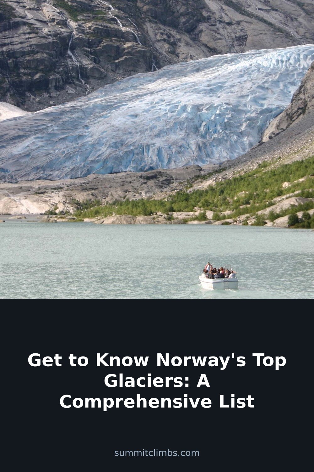
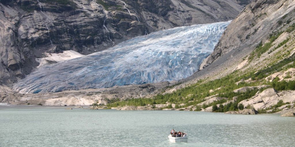
SummitClimbs Field Note: Norway has the largest glacier in mainland Europe and dozens of smaller ice caps, from the fjord country of Vestland to just inside the Arctic Circle. This guide lists the biggest of them by area, explains where each one is and how people usually experience it, and covers the safety basics. One rule applies to all of them: never walk onto a glacier without the right equipment and skills, or a certified guide. Norwegian glaciers are active, crevassed and shrinking.
Norway’s 10 Largest Glaciers
The largest glaciers on the Norwegian mainland by area:
- Jostedalsbreen: 487 km², Vestland (Sogn og Fjordane)
- Vestre Svartisen: 221 km², Nordland
- Søndre Folgefonna: 168 km², Vestland (Hordaland)
- Østre Svartisen: 148 km², Nordland
- Blåmannsisen (Ålmåjalosjiegŋa): 87 km², Nordland
- Hardangerjøkulen: 73 km², Vestland (Hordaland)
- Myklebustbreen (Snønipebreen): 57 km², Vestland (Sogn og Fjordane)
- Okstindbreen: 46 km², Nordland
- Øksfjordjøkelen (Ákšovunjiehkki): 41 km², Finnmark and Troms
- Harbardsbreen: 36 km², Vestland (Sogn og Fjordane)
Jostedalsbreen: Mainland Europe’s Largest Glacier
Jostedalsbreen covers about 487 km² and is a little over 60 km long. Its highest point, Høgste Breakulen, reaches 1,957 m, and the highest peak in the area is Lodalskåpa at 2,083 m. The ice cap spreads across Luster, Sogndal, Sunnfjord and Stryn in Vestland, with its northeastern tip reaching into Skjåk in Innlandet. It covers more than half of Jostedalsbreen National Park (1,310 km², established 1991).
Jostedalsbreen feeds around 50 glacier arms. The best known include Nigardsbreen, Briksdalsbreen, Bøyabreen, Kjenndalsbreen, Tunsbergdalsbreen, Tindefjellbreen and Austerdalsbreen. Nigardsbreen and Briksdalsbreen are the most visited, and guided glacier walks on the outlet glaciers are the usual way to get onto the ice. The Jostedalsbreen National Park Centre is the place to start for information.
The ice is retreating fast. Briksdalsbreen retreated 146 m in 2006 alone and lost around 50 m of ice in a few months in 2012; it may be at risk of separating from the main ice field, and ice climbing there has stopped.
Svartisen: Ice at the Arctic Circle
Svartisen is the collective name for two ice caps in Nordland, with a combined area of about 369 km². Vestre Svartisen (Vestisen, about 221 km²) is the second-largest glacier on the Norwegian mainland and lies just inside the Arctic Circle; Østre Svartisen (Østisen, about 148 km²) is the fourth largest. The valley Vesterdalen separates the two. They lie in Beiarn, Meløy, Rana and Rødøy municipalities, within Saltfjellet–Svartisen National Park.
The best-known arm is Engabreen, an outlet of the western ice cap above Holandsfjorden. Its tongue ended at only about 20 m above sea level in 2007, the lowest point of any glacier on the European mainland.
Folgefonna: The Fjord Ice Cap
Folgefonna is an ice cap in Vestland, in the old Hordaland county. Its southern part, Søndre Folgefonna, is the third-largest glacier in Norway at about 168 km². Read our full guide: Folgefonna: Norway’s ice cap.
Hardangerjøkulen: The Glacier by the Railway
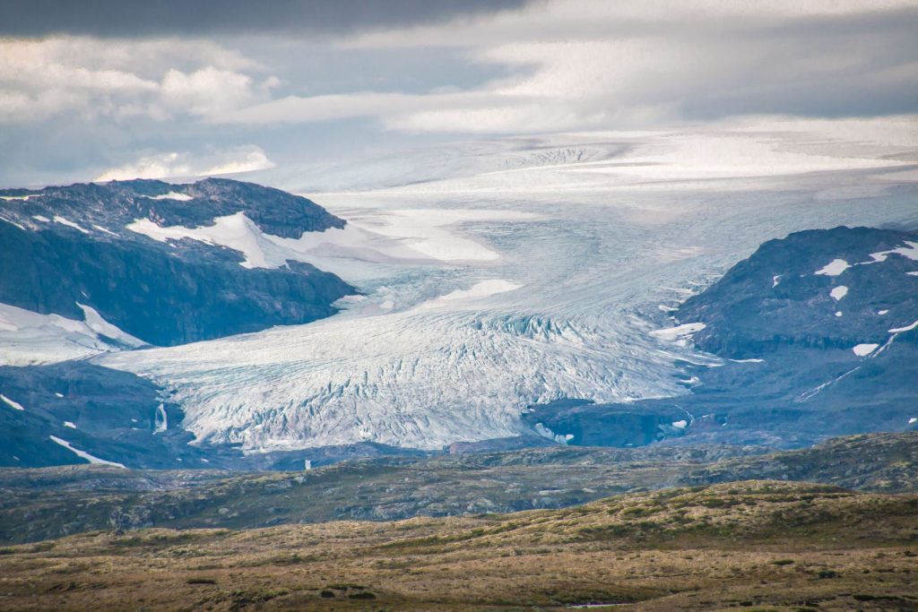
Hardangerjøkulen is the sixth-largest glacier in mainland Norway, at about 73 km², in Eidfjord and Ulvik municipalities. Its highest point, 1,863 m, is the highest point of the old Hordaland county. It lies about 5 km south of Finse, a station on the Bergen Line, which makes it one of the easiest big glaciers to reach without a car; in winter it is reached on skis from Finse. Film fans know it as the ice planet Hoth in The Empire Strikes Back (1980). Read more in the fascinating facts of Hardangerjøkulen.
Glacier Safety Basics
Go with a guide unless you are trained
Crevasses are often hidden under snow bridges, and those bridges weaken as the day warms. Unless your party has crampons, ice axes, a rope, harnesses and real crevasse-rescue skills, book a guided glacier walk. Guides provide the equipment and know the current state of the ice.
Stay away from the glacier front
The tongues of retreating glaciers are unstable. Ice can collapse from the front without warning, so keep well back from the snout and from ice towers (seracs), even when it looks calm.
Respect meltwater
Glacial rivers are cold and fast, and they rise quickly on warm afternoons or after rain upstream. Cross early in the day, use bridges where they exist, and never wade a glacial river you are unsure of.
Weather
Norway’s glaciers are in a maritime climate: rain, fog and sudden cloud are normal, and the ice is colder and windier than the valley. Check the mountain forecast on yr.no for the glacier’s altitude, not the valley, and have a plan for turning back.
The SummitClimbs Take
Norway’s glaciers are some of the most accessible large ice masses in Europe, and some of the fastest-changing. Start with a guided walk on a Jostedalsbreen outlet such as Nigardsbreen, or take the train to Finse and see Hardangerjøkulen. Treat every glacier with the seriousness it deserves, and go soon: the ice you see today will not be the same in ten years.
Glacier areas from the list of glaciers in Norway; details from Wikipedia’s articles on Jostedalsbreen, Svartisen and Hardangerjøkulen. Always book glacier walks with a certified local guide.
Keep the Trails Alive
Summit Climbs is free — no ads, no paywalls, no sponsored fluff.
Every guide is written from real experience to help your next adventure.
If it helped, a small support means the world and keeps the site running.