
Glittertind, also known as Glittertinden, is a stunning mountain located in Lom municipality, Norway. This natural wonder is the second highest mountain in Norway, standing tall at an impressive height of 2,452 meters above sea level. Nestled in the heart of Jotunheimen National Park, Glittertind is surrounded by numerous noteworthy peaks including Trollsteineggje, Trollsteinrundhøe, Svartholshøe, Grotbreahesten, Veslekølen, Austre Hestlægerhøe, Nautgardstinden, Steinbukampen, and Veopallan.
Glittertind, including the glacier on its summit, reaches a height of 2,465 meters above sea level, while without the glacier, it stands at 2,452 meters. In the past, Glittertind was considered a contender for the title of Norway’s highest mountain as measurements showed it was slightly higher than Galdhøpiggen, which reaches a height of 2,469 meters above sea level and has no glacier at the summit. However, controversy arose regarding the classification of the glacier as part of the mountain. With the glacier shrinking in recent years, the dispute was eventually settled in favor of Galdhøpiggen. The official map listed Glittertind at 2,481 meters above sea level in 1917.
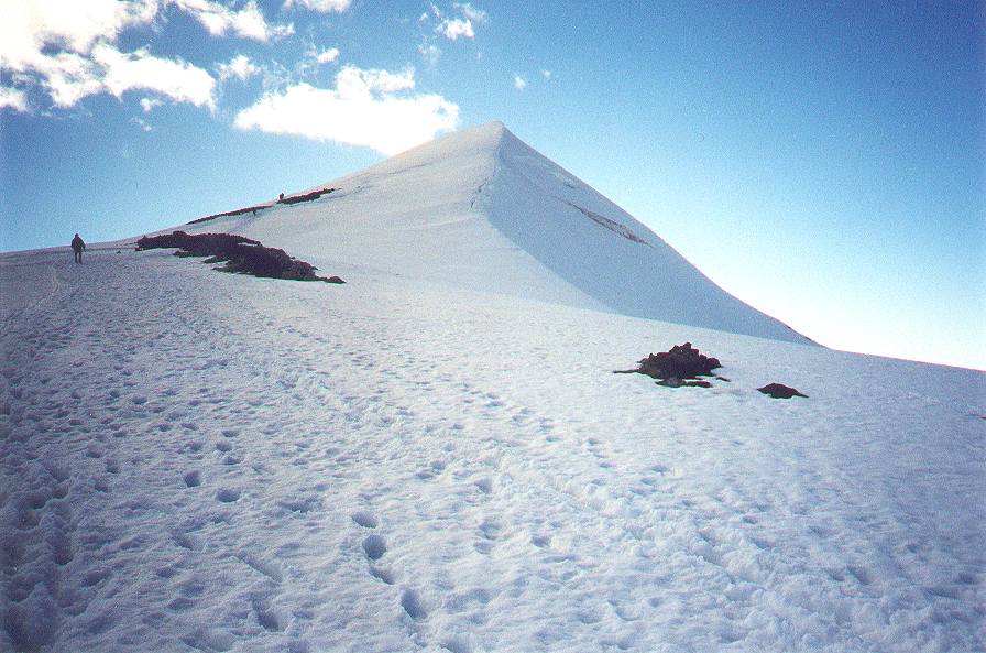
The peak of Glittertind was first reached in 1841 by Harald Nikolaj Storm Wergeland and Hans Sletten. Today, the mountain is easily accessible from the Spiterstulen hut in the west at 1,300 meters and from the Glitterheim hut in the east at around 1,000 meters. While the hike from Glitterheim is easier, it can only be reached on foot as it is located within the boundaries of the Jotunheimen National Park. The hike to the top of Glittertind is a popular activity, with seasonal numbers surpassed only by its western neighbor Galdhøpiggen.
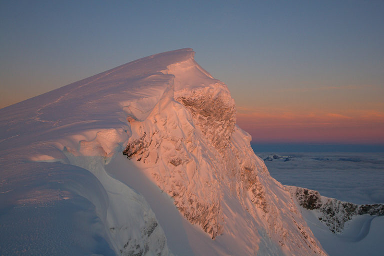
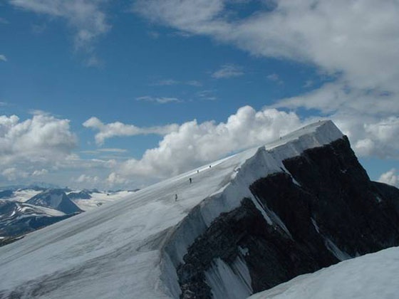
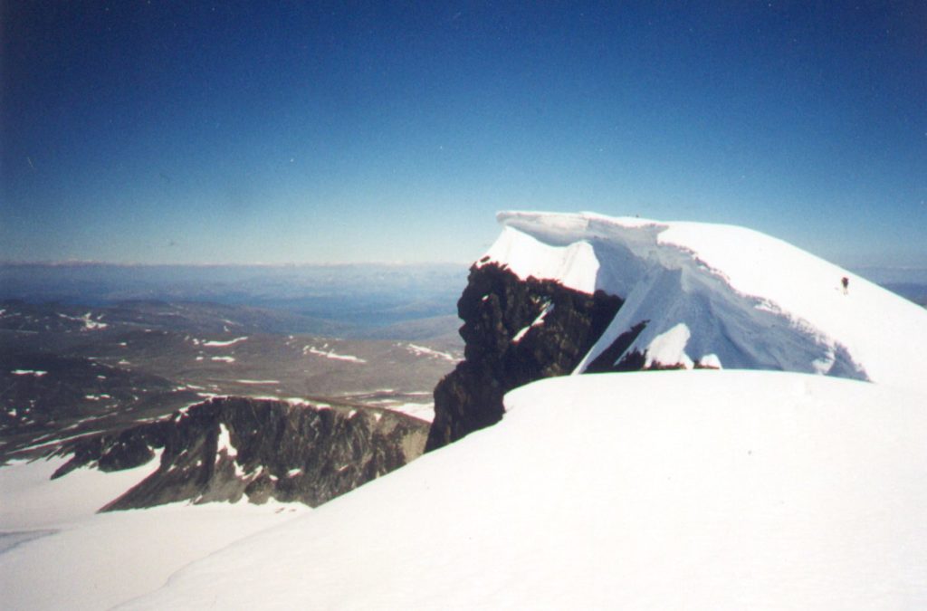
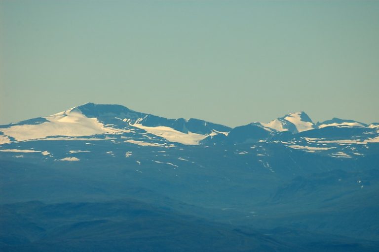
The route across the glacier that crowns the peak is completely crevasse-free, but visitors should be prepared for a wet hike through melting snow on hot summer days. Meltwater blowing over the peak can also leave hikers drenched. The view from the top is breathtaking, with visitors able to see much of the northern and eastern parts of Innlandet as there are almost no high peaks to the east and southeast of Glittertind. All known pictures of the mountain were taken on the east flank just below the summit.
A cabin used to be located on the summit but was toppled by a storm and landed on the Grjotbreen glacier under the steep northern face of the summit. The name Glittertind is derived from the river Glitra, with the last element being the finite form of tind (m), meaning “top of the mountain.” The river’s name comes from the verb glittere, which means “to shine” or “spark.”