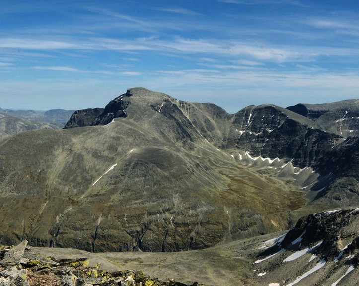
Rondslottet is the highest mountain in the Rondane mountain range, Norway. The 2,178-metre (7,146 ft) mountain is located on the border between the municipality of Dovre and the municipality of Foldal, just north of the border with the municipality of Sel.
The first part of the mountain’s name comes from the word rond, which was probably the original name of the nearby Rondvatnet lake. Many mountains near the lake were then named after this lake. The Old Norse form of the name was rǫnd, meaning “strip” or “edge” (referring to the long and narrow shape of the lake). The last element of the name is the finite form of the Norwegian word slott, meaning “palace”.
Rondeslottet is the king of the Rondane peaks. The mountain is the highest peak of the national park and offers a magical view.
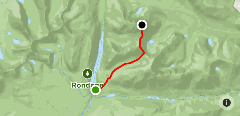
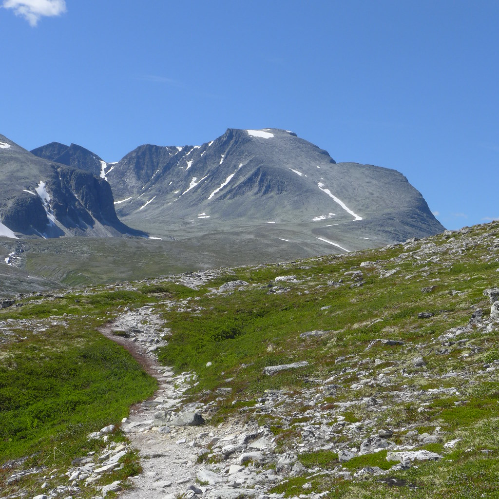
Follow the marked path from Rondvassbu to Rondholet. Continue to Rondholet on the trail section to Storronden. At the lane between Rondholet and Storbotn, in the inner part of Rondholet, the road turns north and follows the ridge up to the summit of Vinjeronden (2044). Here it is very steep, with many loose stones. After this section you will reach the top of Vinjeronden.
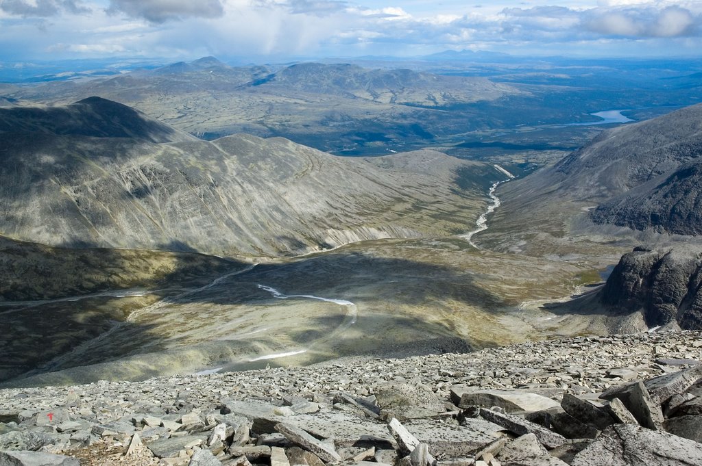
From Vinjeronden you descend steeply into the gorge, then climb steeply again and walk between the edge of Storbotn and Styggebotn further to Rondeslottet. The slope is pleasant to walk on, but be careful on its edges. Here you will come across a lot of loose stones. Always watch where you place your feet.
Return by the same route. The route takes about seven hours round trip.
This route requires a lot of physical strength and endurance. This mountain is not a good choice if this is your first mountain hike.