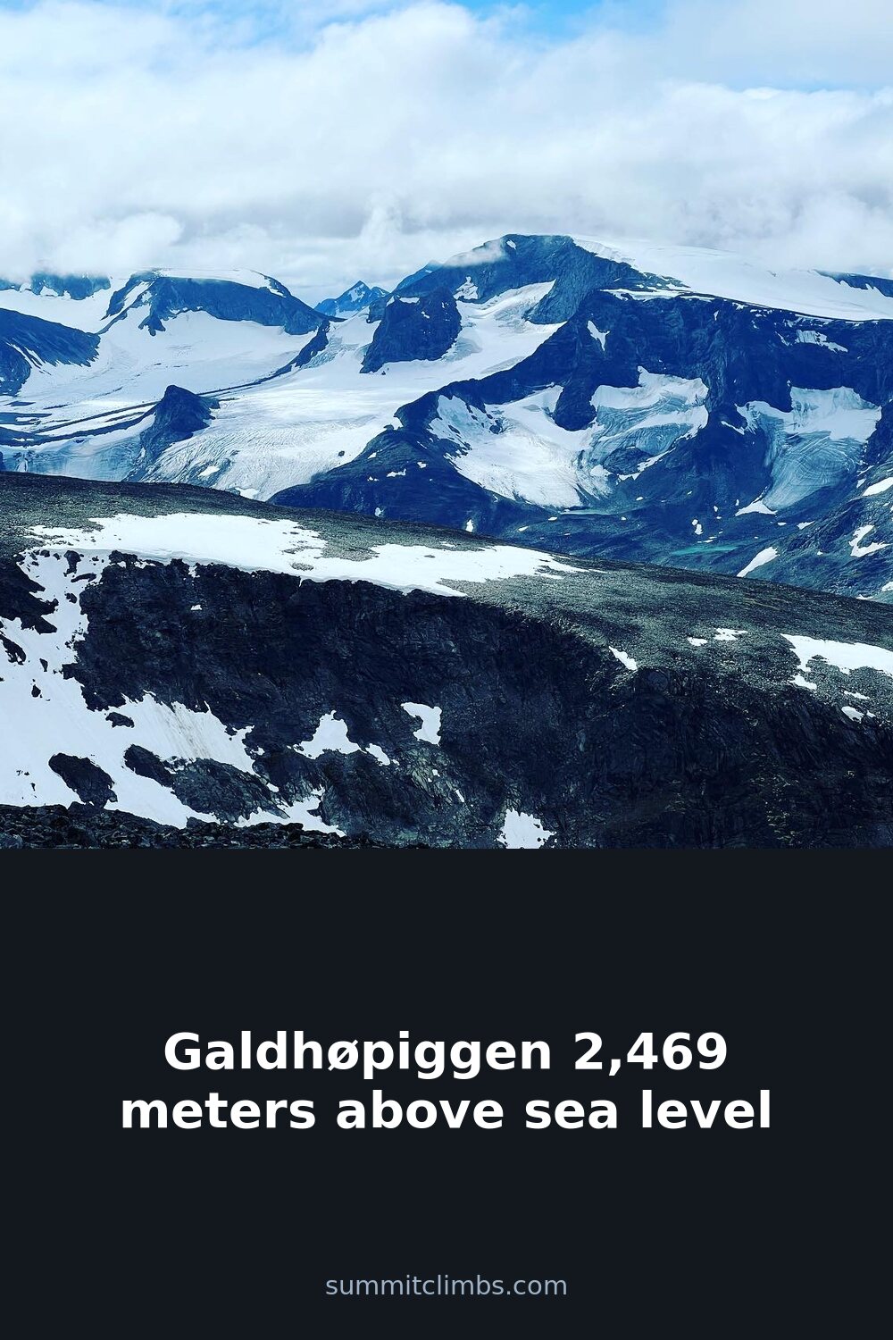
SummitClimbs Field Note: Galdhøpiggen (2,469 m) is the highest summit in Norway and all of Northern Europe, but its status as a “bucket-list peak” often obscures the real question: does it suit your route style and experience level? The answer depends entirely on which side you approach from. This is not a single climb—it’s two very different days out, separated by a glacier and a choice.
Why This Place Belongs on a Norway Mountain Plan
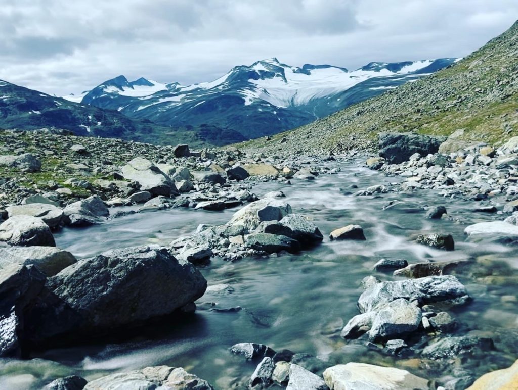
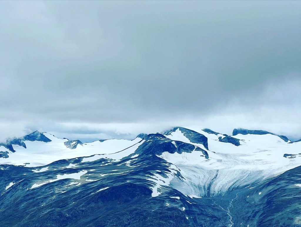
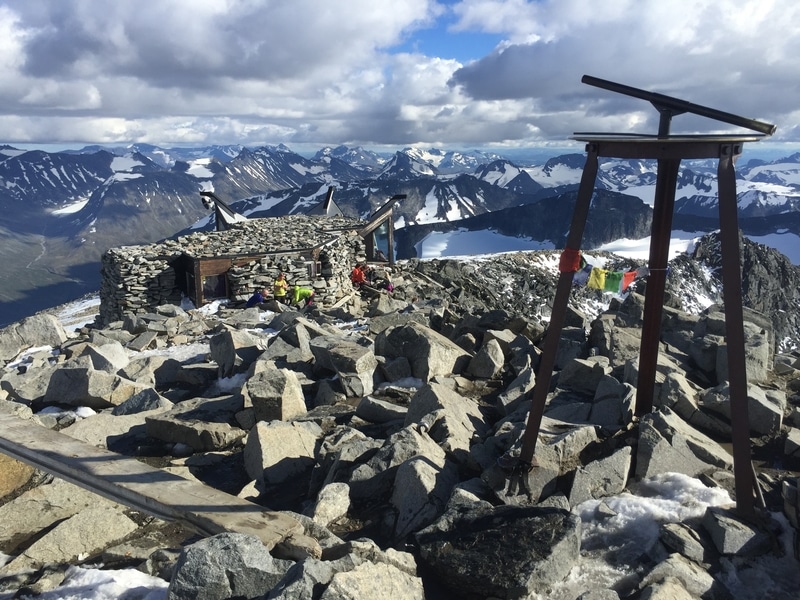
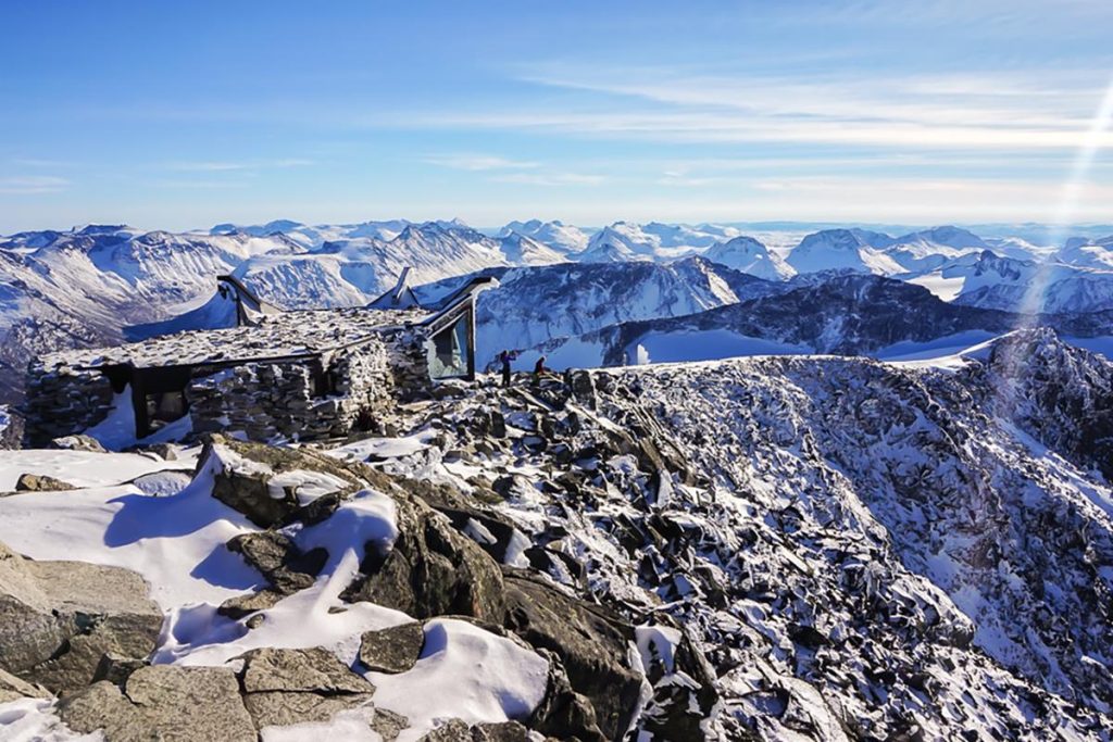
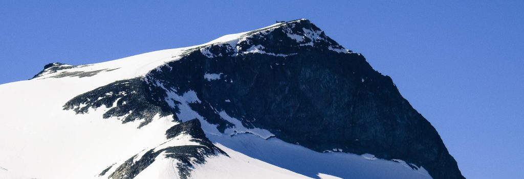
Galdhøpiggen sits at the heart of Jotunheimen National Park, a landscape shaped by 600 million years of geology and the grinding of ice. The mountain is built from gabbro, a dark, coarse igneous rock, and its present form—steep ridges, exposed rock, lingering snowfields—is a direct result of glacial erosion during the last ice age. That ancient origin gives the summit a raw, unpolished feel, even though it draws thousands of visitors each summer.
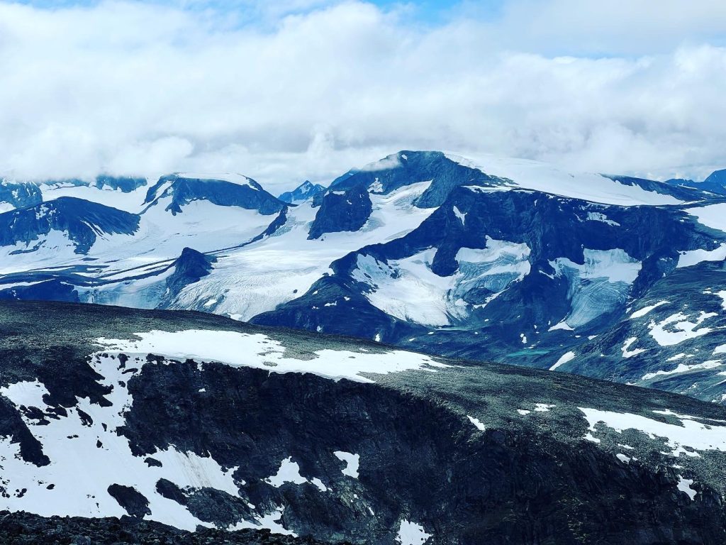
For anyone building a Norway mountain itinerary, Galdhøpiggen offers a rare combination: a genuine high-altitude Nordic summit that can be reached by fit beginners on one route, while still providing a legitimate glacier challenge on the other. It is not a technical alpine climb in the style of the Matterhorn, but it is a serious mountain with real weather, real exposure, and real consequences for poor planning.
The SummitClimbs Snapshot
- Summit height: 2,469 m above sea level
- Region: Jotunheimen National Park, central Norway
- First recorded ascent: 1850, by Lars Arnesen, Svein S. Sulheim, and Arne Uglum from Lom
- Main route styles: Non-technical hike (Spiterstulen) and glacier-crossing with guide (Juvasshytta)
- Season: June to September, with July and August offering the most stable conditions
- Best for: Fit hikers comfortable with sustained elevation gain; parties with glacier experience or a willingness to hire a certified guide
Route Reality and Local Conditions
There are two standard approaches, and they are not interchangeable. Choose based on your group’s experience, not on which sounds more impressive.
From Spiterstulen (the standard route)
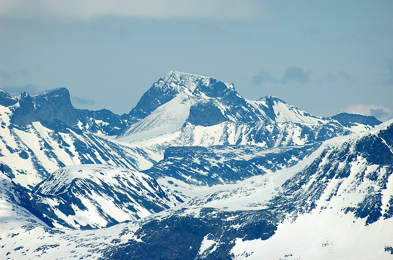
This is the most popular line and the one most guidebooks describe as “suitable for families and beginners.” That is accurate—with important caveats. The trail is well-marked, does not require glacier travel, and takes most parties 4–5 hours up and 2–3 hours down. The terrain is rocky and exposed in sections, with some snow patches lingering well into July. You need proper footwear, windproof layers, and enough water and food for a full day. This is not a casual walk; it is a sustained, steep hike at altitude. Beginners will manage it if they are fit and prepared, but underestimating the descent time is a common mistake.
From Juvasshytta (the glacier route)
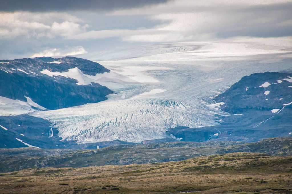
This approach crosses the Styggebreen glacier and requires a guide, proper glacier equipment (crampons, rope, harness), and basic knowledge of crevasse rescue. The route is shorter in distance but more technically demanding. Do not attempt this without a guide unless you have documented glacier travel experience and current knowledge of the crevasses. The Norwegian mountain rescue services report incidents every season from parties who overestimated their glacier skills. Hire a guide from Juvasshytta—it is not an option; it is the standard.
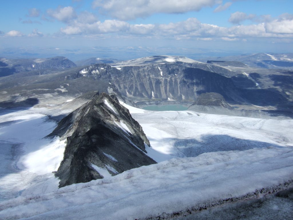
Weather and timing: Conditions on Galdhøpiggen change fast. A clear morning can turn into afternoon cloud, wind, and rain within 30 minutes. Start early (before 8 a.m.) and aim to be off the summit by early afternoon. Check the forecast from yr.no or consult lodge staff the evening before. Snow bridges on the glacier route weaken as the day warms, so early starts are critical there as well.
What to Watch For
- Glacier complacency: The Styggebreen route is not a “glacier walk” for beginners. Crevasses shift each year. Do not rely on old GPS tracks or advice from forums.
- Descent fatigue: The Spiterstulen route is steep on the way down. Knees take a beating. Trekking poles are strongly recommended.
- Weather windows: June can still hold deep snow; September brings early frost and shorter days. July and August offer the most reliable windows, but even then, pack for winter conditions at the summit.
- Navigation in cloud: The summit plateau is broad and featureless in low visibility. Even on the standard route, a compass and map (or a GPS with offline topo) are essential. Phone signal is unreliable.
- Leave No Trace: This is a national park. Pack out all waste, stay on trails, and do not disturb the fragile alpine vegetation. The ecosystem recovers slowly at this altitude.
The SummitClimbs Take
Galdhøpiggen is a genuine high-altitude summit that rewards preparation and punishes casual decisions. The Spiterstulen route is one of the finest non-technical mountain days in Scandinavia, but it is not a “beginner hike” in the sense of a lowland trail. The Juvasshytta route offers a real glacier experience for those ready to commit to proper training and a guide. Either way, this is a mountain that demands respect for weather, terrain, and your own limits.
If you are building a Norway mountain plan, include Galdhøpiggen—but choose your route honestly, start early, and treat the summit as the midpoint of your day, not the end. That is the mindset that gets you down safely, and that is what SummitClimbs stands for.
Keep the Trails Alive
Summit Climbs is free — no ads, no paywalls, no sponsored fluff.
Every guide is written from real experience to help your next adventure.
If it helped, a small support means the world and keeps the site running.