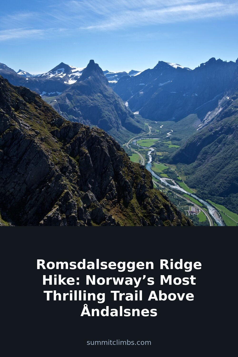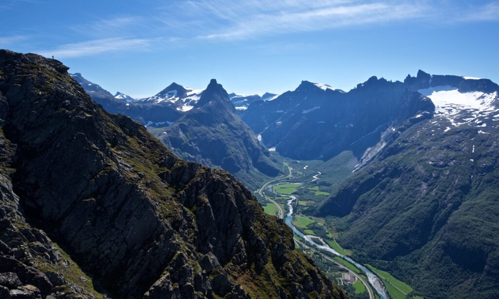
SummitClimbs Field Note: The Romsdalseggen ridge is not a secret. It is a well-known, well-trodden line above Åndalsnes that earns its reputation through exposure, not ease. This is a day-long traverse across a narrow spine of gneiss with the Romsdalsfjord on one side and the Troll Wall on the other. It demands respect for weather, footing, and your own judgment. If you want a safe, scenic walk in the Norwegian mountains, there are gentler options. If you want a ridge that asks for your full attention and gives back a view that stays with you, this is the one.
Why This Place Belongs on a Norway Mountain Plan
Romsdalseggen sits in the Romsdal Alps, a region shaped by deep fjords and steep valley walls. The ridge itself is roughly 10 kilometers long with about 900 meters of elevation gain, but those numbers only hint at the character of the hike. What sets it apart is the constant exposure along the crest. For much of the route, you walk a line where the ground falls away sharply on both sides. The trail is clear and well-maintained, but it does not forgive a careless step.
The views are the other reason this hike belongs on any serious Norway mountain plan. From the ridge, you look down into the Romsdalsfjord, across to the vertical face of Trollveggen, and out over a tangle of peaks that stretch in every direction. On a stable day, the visibility is extraordinary. On a day with low cloud or high wind, the ridge becomes a different proposition entirely. The landscape does not change; your ability to move through it safely does.
Accessibility also plays a role. Åndalsnes is a small town with good transport links, including the Rauma Railway, and the trailhead at Vengedalen is a short drive or taxi ride away. You can arrive by train from Oslo or Dombås, walk the ridge, and be back in town for dinner. That convenience, combined with the high alpine character of the route, makes Romsdalseggen a logical choice for anyone with a limited window but a strong desire to experience the real Norwegian mountains.
The SummitClimbs Snapshot
- Region: Møre og Romsdal, Romsdal Alps
- Start/End: Vengedalen trailhead to Åndalsnes (or reverse, but the standard direction runs west to east)
- Length: Approximately 10 kilometers
- Elevation gain: Roughly 900 meters
- Time: 6 to 8 hours, depending on pace and conditions
- Season: Late June through September, with July and August offering the most stable weather
- Difficulty: Challenging. Requires good fitness, a head for heights, and experience with exposed terrain
- Exposure: Significant. The ridge narrows in sections, with steep drops on both sides
- Navigation: Well-marked with red T’s on rocks. No technical route-finding required in clear conditions
- Water: No reliable sources on the ridge. Carry at least 2 liters per person
- Facilities: None on the trail. Toilets and parking at Vengedalen
Route Reality and Local Conditions
The hike begins at the Vengedalen parking area, which sits at the head of a valley about 20 minutes from Åndalsnes by car. From there, the trail climbs steadily through birch forest and open heath, gaining elevation in a series of switchbacks. This initial section is straightforward but sustained. You will feel the climb in your legs before you reach the ridge proper.
Once you crest the first rise, the character of the hike changes. The trees fall away, the wind picks up, and the view opens to the fjord below. The trail follows the crest of the ridge from here, undulating over rocky outcrops and narrow sections where the path is only a few meters wide. In some places, the drop on either side is hundreds of meters straight down. The footing is generally good—mostly solid rock with some loose gravel—but it requires constant attention.
The highest point on the ridge is marked by a cairn near Nesaksla, a rocky promontory that juts out over the fjord. This is a natural place to stop, take photos, and assess the remaining distance. From here, the trail continues east, passing above the Troll Wall before beginning the descent toward Åndalsnes.
The descent is steep and can be technical in places. The trail drops through a series of rocky gullies and scree slopes before leveling out into the valley floor. The final section follows a gravel road through a residential area into the town center. If you have arranged a shuttle or left a car at the start, you will need to take a taxi or bus back to Vengedalen.

Local conditions vary significantly with the season. In July and August, the ridge is usually free of snow, and temperatures at elevation range from 10 to 18 degrees Celsius. In late June or early September, snow patches can linger on the northern slopes, and the wind on the ridge can be strong enough to make standing difficult. Always check the forecast from Yr.no or Storm.no before starting. If the forecast calls for sustained winds above 20 meters per second or low cloud cover, postpone the hike.
What to Watch For
Weather changes
The ridge creates its own weather. Conditions can be calm in Åndalsnes and violent at 1,200 meters. Wind speed and direction are the primary concerns. A ridge that feels safe in light wind becomes dangerous in gusts. Rain also reduces traction on the rock and can make the descent treacherous. Do not assume that a clear morning guarantees a clear afternoon.
Exposure and footing
The narrow sections of the ridge are not technical in the climbing sense, but they are committing. There is no room for error. If you are uncomfortable with heights, this trail will test you. The rock is generally stable, but loose gravel and small stones are common on the descent. Wear boots with good ankle support and a sole that grips rock well.
Timing and daylight
Six to eight hours is a realistic estimate for a fit hiker moving at a steady pace. If you stop frequently for photos or rest, add time. In the summer, daylight is abundant, but in late August or September, the sun sets earlier, and the ridge is no place to be caught in the dark. Start by 8:00 AM at the latest.
Physical demands
The elevation gain is concentrated in the first half of the hike. The descent is steep and can be hard on knees and ankles. This is not a beginner trail. You should be comfortable with sustained effort over uneven terrain for several hours.
The SummitClimbs Take
Romsdalseggen is one of the best day hikes in Norway, but only for the right person. It rewards fitness, preparation, and a calm head. The views are exceptional, the exposure is real, and the route is logical and well-marked. It does not require technical climbing skills, but it does require mountain judgment.
If you treat it with respect—starting early, checking the weather, carrying enough water, and wearing proper footwear—you will have a day that justifies the journey. If you underestimate it, the ridge will remind you that the mountains do not care about your plans.
SummitClimbs recommends this hike for experienced hikers who want a single-day route with high alpine character and easy access. It is not a family walk or a casual stroll. It is a proper ridge traverse, and it deserves to be treated as one.
Keep the Trails Alive
Summit Climbs is free — no ads, no paywalls, no sponsored fluff.
Every guide is written from real experience to help your next adventure.
If it helped, a small support means the world and keeps the site running.