SummitClimbs Field Note: Trolltunga is not a walk. It is a 27-kilometre round-trip day in the mountains of Vestland, with 900 metres of vertical gain and a summit that hangs 700 metres above a lake. The name means “the troll tongue,” and the rock formation delivers exactly what that suggests: a narrow, horizontal ledge that makes you feel like you’re stepping off the map. This is a serious hike for fit, prepared people. It is not a viewpoint you drive to. But if you understand what you’re signing up for, it is one of the most memorable cliff edges in Norway.
Why This Place Belongs on a Norway Mountain Plan
Trolltunga sits at 1,126 metres above sea level on the edge of the Hardangervidda plateau, in Ullensvang Municipality. The geology is ancient—Precambrian gneiss and granite, shaped by glacial ice over hundreds of millions of years. What you stand on is a remnant of the last Ice Age, polished by frost and water. The cliff protrudes horizontally over Ringedalsvatnet, and from the tip, there is nothing between you and the water but air.
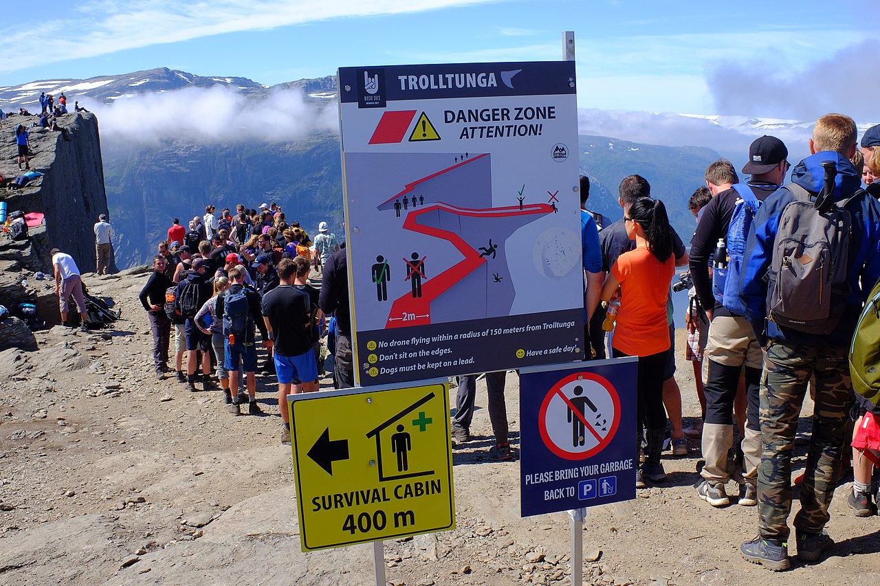
More than 80,000 hikers now make the trek each year. That number tells you two things: the place is extraordinary, and you will not have it to yourself. But the numbers also reflect a shift. What was once a local secret is now a fixture on international mountain itineraries. That does not diminish the hike. It just means you need to plan for company, especially in July and August.
Norwegian folklore adds a layer. Local stories say the tongue belonged to a troll that was caught in the sun and turned to stone. It is a good story, and it fits the landscape. The Hardangervidda plateau feels ancient in a way that invites myth. But the practical reality is what matters on the day: a long, exposed route with real weather risk and no shortcuts.
The SummitClimbs Snapshot
- Trailhead: Skjeggedal, about 7 kilometres from Tyssedal. Alternative start at P3 parking lot, which shortens the hike to 20 kilometres but adds a steeper initial climb.
- Distance: 27 kilometres round-trip from Skjeggedal. 20 kilometres from P3.
- Elevation gain: 900 metres from Skjeggedal. 1,100 metres from P3.
- Time: 10 to 12 hours, depending on fitness and conditions.
- Season: June to September is the standard window. Outside that, snow and avalanche risk close the trail to all but experienced winter mountaineers.
- Difficulty: Strenuous. This is a full-day mountain hike with sustained climbing, uneven terrain, and exposure to rapid weather changes.
- Best for: Experienced hikers comfortable with long days, rocky trails, and self-reliance. Not for beginners or casual walkers.
Route Reality and Local Conditions
The trail starts with a steep push through switchbacks and rocky ground. You gain elevation quickly, and the first hour sets the tone. Early on, you pass the Mågelitopp viewpoint, which gives a good look at the fjord and the valley below. It is a natural place to pause and adjust your pace.
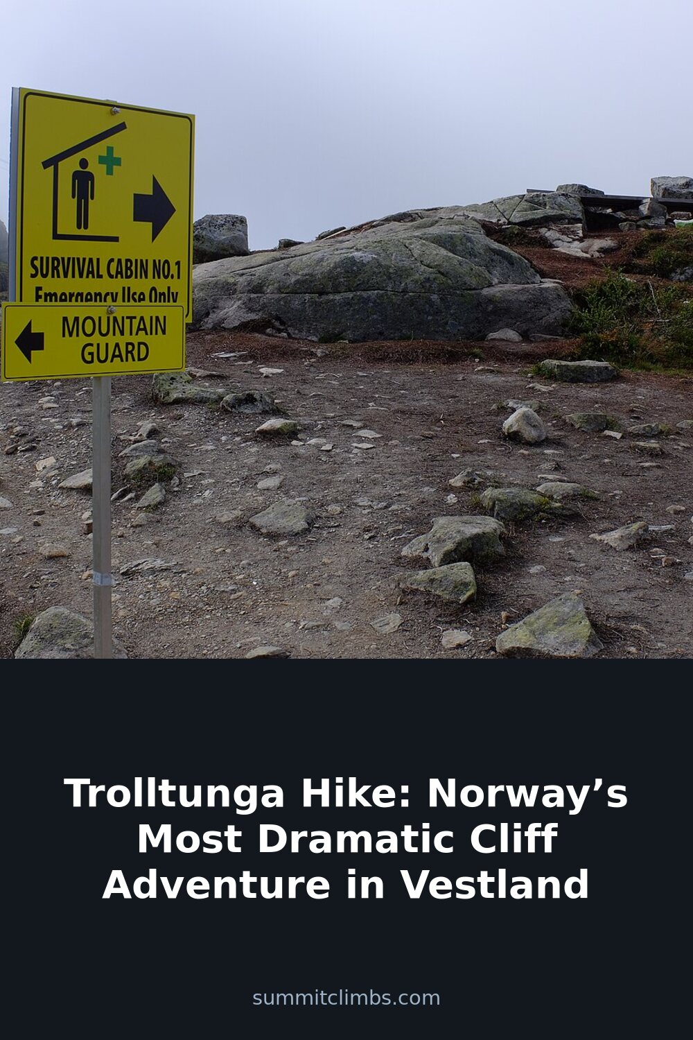
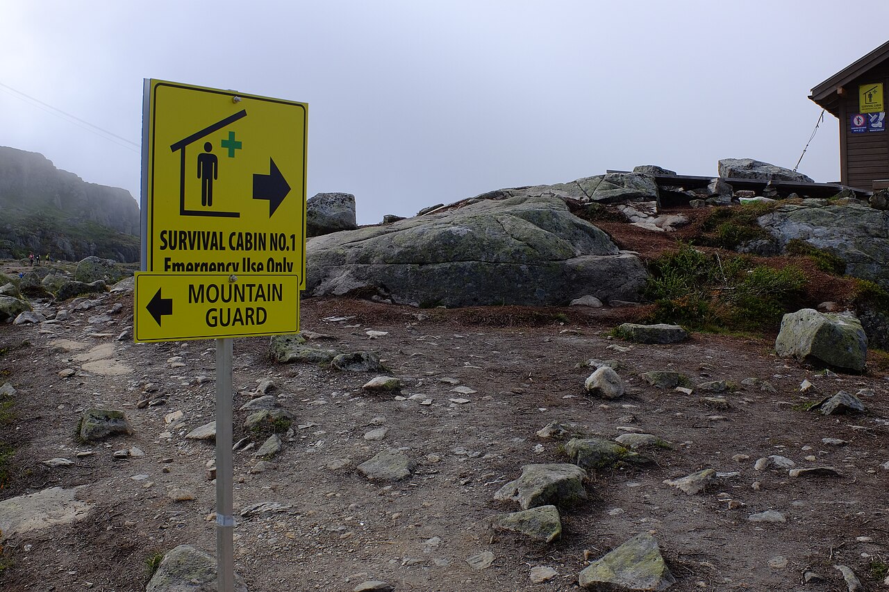
After the initial climb, the route levels as it crosses the Hardangervidda plateau. This section is more forgiving underfoot, but it is also exposed. The views open across Ringedalsvatnet and the surrounding peaks. The plateau section can feel long, especially if the weather closes in. There are no supply points, no huts, and no shelter beyond two emergency cabins—one near the start, one roughly halfway. These are for emergencies only. Do not plan to use them as rest stops.
The final approach is rougher. Boulders, scree, and uneven ground replace the plateau path. The last scramble brings you to the cliff itself. The ledge is wider than many photos suggest, but the drop is absolute. The experience of standing on it is quiet and personal. The wind often picks up here. The light changes fast.
Weather is the dominant variable. Even in summer, temperatures can drop below freezing. Fog, rain, and snow are possible in any month. The trail gets muddy and slippery. The Norwegian Meteorological Institute forecast is your pre-hike bible. Check it the night before and again at trailhead. If conditions look marginal, turn back. The mountain will hold.
Crowds are real. July and August see the most traffic. The trail can feel like a procession in places. To avoid the worst of it, start early—4 or 5 AM. June and September offer better odds of solitude and still have workable weather. The P3 route is less crowded but more punishing. Choose based on your fitness and your tolerance for company.
What to Watch For
- Fitness: Train before you go. This is not a hike you can wing. Build up with long days and significant elevation gain. Stair climbing works well if you lack mountain access.
- Footwear: Sturdy boots with ankle support are non-negotiable. The trail is rocky, uneven, and often wet. Trekking poles help on the descent and on loose sections.
- Pack weight: Carry at least 2 litres of water, high-energy food, extra layers, a first-aid kit, and a headlamp. The hike can take longer than expected. Be ready for darkness.
- Timing: Start by 5 or 6 AM at the latest. Give yourself a full daylight window. Even with late summer sunsets, descending in the dark on this terrain is not ideal.
- Photo safety: The iconic shot from the tongue is worth taking. It is not worth falling for. Stay on solid rock. Do not lean over the edge. Be aware of others waiting their turn.
- Leave no trace: The plateau is fragile. Pack out everything you bring. Stick to the trail. This area sees heavy use, and it needs every hiker to act responsibly.
- Know when to quit: If you are not feeling strong, or the weather turns, or the day is getting away from you, turn around. There is no shame in it. The mountain is not going anywhere.
The SummitClimbs Take
Trolltunga delivers exactly what it promises: a dramatic cliff edge at the end of a long, demanding day. The hike is not technical, but it is physically serious, and the weather can turn a hard day into a dangerous one. This is a route for people who understand mountain travel, not for those looking for a scenic stroll with a photo op.
The surrounding region adds depth to any trip. Hardangervidda National Park offers miles of plateau hiking and wild reindeer. Låtefossen waterfall is a short detour and worth the stop. Odda is the logical base, with cafes and lodging for before and after the hike. The Hardangerfjord itself is a landscape worth exploring on its own terms.
If you train, prepare, and respect the conditions, Trolltunga will reward you. If you underestimate it, the mountain will remind you who is in charge. SummitClimbs recommends this hike for experienced mountain hikers who want a full-day challenge in one of Norway’s most iconic settings. Go with a plan, go early, and go ready to turn back if the day says no.
Keep the Trails Alive
Summit Climbs is free — no ads, no paywalls, no sponsored fluff.
Every guide is written from real experience to help your next adventure.
If it helped, a small support means the world and keeps the site running.