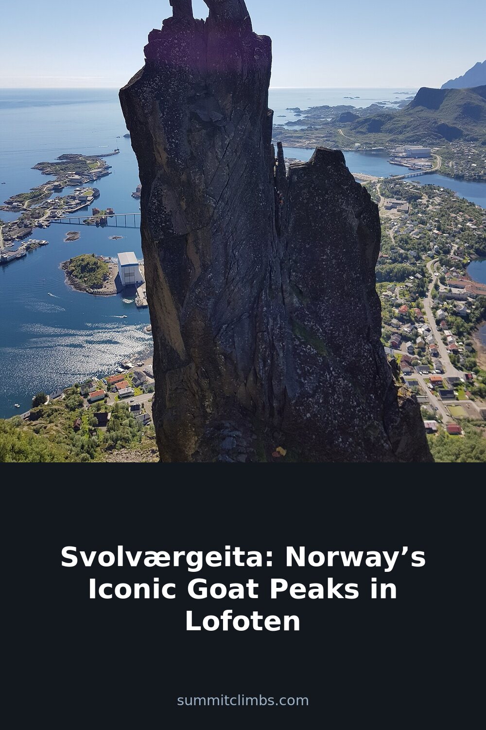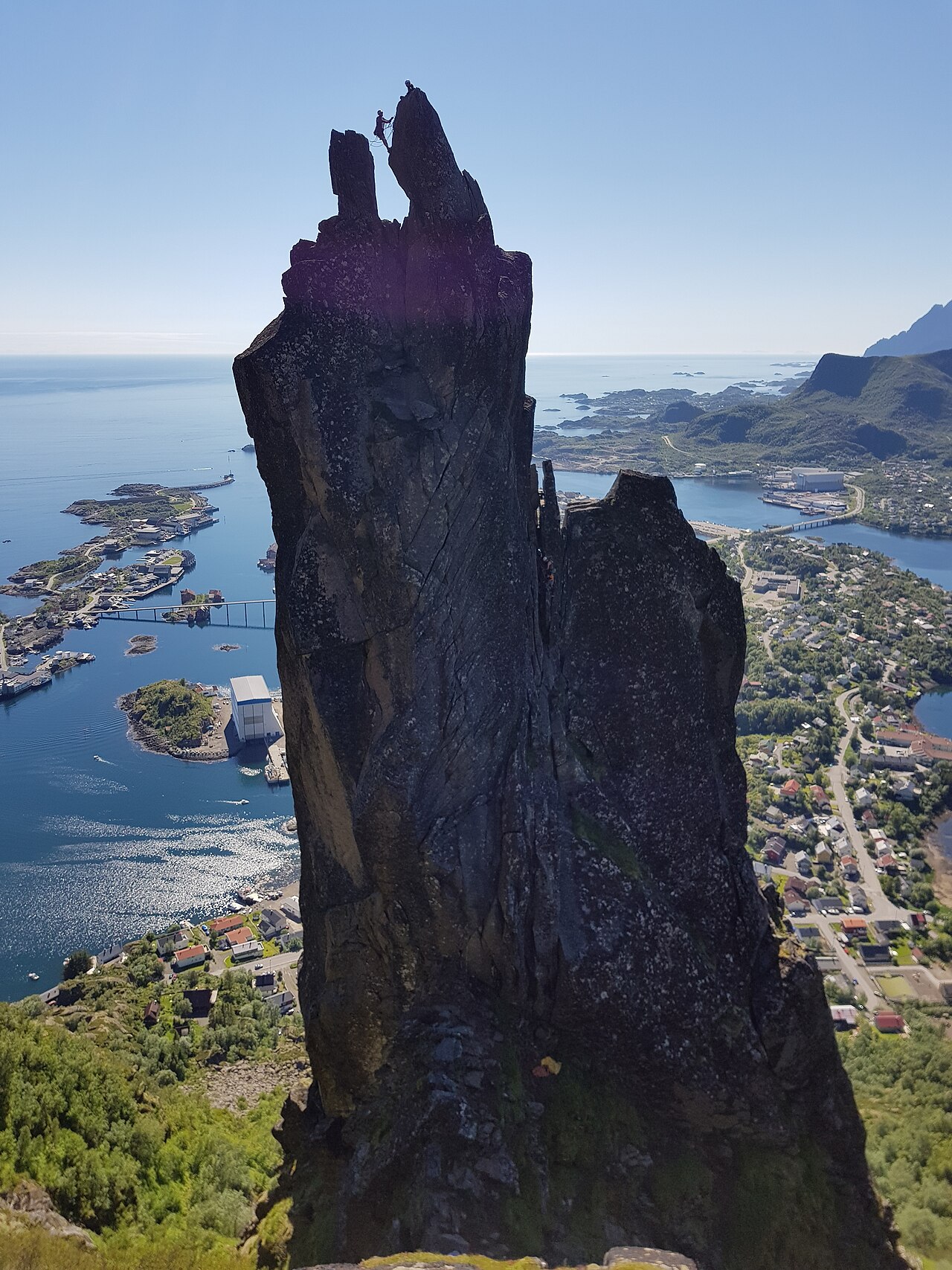
SummitClimbs Field Note: Svolværgeita is not a beginner’s summit, nor is it a casual day out for those who simply want a photo from a distance. It is a sharp, serious piece of rock that demands respect for its exposure, its weather window, and the technical leap at its finish. Located a short walk from Svolvær town centre on Austvågøya, this 150-metre granite horn rising from Fløyfjellet’s southwest face is one of Lofoten’s most photographed and climbed features. But the photograph doesn’t tell you about the wind that can funnel through the gap between the horns, or the slick granite after a morning shower. This article is written for those who want to understand what it actually takes to stand on top—or simply to see it well from below.
Why This Place Belongs on a Norway Mountain Plan
Lofoten is full of dramatic peaks, but Svolværgeita holds a unique position in Norwegian mountaineering history. The first recorded ascent by Ferdinand Schjelderup, Alf Bonnevie Bryn, and Carl Wilhelm Rubenson on 1 August 1910 marked a milestone that still resonates. The route they established—now known as the Schjelderup route—remains the standard line, rated Norwegian grade 4. That grade places it within reach of competent climbers who are comfortable with exposure, but it is not a route to underestimate.
Beyond the climbing history, the pinnacle’s shape is unmistakable: two narrow horns that resemble a goat’s head, visible from the harbour and the surrounding ridges. It is a landmark that orients you in the landscape, and for many, the goal is not just to climb it but to understand the geology beneath it. The granite and gneiss here are ancient, shaped by glacial erosion that left this spire standing while softer rock was scoured away. That story is written into every hold.
Accessibility also sets this place apart. Unlike many Lofoten summits that require a full-day approach or a boat crossing, the trailhead for Fløyfjellet is a ten-minute walk from Svolvær’s centre. That convenience means you can combine a morning climb with an afternoon in town, but it also means the route gets busy. Plan accordingly.
The SummitClimbs Snapshot
- Location: Southwest face of Fløyfjellet (569 m), Austvågøya, Lofoten archipelago
- Height of pinnacle: 150 m (490 ft) from base to top of the horns
- Climbing grade: Norwegian grade 4 (roughly equivalent to UIAA IV, YDS 5.6–5.7)
- First ascent: 1 August 1910 by Schjelderup, Bryn, and Rubenson
- Approach time: 1.5–2 hours hike from town to Fløyfjellet summit ridge; then 30–45 minutes to the pinnacle base
- Best season: June to August for reliable dry rock; September can work with stable weather
- Who it suits: Experienced climbers comfortable with exposed scrambling and a short technical crux; hikers happy to stop at the base for views
- Who it does not suit: Beginners without a guide; anyone afraid of heights or uncomfortable with a mandatory leap between horns
Route Reality and Local Conditions
The journey to Svolværgeita begins on foot from Svolvær town. Follow signs for Fløya or Tjeldbergtinden; the trail is well-worn but rocky and steep in sections. Sturdy hiking boots are essential, even if you’re not climbing, because the terrain is uneven and can be slick after rain. The ascent to the summit of Fløyfjellet takes most hikers between 1.5 and 2 hours, depending on pace and fitness. The trail gains elevation steadily, with no particularly technical sections, but the gradient is sustained enough to test your legs.
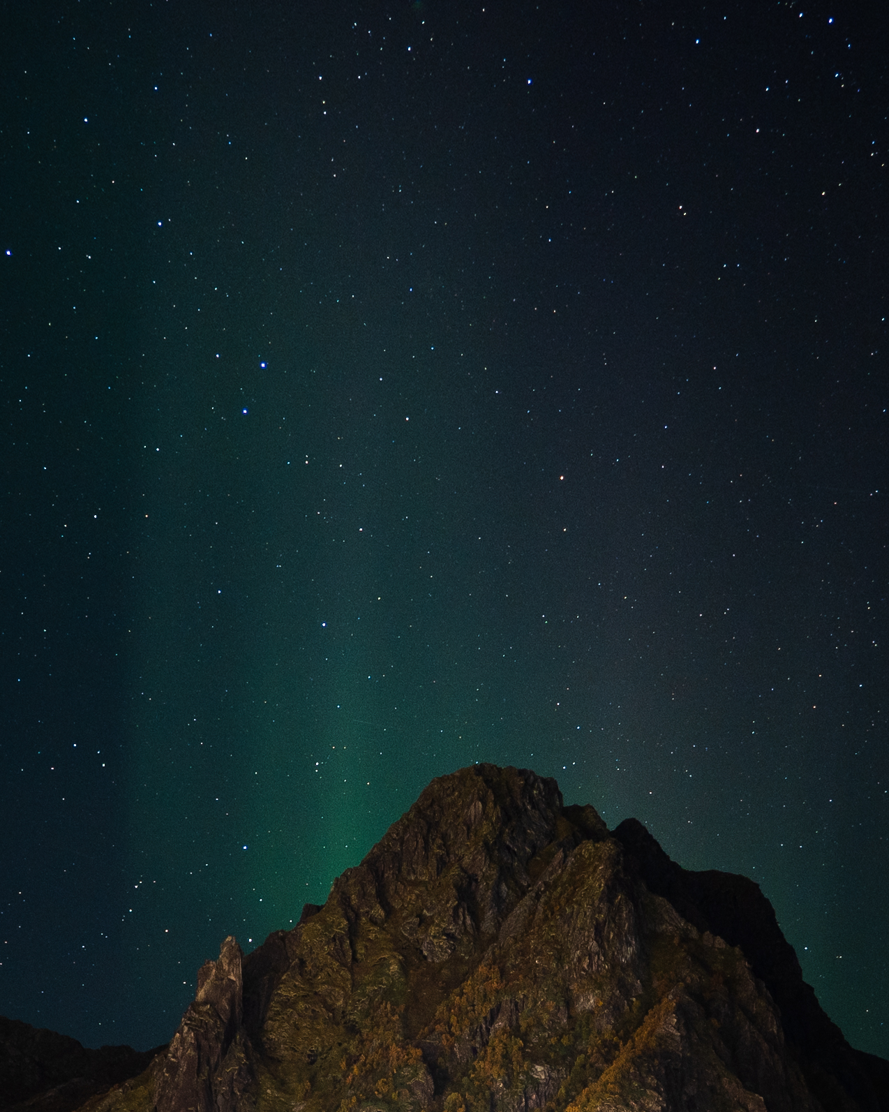
From the Fløyfjellet summit, the ridge continues toward Svolværgeita. The pinnacle becomes visible as you approach, and the final approach involves a short descent and traverse across rocky ground. For hikers who do not intend to climb, the base of the pinnacle offers a superb vantage point for photography and a clear view of the horns. The air is clean, carrying the scent of saltwater and pine, and the sound of seabirds echoes off the granite.
For climbers, the standard route begins at the base of the pinnacle’s southwest face. The Schjelderup route involves a mix of scrambling and technical climbing on solid granite. The crux is the traverse between the two horns—a narrow gap that requires a steady nerve and a short but committing leap from one horn to the other. This move is the defining moment of the climb, and it is not optional. A 30-metre rope is typically sufficient for the route, and a helmet is non-negotiable given the exposure and the potential for loose rock. Climbers should bring a harness, climbing shoes, a few slings, and carabiners for protection. Local guides are available in Svolvær and are recommended if you are unfamiliar with the route or the rock quality.
Weather in Lofoten is famously unpredictable. Clear skies can turn to fog or rain within an hour, and the wind can funnel through the ridge with surprising force. Check the forecast the morning of your climb, and be prepared to turn back if conditions deteriorate. The rock becomes dangerously slippery when wet, and visibility on the ridge can drop to near zero in fog. Do not push a summit attempt in marginal weather; the pinnacle will still be there tomorrow.
What to Watch For
- Exposure: The final leap between the horns is not technically difficult, but the drop on either side is significant. A slip here would be serious. Ensure your belay is solid and your head is in the right space before committing.
- Rock quality: The granite is generally good, but loose flakes exist, especially after winter freeze-thaw cycles. Test every hold before weighting it fully.
- Other parties: This is a popular route. You may encounter other climbers at the base or on the horns. Communication and patience are essential; there is no room for rushing on the crux.
- Navigation: The trail from town to Fløyfjellet is well-marked, but the ridge to the pinnacle is less defined. In fog, it is easy to lose the path. Carry a map, compass, or GPS device, and know how to use them before you need them.
- Wildlife: Seabirds nest on the cliffs. Avoid disturbing them, especially during breeding season (May–July). Stick to the established route and do not venture off-trail onto vegetated slopes.
- Leave no trace: Pack out all waste, including food wrappers and tape. The fragile alpine environment recovers slowly from human impact.
The SummitClimbs Take
Svolværgeita is a classic for good reason: it combines accessible approach, genuine climbing history, and a summit that demands something more than just fitness. The leap between the horns is a moment that separates a walk from a mountaineering memory. But the same qualities that make it iconic also make it a place where preparation matters. This is not a climb to attempt on a whim after a long lunch in town. The weather window is narrow, the rock can be unforgiving, and the exposure is real.
For those who do not climb, the hike to the base is still worthwhile. The views across Svolvær harbour, the Trollfjord, and the surrounding peaks of Vågakallen and Higravstinden are among the finest in Lofoten. Bring a camera, but also bring patience—the light changes fast, and the best shots come to those who wait.
Ultimately, Svolværgeita rewards respect. Treat it with the same seriousness you would any alpine objective, and you will leave with a story worth telling. SummitClimbs recommends this destination for experienced climbers and prepared hikers alike, with the clear caveat that the horns are not a place for overconfidence. Go with a guide if you are unsure, go early if you want solitude, and go prepared to turn back if the mountain says no.
Keep the Trails Alive
Summit Climbs is free — no ads, no paywalls, no sponsored fluff.
Every guide is written from real experience to help your next adventure.
If it helped, a small support means the world and keeps the site running.