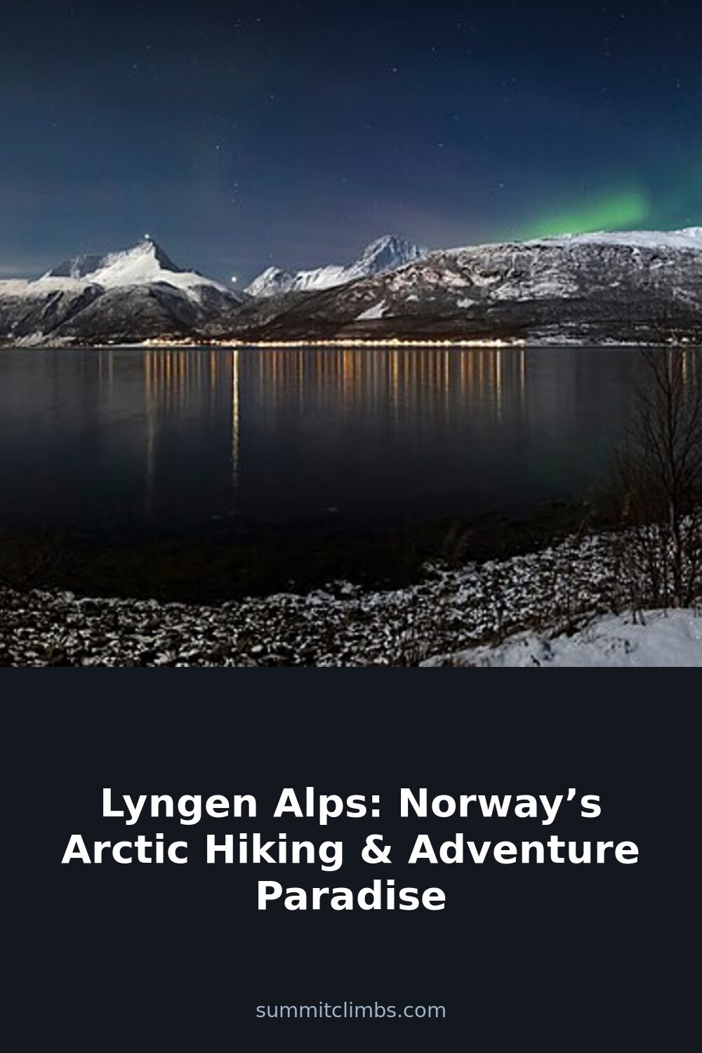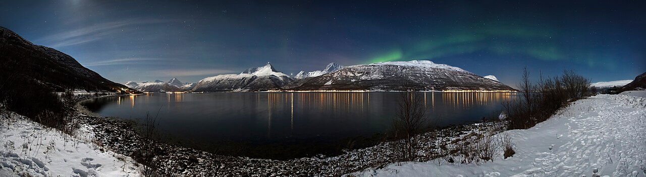
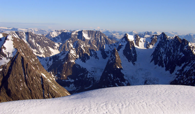
SummitClimbs Field Note: The Lyngen Alps sit above the Arctic Circle in Troms county, northern Norway. They are not a national park with visitor centers and groomed paths. They are a raw, glaciated spine of rock that runs roughly 90 kilometres along the Lyngen Peninsula, flanked by deep fjords on both sides. This is serious Arctic terrain—sharp ridges, 140 glaciers, and a summit, Jiehkkevárri, that tops out at 1,833 metres. If you come here expecting gentle Nordic rambles, you will be humbled. If you come prepared for alpine conditions in a remote setting, you will find some of the most honest mountain travel in Europe.
Why This Place Belongs on a Norway Mountain Plan
Most visitors to northern Norway stick to the Lofoten Islands or the area around Tromsø. The Lyngen Peninsula is different. It is quieter, harder to reach, and geologically distinct. The bedrock is ophiolitic gabbro—dark, dense, ancient ocean crust pushed up by tectonic collisions. This gives the peaks a jagged, fractured look and creates the kind of terrain that rewards careful route-finding. The fjords on either side—Lyngenfjorden to the east, Ullsfjorden to the west—were carved by Ice Age glaciers, and the remaining ice fields still shape the landscape today. For the mountain traveller who has done the standard Norway hikes and wants something that demands more attention, this is the next step.
The SummitClimbs Snapshot
- Location: Lyngen Peninsula, Troms county, northern Norway. About 1.5–2 hours east of Tromsø by car.
- Peak height: Jiehkkevárri, 1,833 m (6,014 ft). Highest in Troms.
- Glaciers: 140 named ice fields covering roughly 141 km². Major ones include Gamvikblåisen, Strupenbreen, Fornesbreen, and the Jiehkkevárri glacial complex.
- Best for: Experienced alpine hikers, ski tourers in spring, and mountaineers comfortable with glacier travel. Not a beginner destination.
- Crowds: Light to moderate. Far quieter than Lofoten or Jotunheimen.
- Season window: Hiking from late June to early September. Ski touring from March to May. Northern Lights season runs September through April.
Route Reality and Local Conditions
Let us be direct about what the trails here are like. Many paths are unmarked or poorly maintained. Cairns exist on some summits but cannot be relied upon. The most popular day objectives include Store Lenangstind (1,624 m) and Jiehkkevárri. Both require fitness, alpine experience, and the ability to navigate in mixed terrain—scree, snow patches, and exposed ridges. Glacier crossings on Jiehkkevárri demand rope skills and a guide unless you have verified current conditions and crevasse knowledge.
For a multi-day effort, the Lyngen Alps Traverse runs 3 to 5 days across the range. It is a true wilderness route: remote valleys, high passes, and glacier margins. You will need to carry all food and fuel, and you should expect to ford streams. There are no huts with staffed services along the way. Bivouac or tent camping is standard.
Easier options exist. The Kvalvik Valley and the Furuflaten loop offer lower-angle hiking with fjord views and less exposure. These are suitable for fit hikers who want a taste of the Arctic landscape without committing to technical ground. But even these trails can be boggy and faint in sections.
Access is straightforward if you have a car. The E8 runs the western side of the peninsula. A ferry from Breivikeidet to Svensby shortens the drive. Buses run from Tromsø to Lyngseidet but are infrequent. In summer, express boats connect Tromsø with Lyngseidet and coastal villages. Guided tours from Tromsø are available for hiking, skiing, and glacier walks. They are worth considering if you are unfamiliar with Arctic conditions or want to move efficiently without spending time on logistics.
What to Watch For
Weather
The Arctic climate is not forgiving. Even in July, temperatures at elevation can drop below freezing. Storms develop fast, and visibility can vanish in minutes. Check yr.no before every stage of a trip. Do not rely on a single morning forecast for a multi-day route.
Navigation
Mobile coverage is patchy. Trails are often unmarked. Carry a paper map and a compass, and know how to use them. A GPS device with downloaded topo data is a sensible backup, not a primary tool.
Glacier travel
Do not walk on any glacier without a guide unless you have verified crevasse-free routes and current conditions. Crevasses can be hidden by snow bridges that look solid but are not. Rope, crampons, ice axe, and crevasse rescue skills are mandatory.
Wildlife and culture
Reindeer are common. Arctic foxes and wolverines are present but rarely seen. Store food securely. The peninsula is home to Sámi and Kven communities. Respect reindeer herding areas and private land. Ask permission before crossing pastures.
Leave no trace
The Arctic ecosystem is slow to recover. Pack out everything, including organic waste where possible. Camp on durable surfaces. Avoid disturbing vegetation.
The SummitClimbs Take
The Lyngen Alps are not a place to tick off a list of summits quickly. They are a place to move carefully, read the terrain, and accept that conditions will dictate your plans more than your ambitions do. The rewards are real: quiet ridges, clean ice, fjord views that drop straight to the sea, and a sense of remoteness that is increasingly rare in European mountain ranges. If you have the skills and the patience, this is one of the finest Arctic hiking and ski touring destinations on the continent. If you are still building alpine experience, come with a guide, or choose the lower valley routes and study the mountains from a distance before committing to their ridges.
Keep the Trails Alive
Summit Climbs is free — no ads, no paywalls, no sponsored fluff.
Every guide is written from real experience to help your next adventure.
If it helped, a small support means the world and keeps the site running.