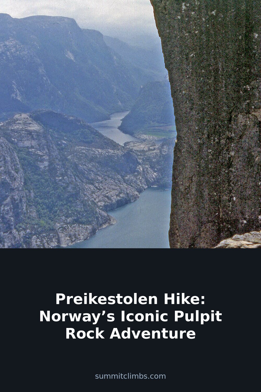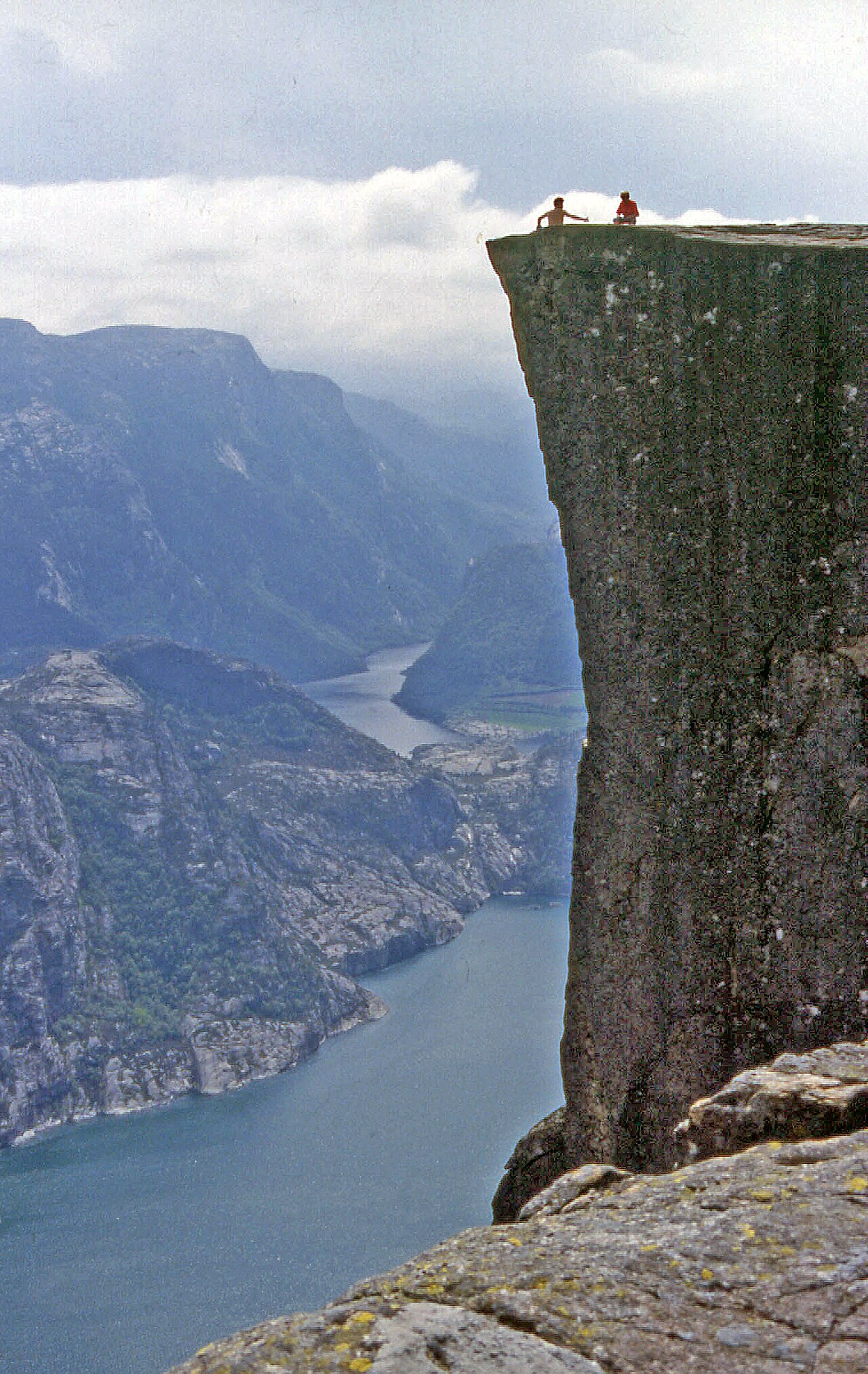
SummitClimbs Field Note: Preikestolen, the flat-topped cliff that hangs 604 metres over Lysefjorden, is one of those rare places where the reality matches the postcard. The hike is short and well-trodden, but don’t mistake popularity for ease. This is a serious day out on granite that demands respect for weather, footing, and crowds. If you’re building a Norway mountain itinerary, put this on the list—but plan it like a backcountry mission, not a sightseeing stop.
Why This Place Belongs on a Norway Mountain Plan
Preikestolen—Pulpit Rock in English—is the kind of landmark that defines a region. The cliff itself is a 25-by-25-metre plateau of Precambrian gneiss, sculpted by glacial ice and frost over millennia. It juts out over Lysefjorden in Rogaland county, offering a view that cuts straight to the core of what makes Norway’s landscapes so arresting: deep fjords, layered mountains, and a sense of wild exposure that’s hard to find elsewhere. Over 300,000 people hike this trail each year, and for good reason. It’s accessible enough for a fit beginner, yet dramatic enough to satisfy seasoned adventurers. But that accessibility comes with a catch—crowds, trail wear, and the need to manage your timing and expectations. At SummitClimbs, we see this as a classic example of a high-traffic route that still delivers if you approach it with the right mindset.
The SummitClimbs Snapshot
- Trail length: 3.8 km (2.4 mi) one way
- Elevation gain: ~350 m (1,150 ft)
- Round-trip time: 4 hours (2 up, 1.5–2 down)
- Difficulty: Moderate. Steep sections, rocky terrain, some scrambling. Not technical, but requires solid fitness and sure footing.
- Season: Year-round, but summer (June–August) is the reliable window for most hikers. Winter demands crampons, ice axe, and avalanche awareness.
- Best for: Hikers with moderate experience who want a rewarding, non-technical summit with world-class views. Not for beginners in wet or icy conditions.
Route Reality and Local Conditions
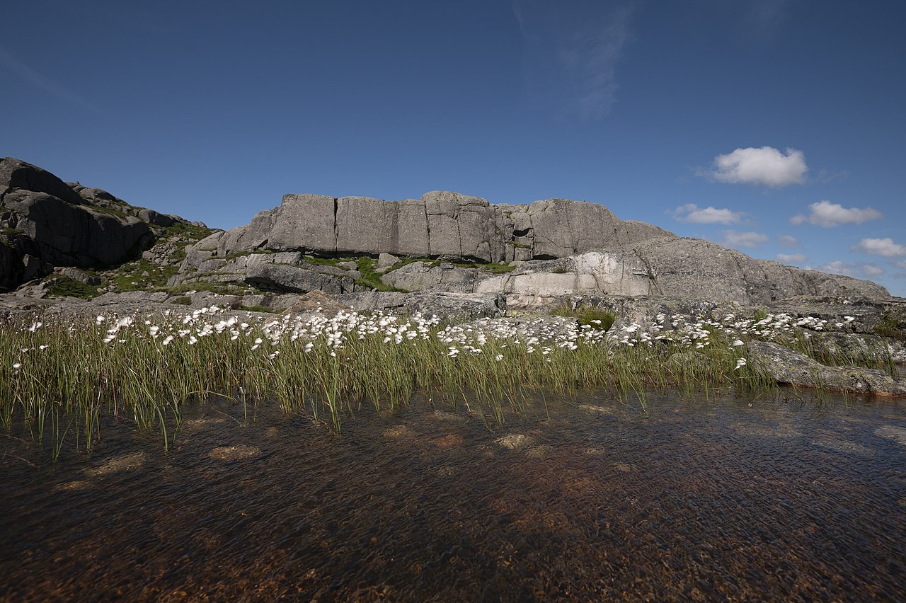
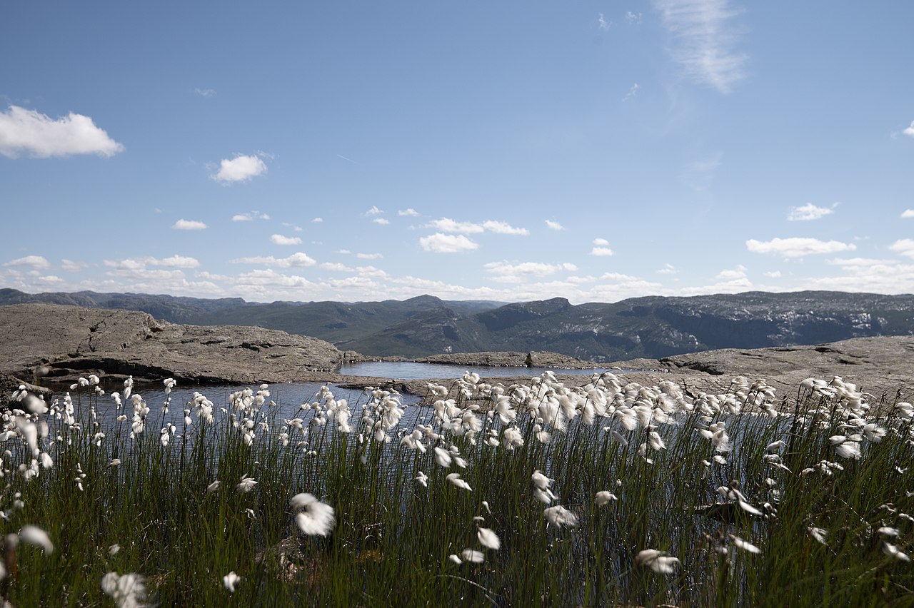
The trail starts at Preikestolen Fjellstue, the mountain lodge that serves as the base. From there, it climbs through birch forest and open rock slabs, with stone steps and chains installed by Nepalese Sherpas in 2013 to manage erosion and traffic. The path is well-marked with red T’s painted on rocks, but don’t let that lull you into complacency. The gradient is steady and unrelenting in places, and the rocky surface can be slick after rain or early-morning dew. Near the top, the trail flattens out across the plateau, where the exposure becomes real. The edges are unguarded, and the drop is sheer. Wind can be strong, especially in spring and autumn.
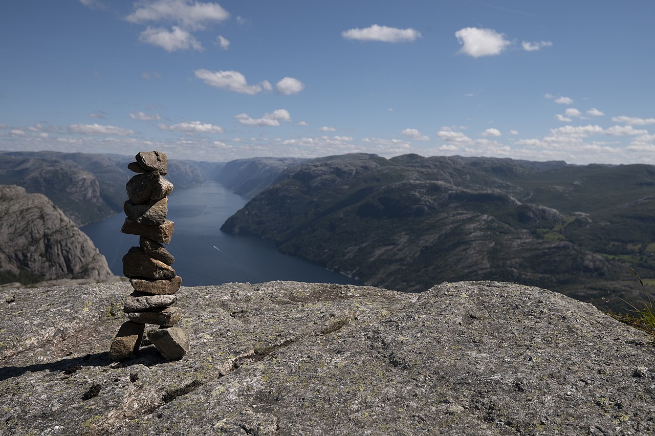
Crowds are the biggest variable. In peak summer, the trail can feel like a procession between 10 AM and 2 PM. Start early—6 to 7 AM—to have the summit mostly to yourself. Late afternoon is another window, but be prepared to descend in fading light during shorter days. Weekdays are quieter than weekends. Parking at the trailhead fills fast; if you’re driving, arrive before 8 AM or consider using the shuttle bus from Stavanger or Tau.
Weather in this part of Norway is famously fickle. A clear morning can turn to rain and wind by midday. Check the forecast from yr.no or the Norwegian Meteorological Institute before you set out, and pack for conditions that might shift from warm sun to cold drizzle within an hour. Layering is non-negotiable: a windproof shell, a warm mid-layer, and a moisture-wicking base. Sturdy hiking boots with ankle support are mandatory—sneakers or trail runners won’t cut it on wet rock.
What to Watch For
- Footing on the summit plateau: The flat rock is grippy when dry, but becomes treacherous with moisture. Stay at least two metres from the edge when taking photos or moving around.
- Water sources: There are none reliable on the trail. Carry at least 1.5–2 litres per person, plus electrolytes or snacks. A packed lunch is worth the weight—eating on the plateau is a highlight.
- Mobile coverage: Spotty along the trail and near the summit. Download offline maps (Maps.me or AllTrails) before you leave the trailhead. Let someone know your plan.
- Winter conditions: The trail is open but only for experienced winter hikers. Snow and ice can persist into May. Avalanche risk exists in the gullies above the treeline. If you’re not comfortable with crampons and ice axe, wait for summer.
- Leave No Trace: No bins on the trail. Pack out everything, including food scraps. Stay on the marked path to protect fragile alpine vegetation. Use the toilets at the trailhead before you start.
- Photography: Early morning or late afternoon light gives the best results. A wide-angle lens captures the full sweep of the cliff and fjord. A polarizing filter cuts glare on the water.
The SummitClimbs Take
Preikestolen is a classic for a reason. The hike is short enough to fit into a tight Norway itinerary, but the payoff is enormous—a flat granite stage suspended over one of Europe’s most dramatic fjords. The trail is well-maintained and non-technical, which makes it accessible, but that also means it’s busy. Our advice: treat it like a serious mountain outing, not a tourist attraction. Start early, pack for changing weather, and respect the exposure at the summit. If you do that, Preikestolen will deliver a memory that lasts well beyond the descent. For the broader Rogaland region, consider pairing it with the Kjeragbolten hike or a Lysefjorden cruise to round out your mountain travel. But for a single, iconic day on the rock, this is the one.
Keep the Trails Alive
Summit Climbs is free — no ads, no paywalls, no sponsored fluff.
Every guide is written from real experience to help your next adventure.
If it helped, a small support means the world and keeps the site running.