
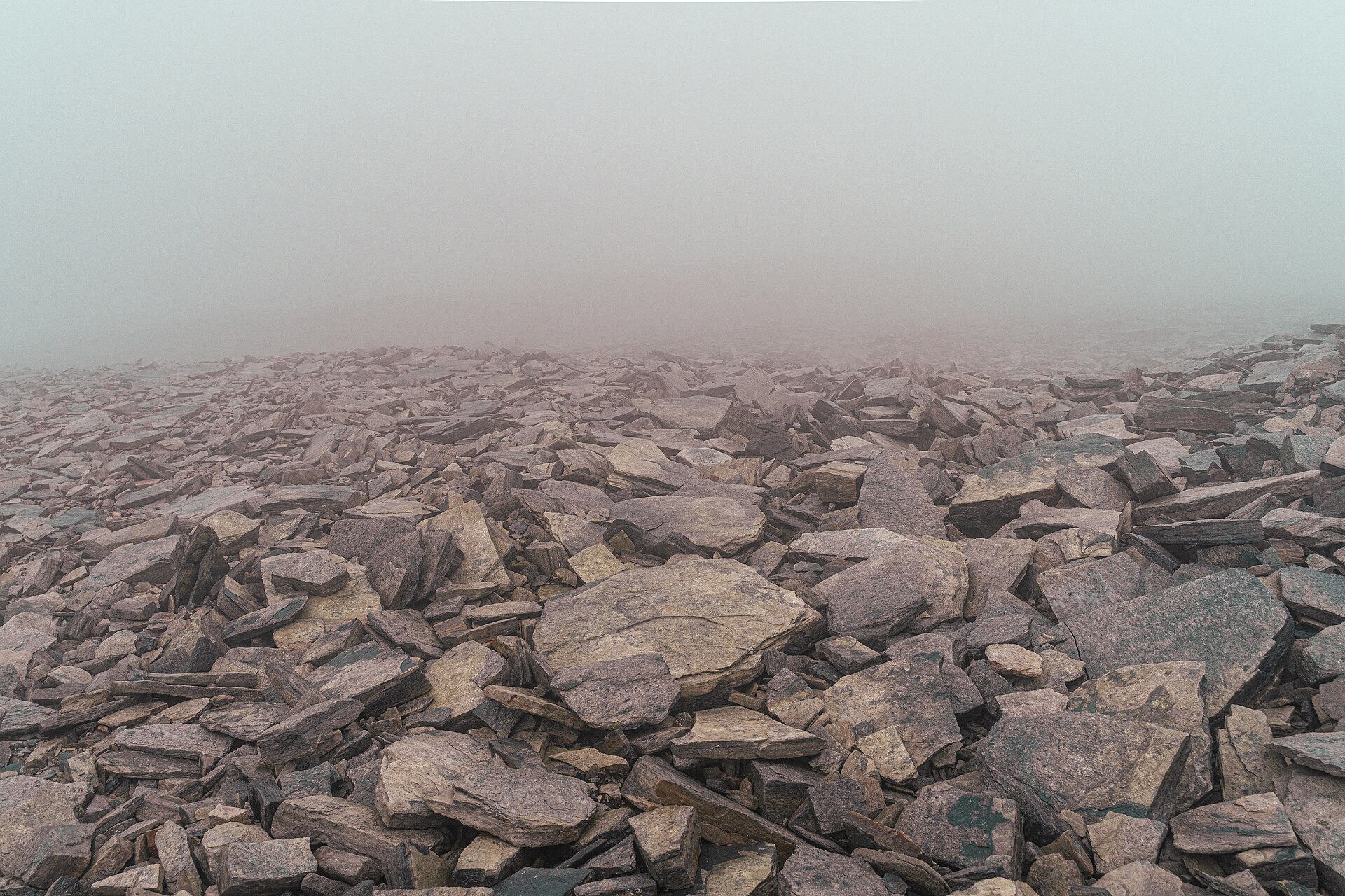
SummitClimbs Field Note: Høgronden (about 2,114–2,118 m) is one of the ten summits over 2,000 m in Rondane and the highest of its northeastern group, in Folldal, Innlandet. It is not Rondane’s highest peak; that is Rondeslottet (2,178 m). It is one of the Rondane summits you can reach fairly easily on a day trip: from the Bjørnhollia hut the round trip is about 19.3 km, around 7–8 hours with about 1,400 m of ascent, on marked paths with no narrow ridges, but with a lot of boulders and scree.
The Northeastern Giant of Rondane
Rondane has three distinct mountain groups, all with summits over 2,000 m. In the east is Rondvasshøgde with Storronden and Rondslottet, the highest of all at 2,178 m. In the west is Smiubelgin, with Veslesmeden, Storsmeden and Trolltinden. And in the northeast, separated from Rondslottet by the deep Langglupdalen valley, are Høgronden, Midtronden and Digerronden. Høgronden lies inside Rondane National Park, with County Road 27 passing to the east.
The name joins høg, high, and rond, probably the original name of the lake Rondvatnet, from Old Norse rǫnd, a stripe or edge, after the lake’s long, narrow shape. Many of the surrounding mountains were named after the lake.
Høgronden at a Glance
- Height: about 2,114–2,118 m (sources differ)
- Location: Folldal, Innlandet; northeastern Rondane, Rondane National Park
- Start: Bjørnhollia (staffed DNT hut); also reachable from Dørålseter
- Distance: about 19.3 km out and back from Bjørnhollia
- Time: about 7–8 hours, plus breaks
- Ascent: about 1,382–1,476 m
- Grade: demanding; long and steep, lots of scree; no exposed ridges
- Season: June to September
The Route From Bjørnhollia
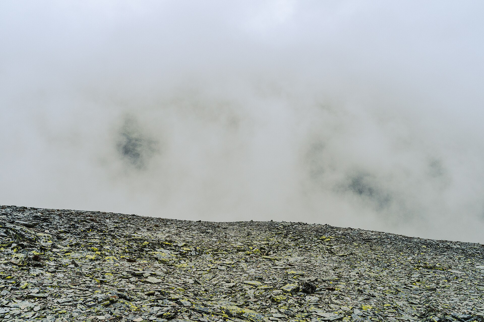
The trip starts at the cosy staffed hut Bjørnhollia in green, beautiful surroundings. Follow the route towards Dørålseter into Langglupdalen. It crosses a small river, Langglupbekken, near a lovely waterfall, an ideal first rest stop. Then you climb towards Høgronden and the ground changes: in summer, be ready for a lot of stone and scree; it can almost seem as if the whole mountain is made of loose boulders, though it is solid rock underneath. The view keeps getting better as you climb, so remember to look back.
Return the same way to Bjørnhollia, about 7–8 hours in total. Or descend the other side of the summit and follow the route to Dørålseter, which takes at least 9 hours from Bjørnhollia, plus breaks. The route has big height differences and is exposed in bad weather and strong wind. A good tip is to stay at Bjørnhollia for a few days and do some shorter walks first. For a simple ascent, Norwegian sources also mention a tent camp by Langglupbekken southeast of the summit as the easiest starting point.
Respect the Wild Reindeer
Rondane is wild reindeer country, with one of the few original wild herds in Europe. The animals are vulnerable to disturbance, especially around calving from 15 April to 15 June, and they tend to avoid areas where hiker traffic gets too heavy; a busy path can even become a barrier they will not cross. Follow the paths, and if you see reindeer, stop and move quietly away.
The SummitClimbs Take
Høgronden is the big, honest summit of northeastern Rondane: a long scree climb from Bjørnhollia to one of the area’s finest views, without exposure. Stay a few nights at Bjørnhollia, warm up on shorter walks, and give the reindeer room.
Route facts from the UT.no route to Høgronden from Bjørnhollia; other facts from Wikipedia and Norwegian Wikipedia (Høgronden).
Keep the Trails Alive
Summit Climbs is free — no ads, no paywalls, no sponsored fluff.
Every guide is written from real experience to help your next adventure.
If it helped, a small support means the world and keeps the site running.