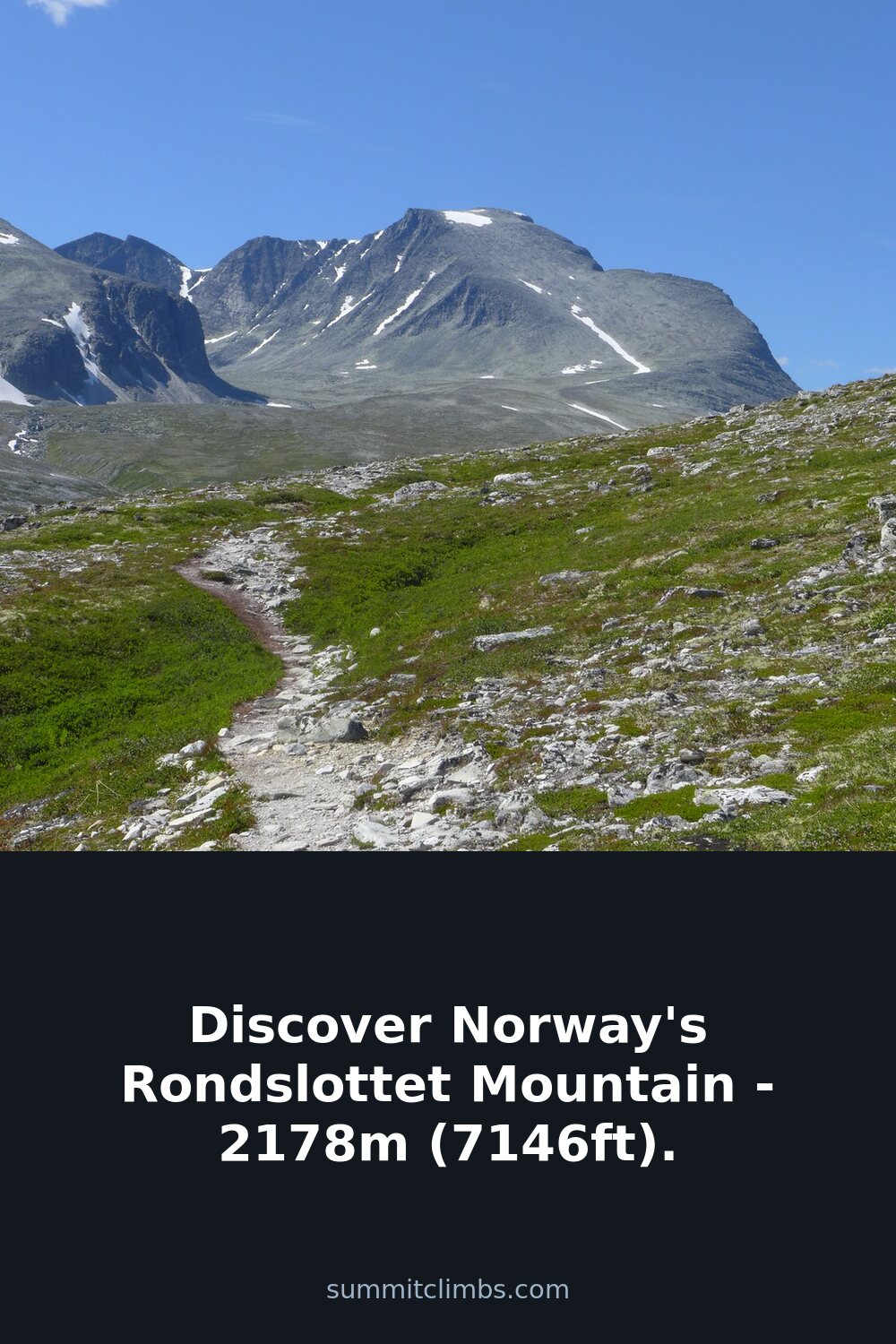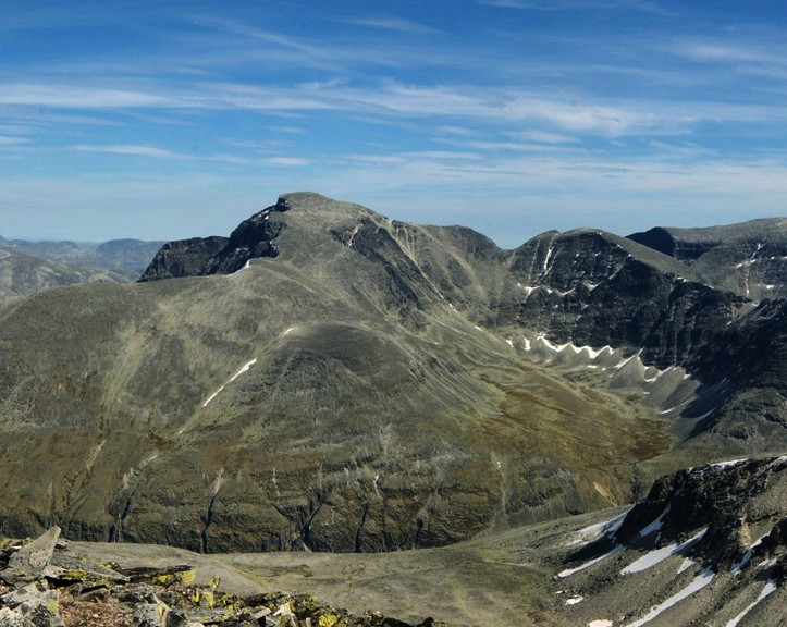
SummitClimbs Field Note: Rondslottet is the high point of the Rondane range, standing at 2,178m (7,146ft) on the border between Dovre and Folldal municipalities, just north of Sel. This is a serious day in the mountains—not a warm-up walk. The name breaks down from the Old Norse rǫnd (“strip” or “edge,” describing the long, narrow shape of nearby Rondvatnet lake) plus slott (“palace”). It’s the reigning peak of Rondane National Park, and the summit views justify the effort, but the approach demands strong legs, solid route-reading, and a calm head on loose terrain.
Why This Place Belongs on a Norway Mountain Plan
If you’re building a Norway itinerary that includes genuine alpine walking—not just photo stops—Rondslottet earns its place. It’s the tallest in a compact, well-defined range, so the payoff is a 360-degree perspective over Rondane’s rounded summits and deep glacial valleys. The route follows a logical spine of ridges and connects several subsidiary tops, making it a proper mountain day rather than a single peak bag. The national park setting means well-marked trails and hut access, but the ground underfoot is wild enough to keep you honest. This is a peak for hikers who already know their limits and want to test them on Norwegian terrain without committing to full-on scrambling or glacier travel.
The SummitClimbs Snapshot
- Height: 2,178m (7,146ft)
- Location: Rondane National Park, on the Dovre/Folldal border
- Starting point: Rondvassbu hut
- Round-trip time: Approximately 7 hours
- Route type: Marked path with ridge travel, steep sections, and loose stone
- Best suited for: Experienced mountain hikers with good fitness and sure footing
- Not for: First-time mountain walkers or anyone uncomfortable with exposure on uneven ground
Route Reality and Local Conditions
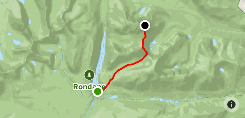
The standard approach begins at Rondvassbu, following the marked trail toward Rondholet. This first section is straightforward—well-trodden and gradual—but don’t let the easy start lull you. At Rondholet, you’ll pick up the path heading toward Storronden. The critical turn comes at the col between Rondholet and Storbotn, in the inner part of Rondholet. Here the trail swings north and climbs a ridge leading to Vinjeronden (2,044m). This is where the day changes character. The ridge is steep, and the surface is a mix of loose stones that shift underfoot. You’ll need to place each step deliberately, especially on the ascent. Poles help, but don’t rely on them for security on the loosest sections—your feet and hands are the primary tools here.
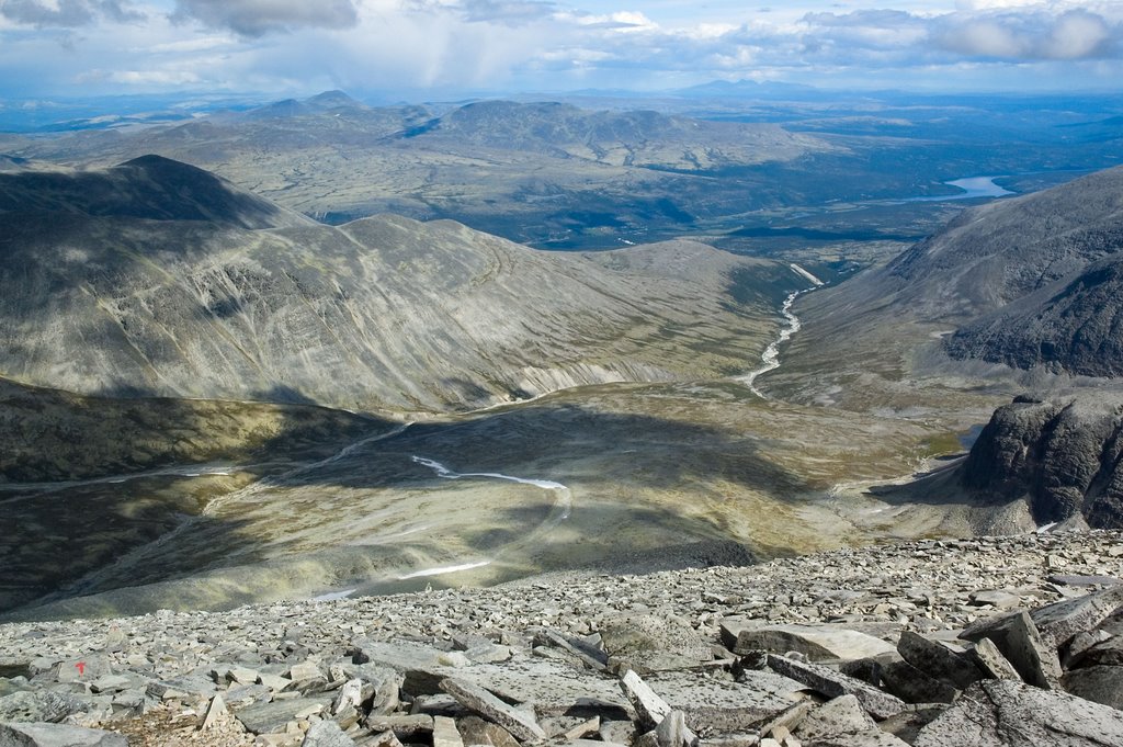
Once you gain Vinjeronden, the route drops steeply into a gorge before climbing again. From the gorge, you traverse between the edges of Storbotn and Styggebotn, aiming for the final ridge to Rondslottet. The slope itself is walkable—the gradient is not punishing—but the edges demand respect. Loose stones are a constant companion on this entire section. A misplaced foot can send a cascade of rock down the slope, and on the exposed edges, a slip could have serious consequences. The summit itself is a broad, rocky platform. The view opens up over the entire Rondane massif, with lakes, valleys, and distant peaks in every direction. On a clear day, you can see well beyond the park boundaries.
Return is by the same route. The descent requires equal care: the loose stone that was annoying on the way up becomes treacherous when tired legs are braking downhill. Budget the full seven hours, and add time for rests, photo stops, and weather checks. If conditions are wet or windy, the ridge sections become significantly more demanding. Plan for an early start to avoid afternoon thunderstorms, which can build quickly in this terrain.
What to Watch For
- Loose stone on ridges: The section from Rondholet to Vinjeronden and the traverse to Rondslottet both have significant amounts of unstable rock. Test each foothold before committing weight. Avoid kicking stones onto hikers below.
- Exposure on the edges: The traverse between Storbotn and Styggebotn runs along a narrow ridge with steep drop-offs. The path is clear, but the margin for error is small. If you’re uncomfortable with exposure, reconsider this route.
- Weather shifts: Rondane is exposed. Clear skies can turn to low cloud, rain, or wind within an hour. Carry full waterproofs, a warm layer, and a map/compass even on fine days. Navigation is straightforward in good visibility, but cloud can obscure the trail markers.
- Fitness demands: The cumulative ascent over Vinjeronden and the gorge sections adds up. Seven hours of continuous movement on rough terrain requires solid endurance. If your typical day is a 4-hour valley walk, this is a significant step up in difficulty.
- Hut access: Rondvassbu is a staffed DNT hut with accommodation and meals. Book ahead in peak season. It’s a good base for a pre-dawn start or an overnight after the hike.
The SummitClimbs Take
Rondslottet is a classic Norwegian mountain day: long, exposed, and technically straightforward but physically demanding. It rewards strong walkers with a genuine summit experience in a national park that sees plenty of visitors but few who push this far. The route is well-marked and the terrain is forgiving in sections, but the loose stone and exposed edges are not to be underestimated. This is not a peak to tackle on a whim or with an underprepared group. If you’ve got the legs, the head for heights, and the patience for rocky ground, it’s one of the best days out in Rondane. If you’re still building your mountain confidence, pick a lower, less committing summit first. Rondslottet will still be here when you’re ready.
Keep the Trails Alive
Summit Climbs is free — no ads, no paywalls, no sponsored fluff.
Every guide is written from real experience to help your next adventure.
If it helped, a small support means the world and keeps the site running.