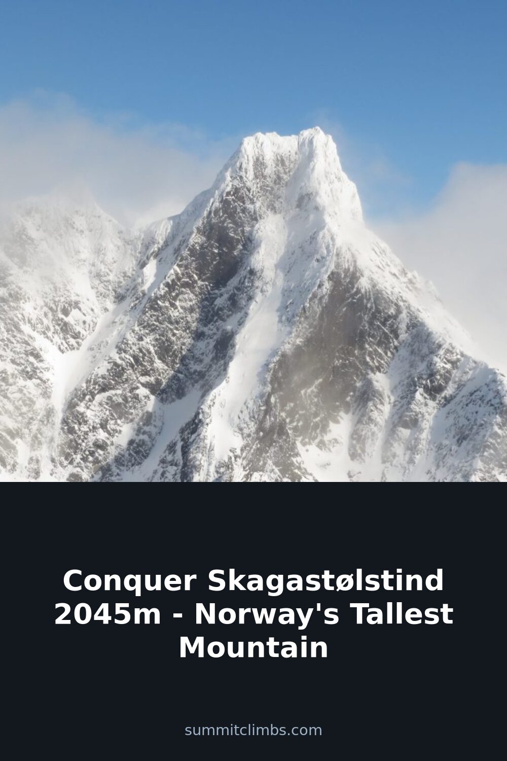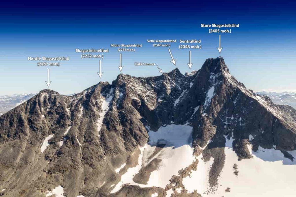
SummitClimbs Field Note: Storen—officially Store Skagastølstind—is not Norway’s tallest summit, but it is the most demanding of the country’s top three. At 2,405 meters, it stands third behind Galdhøpiggen and Glittertind, yet it is the only one of those three that requires climbing equipment and genuine route-finding. This is a peak for mountaineers, not hikers. Plan accordingly.
Why This Place Belongs on a Norway Mountain Plan
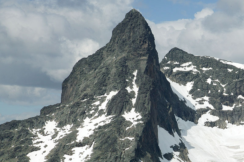
Storen sits in the Hurrungane massif, southwest of Jotunheimen National Park, and forms the southernmost point of the Skagastølstindane ridge. The mountain is the highest in Western Norway and its rocky, alpine character contrasts sharply with the glacier-draped giants farther east. From the old road over Sognefjellet, Storen’s sharp profile is unmistakable—a fact that drew early travelers and surveyors in the 1820s, who wondered if it might be Norway’s highest peak. That notion ended in 1842, when Theodor Broch and Harald Nikolaj Storm Wergeland measured the summit and found Galdhøpiggen taller. But Storen’s reputation as an unclimbable fortress persisted for another three decades.
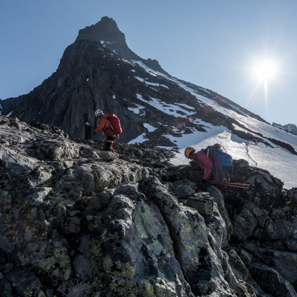
For anyone building a Norway mountain plan, Storen offers a genuine alpine challenge without requiring expedition-level commitment. It is the easiest of Norway’s top three to reach the summit of—but that statement only makes sense if you have prior climbing experience. The mountain is not a walk-up. It demands rope, crampons, and comfort with exposed rock and ice.
The SummitClimbs Snapshot
- Elevation: 2,405 m (7,890 ft)
- Location: Luster and Årdal municipalities, Vestland county; Hurrungane region, southwest Jotunheimen
- Rank: Third-highest mountain in Norway; highest in Western Norway
- First ascent: William Cecil Slingsby, solo, 21 July 1876
- Standard route: Heftye route (moderate rock and ice climb)
- Season: Late June to early September; conditions vary sharply year to year
- Equipment required: Climbing harness, helmet, ice axe, crampons, rope, and glacier travel skills
- Who it suits: Experienced mountaineers comfortable with exposed scrambling and snow/ice sections; not for first-time climbers or strong hikers without technical training
Route Reality and Local Conditions
Two main routes define Storen’s climbing history. The first, pioneered by Slingsby in 1876, follows the line up from the glacier now called Slingsbybreen, through the gap between Storen and Vetle Skagastølstind (Mohns skar). That ascent was a landmark: Slingsby, an English climber, reached the summit alone after his Norwegian companions—Emanuel Mohn and guide Knut Lykken—turned back, exhausted from previous days’ ascents. The route involves steep ice and rock, and remains a serious objective for those seeking historical ground.
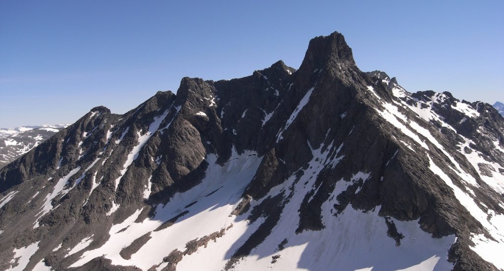
The more common route today is the Heftye route, found in 1880 by Johannes Heftye, Jens Klingenberg, and Peder Melheim. Heftye had publicly argued with Slingsby about relative difficulties of Norwegian peaks, and set out to prove Storen was not as hard as claimed. He succeeded, but the route he found is still a proper climb. It gains the summit via the southwest ridge, with sections of exposed scrambling on sound rock and occasional snow patches that can linger late into summer.
Conditions change fast. The approach crosses the Slingsbybreen glacier, which requires crevasse awareness. In a warm summer, the snowline retreats early, exposing loose rock on the lower sections. In a cool, wet season, the upper mountain can hold hard ice into August. Check recent trip reports from the Norwegian Trekking Association (DNT) huts at Skogadalsbøen or Fannaråki before committing. The summit ridge is narrow and airy; in wind or poor visibility, turn around without hesitation.
Access is from the Sognefjellet road (RV 55). The most common starting point is the Turtagrø area, with a marked trail toward Skagastølsbu. From there, the route becomes less defined. Expect a full day: six to ten hours round trip from the hut, depending on fitness, conditions, and party size.
What to Watch For
- Rockfall hazard: The Heftye route passes beneath loose sections. Climb early in the day before the sun warms the face, and keep helmets on. Move efficiently; lingering increases risk.
- Glacier travel: Slingsbybreen is not heavily crevassed by Norwegian standards, but it is a real glacier. Rope up. Know how to self-arrest and perform a crevasse rescue. Do not treat it as a walk across snow.
- Weather windows: Jotunheimen weather can deteriorate in minutes. A clear morning can become a whiteout by noon. Have a turnaround time and stick to it. The summit is not worth a night out.
- Route-finding: The Heftye route is not marked above the glacier. Cairns exist but are sparse. Study the line from below and carry a GPS with a downloaded track. Phone coverage is unreliable.
- Crowds: Storen is popular by Norwegian alpine standards. On a fine July weekend, expect other parties on the route. Practice efficient rope management to avoid bottlenecks at crux moves.
- Descent discipline: The descent follows the same line. It is easy to overshoot the glacier exit in poor visibility. Keep the party together and check bearing frequently.
The SummitClimbs Take
Storen is a genuine mountaineering objective in a country where most high peaks are glacier walks or steep snow plods. It rewards preparation, respect for conditions, and a willingness to turn back. The historical weight of the first ascent—Slingsby alone on the summit in 1876, after years of failed attempts—adds a layer that few Norwegian mountains can match.
Do not come here to tick a box. Come because you want to move through alpine terrain with purpose, test your technical skills on rock and ice, and stand on a summit that demands more than altitude alone. The views from the top stretch across Jotunheimen’s wildest ridges, and the descent leaves you tired, satisfied, and already thinking about which line to try next.
This is not a mountain for everyone. For those it suits, it is unforgettable.
Keep the Trails Alive
Summit Climbs is free — no ads, no paywalls, no sponsored fluff.
Every guide is written from real experience to help your next adventure.
If it helped, a small support means the world and keeps the site running.