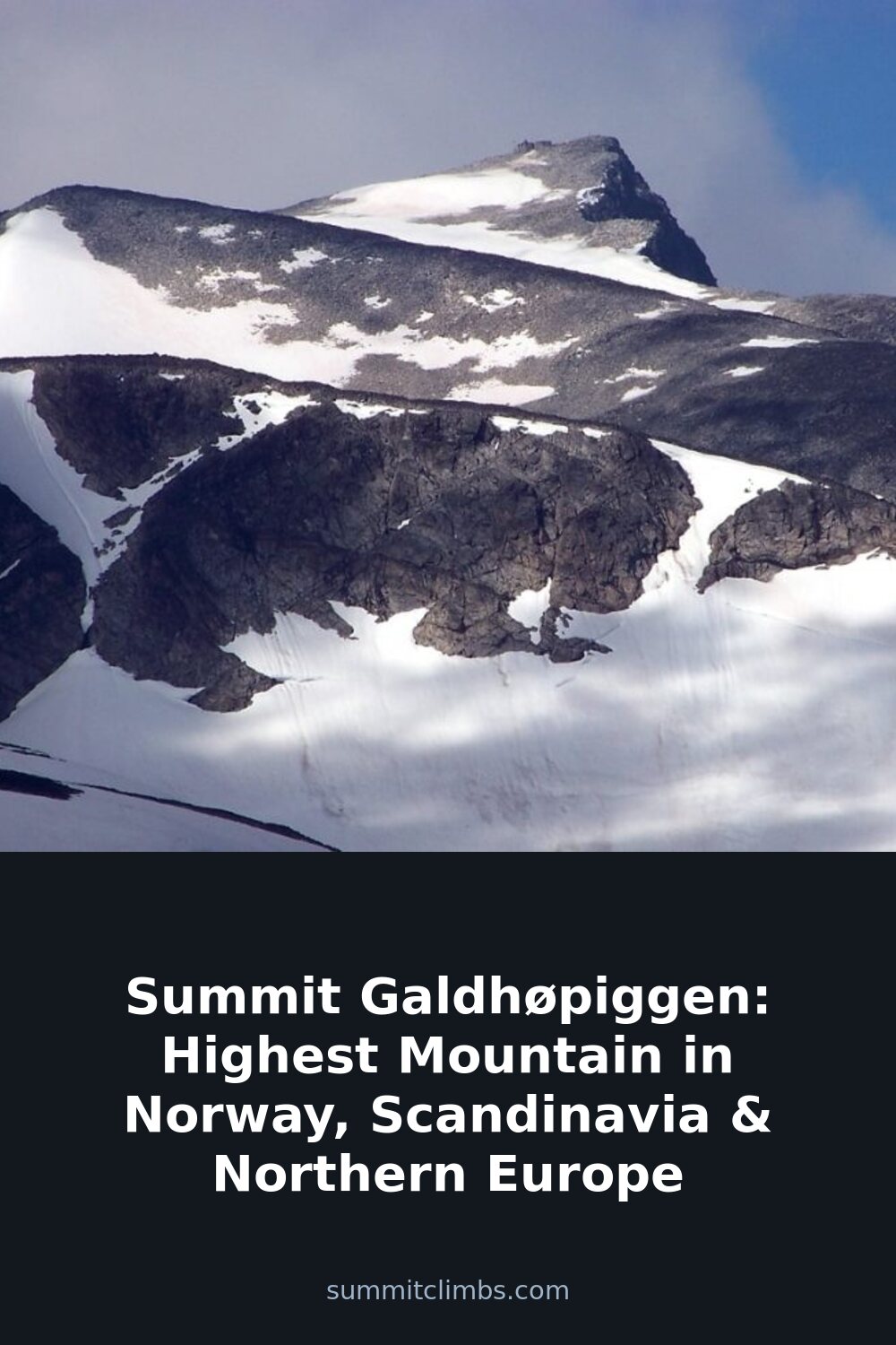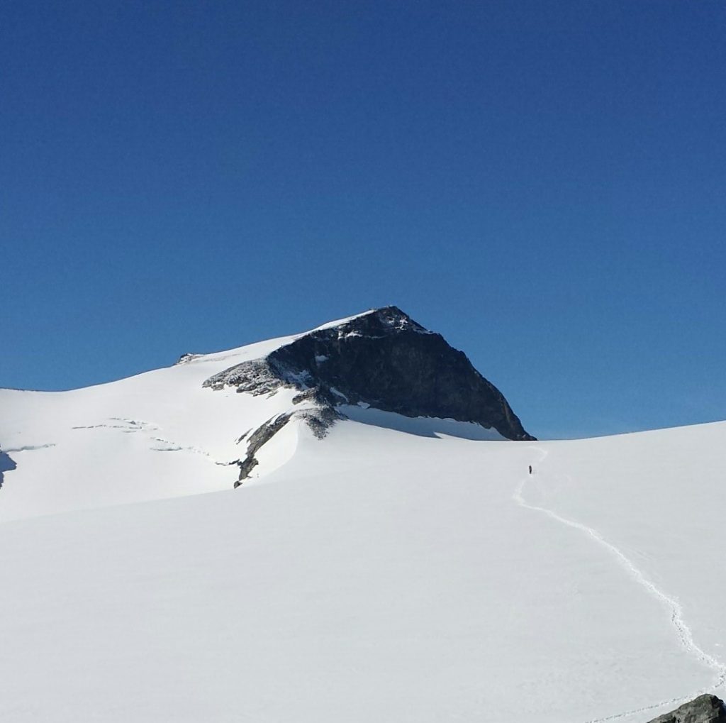
SummitClimbs Field Note: Galdhøpiggen is the highest point in Norway, Scandinavia, and all of Northern Europe. At 2,469 meters (8,100 feet), it sits in the Jotunheimen range, inside Lom municipality. The summit is made of gabbro—a hard, coarse rock typical of this range—and was heavily shaped by ice age glaciation. For decades, geologists mistakenly believed the more visible Snøhetta in Dovrefjell was Norway’s highest peak. It wasn’t until 1850 that three men from Lom—guide Steinar Sulheim, teacher Lars Arnesen, and church warden Ingebrigt Floten—made the first recorded ascent. Today, the mountain sees hundreds of summiteers on clear summer days. The climb itself is not technically extreme, but route choice, glacier crossings, and weather dictate whether it’s a straightforward day or a serious outing.
Why This Place Belongs on a Norway Mountain Plan
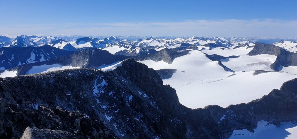
Galdhøpiggen is the definitive Nordic summit. If you’re building a Norway mountain itinerary, this is the logical anchor—not because it’s the hardest, but because it’s the highest. The mountain offers two main approaches, each with a different character. From Juvasshytta, you cross the Styggebreen glacier, which requires a guide and a bit of preparation. From Spiterstulen, the route is glacier-free but longer, with 1,300 meters of elevation gain. Both are well-trodden and manageable for fit hikers. The mountain also hosts a summer ski center at Juvasshytta, with a lift reaching 2,200 meters—the highest in Scandinavia. This isn’t a place for solitude, but for a legitimate high-point experience with solid infrastructure and clear logistics.
The SummitClimbs Snapshot
- Elevation: 2,469 m (8,100 ft)
- Location: Jotunheimen range, Lom municipality, Norway
- First recorded ascent: 1850 by Steinar Sulheim, Lars Arnesen, and Ingebrigt Floten
- Main routes: From Juvasshytta (glacier crossing, ~5 km, 3 hours up, 2 hours down) or from Spiterstulen (no glacier, 1,300 m gain, ~4 hours up, 2 hours down)
- Season: Late June to September, depending on snow and road access
- Difficulty: Moderate. Glacier route requires a guide; the Spiterstulen route is a strenuous hike on solid terrain
- Crowds: Heavy in July and August on clear days
- Summit amenities: Small cabin selling drinks, snacks, postcards, and souvenirs—formerly home to the highest post office in Northern Europe
Route Reality and Local Conditions
The Juvasshytta route is the most popular. You start at 1,850 meters and cover 5 kilometers to the summit. About 45 minutes of that is dedicated to preparing for the Styggebreen glacier crossing—roping up, putting on crampons, and following a guide. The glacier is crevassed but well-managed by local operators. Guides are easy to find in season, and the guided groups move efficiently. The descent takes roughly two hours.
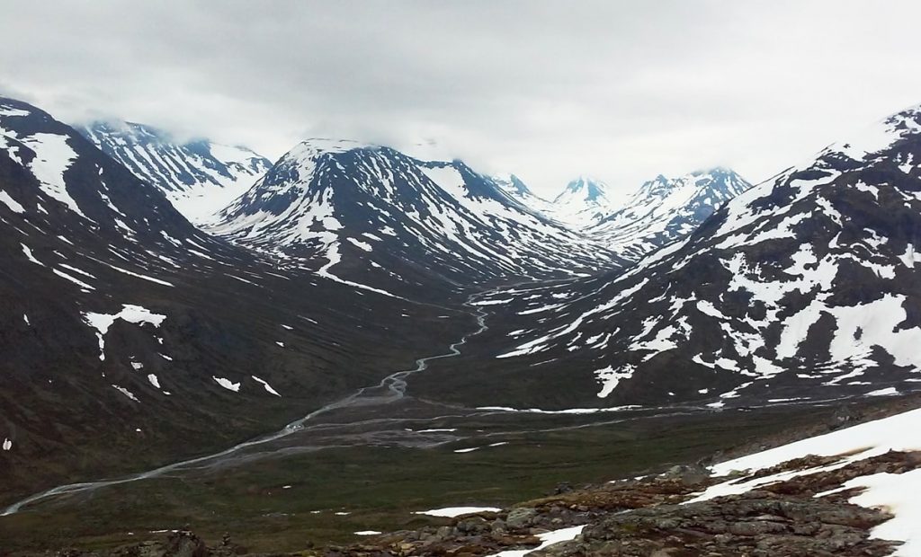
The Spiterstulen route starts lower, in Visdalen, and climbs 1,300 meters over a longer approach. No glacier crossing is required, so no guide is needed. The trail is clear and well-used. Along the way, you can bag three peaks: Svellnose, Keilhaus topp (2,355 m, named after early explorer Baltazar Mathias Keilhau), and finally Galdhøpiggen. In high season, guided tours also run from Spiterstulen via the blue Svellnosbreen icefall—a more scenic but still manageable alternative.

Weather is the real variable. Galdhøpiggen is the coldest mountain in Norway and all of Northern Europe. Conditions can shift from calm to dangerous within an hour. Even in midsummer, expect wind, cold, and the possibility of snow at the summit. Road access to Juvasshytta and Spiterstulen is seasonal, typically opening in June and closing by late September. Check local road status before you go.
What to Watch For
Glacier Safety
If you take the Juvasshytta route, you must cross Styggebreen. Do not attempt this without a guide and proper equipment. The glacier is active and crevassed. Guided groups provide ropes, crampons, and instruction, but you still need to be alert and follow instructions precisely.
Altitude and Fitness
At 2,469 meters, altitude is not a major concern for most fit hikers, but the combination of elevation gain, cold, and wind can wear you down. The Spiterstulen route involves a sustained 1,300-meter climb. Be honest about your stamina and conditioning.
Crowds
On a sunny July or August weekend, the summit can feel like a queue. Hundreds of people make the climb each day. Start early to avoid the worst of the traffic and to give yourself a weather buffer.
Summit Amenities
The small cabin at the top sells drinks, chocolate bars, postcards, and souvenirs. It’s basic but welcome after the climb. It used to house the highest post office in Northern Europe—a quirky detail worth noting if you’re into mountain trivia.
Glittertind Rivalry
For years, Galdhøpiggen’s status as Norway’s highest was disputed by nearby Glittertind, which measured slightly higher when its glacier was included. That glacier has since shrunk, and Glittertind now stands at 2,464 meters including ice. The debate is settled, but the history adds context if you’re comparing peaks in the region.
The SummitClimbs Take
Galdhøpiggen is a straightforward high-point objective with two solid route options. It’s not a wilderness experience—you’ll share the trail with many others in season—but it’s a legitimate achievement with clear logistics and reliable infrastructure. The glacier route demands respect and a guide; the Spiterstulen route demands fitness. Either way, you’re standing on the roof of Northern Europe. Plan for cold, start early, and treat the weather with caution. For most fit hikers, this is a rewarding day in the mountains—not a battle, but not a walk in the park either. SummitClimbs rates it as a must-do for any Norway mountain itinerary, with the caveat that you come prepared for the conditions, not just the altitude.
Keep the Trails Alive
Summit Climbs is free — no ads, no paywalls, no sponsored fluff.
Every guide is written from real experience to help your next adventure.
If it helped, a small support means the world and keeps the site running.