
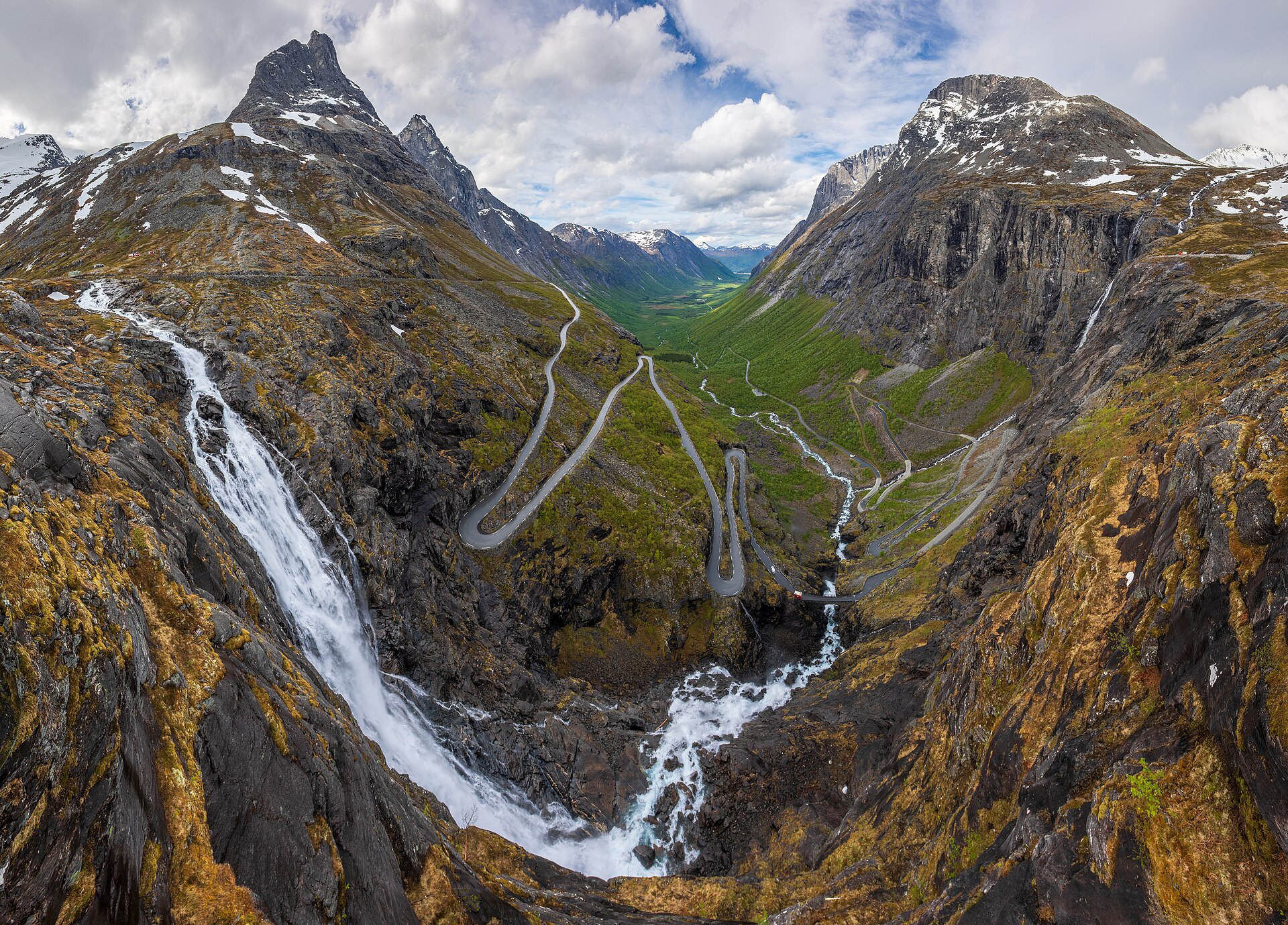
SummitClimbs Field Note: Kongen (“the King”) is a 1,614 m mountain on the west side of Isterdalen in Rauma, Møre og Romsdal, standing between Bispen (“the Bishop”) to the south and Dronninga (“the Queen”) to the north, high above the hairpins of Trollstigen. Most routes to the top need climbing, but the normal route up the southwest side can be done without traditional rock climbing. It starts at the top of Trollstigen and takes 2.5–4 hours to the summit. The ground near the top is demanding and quite exposed, so go with someone who knows the way.
The King Above Trollstigen
Kongen, Bispen and Dronninga form a royal row of peaks along the west side of Isterdalen, the valley that the Trollstigen road climbs out of on its way from Åndalsnes and Romsdalen to Valldal. The road itself is one of Norway’s most visited attractions: eleven hairpin bends climb from the inner end of Isterdalen to Stigrøra, and the highest point of the pass, Alnesreset, lies at 850 m. Its neighbour Bispen is 1,462 m.
Kongen at a Glance
- Height: 1,614 m
- Location: west side of Isterdalen, Rauma, Møre og Romsdal
- Neighbours: Bispen (1,462 m) to the south, Dronninga to the north
- Start: the top of Trollstigen, along the road towards Valldal
- Time: 2.5–4 hours to the summit
- Grade: scrambling; demanding and exposed below the top
- Access: the Trollstigen road (county road 63) is closed in winter, usually open from late May until the snow falls in autumn
The Normal Route
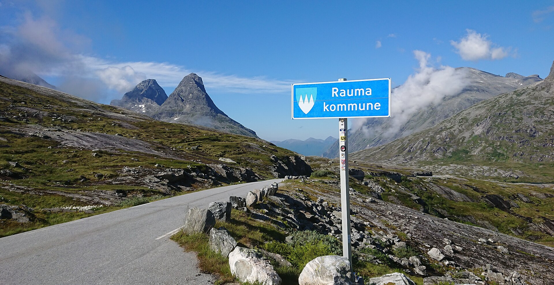
Norwegian Wikipedia describes the normal route up the southwest side. Start from the top of Trollstigen, along the road towards Valldal. After the bridge, the path follows the north side of the river for a while, then climbs steeply up the slope on the west side of Bispen and Bispevatnet before turning up to the saddle (bandet) between Kongen and Bispen. From there it is a scramble upwards, and below the summit the terrain becomes demanding and quite exposed. If you do not know the path, take someone who does.
The same approach to the saddle is used for Bispen’s north ridge, which is steep and airy but can be climbed without traditional rock climbing. It takes the same 2.5–4 hours and is one of the “easiest” of the well-known Romsdal peaks, so expect other hikers on that side.
Before You Go
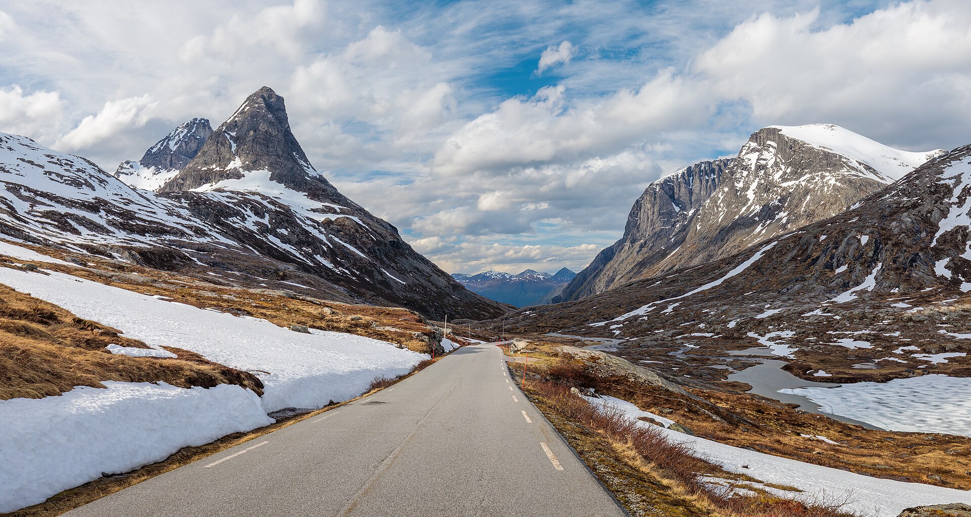
- Check the road: Trollstigen is closed in winter and has had long closures for rockfall danger (from mid-June 2024 until 11 July 2025). Check whether county road 63 is open before you travel.
- Go with someone who knows the route: Norwegian Wikipedia advises bringing someone local if you do not know the path, and the top section is exposed.
- Weather: check the mountain forecast on yr.no, and turn back in fog or rain on the exposed upper section.
The SummitClimbs Take
Kongen is the crown of the Trollstigen peaks: a short but serious scramble from the top of one of Norway’s most famous roads to a 1,614 m summit above Isterdalen. Go on a dry day, with someone who knows the line. For another classic Romsdal day, see our Romsdalseggen guide.
Facts from Norwegian Wikipedia (Kongen), Bispen and Trollstigvegen. Always check current conditions before you go.