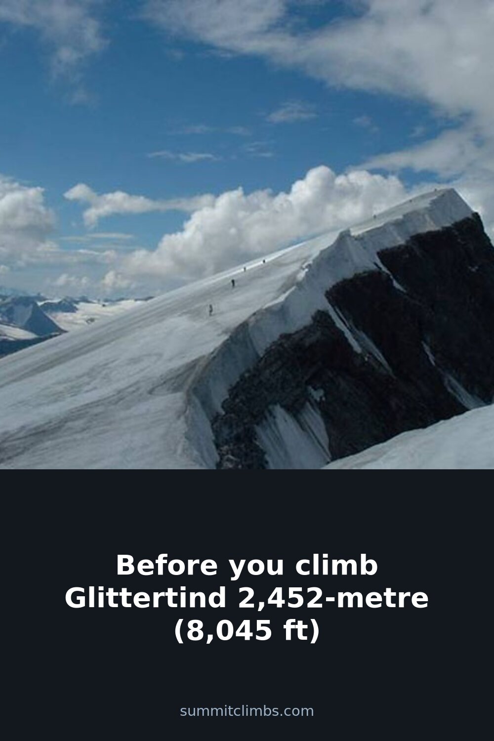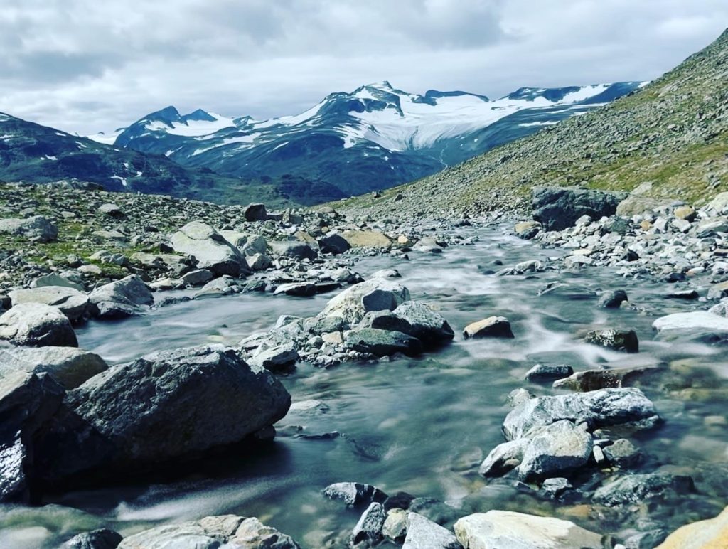
SummitClimbs Field Note: Glittertind is the kind of mountain that demands respect without needing to posture. At 2,452 metres (8,045 ft), it is Norway’s second-highest summit—a serious, glacier-hugged peak that sits squarely in Jotunheimen National Park. It is not a walk-up. But for anyone who has put in the work on other Scandinavian high routes, it is a logical and rewarding next step. The key is to treat it as a mountain, not a bucket-list tick.
Why This Place Belongs on a Norway Mountain Plan
Glittertind is often overshadowed by Galdhøpiggen, the tallest peak in Norway, which sits just a few kilometres to the southwest. But that is a mistake. Glittertind offers a longer, more varied ascent, and its summit ridge holds snow well into summer. The views across the Jotunheimen massif—over Lake Gjende, the Besseggen ridge, and the wild eastern valleys—are among the best in the country. If you are building a Norway mountain itinerary that values solitude and genuine alpine character over the crowds of the highest peak, this is where you go.
The SummitClimbs Snapshot
- Location: Jotunheimen National Park, about 350 km northwest of Oslo
- Access: Train to Otta or Lillehammer, then bus to Gjendesheim or Glitterheim; or drive directly
- Best season: Late June to August for hiking; December to March for ski touring
- Start point: Glitterheim DNT self-serviced cabin (most common); also possible from Gjendesheim or Memurubu
- Difficulty: Challenging; requires good fitness, route-finding ability, and glacier awareness
- Key hazard: Glacier crevasses, sudden weather changes, and snow-covered rock late into summer
Route Reality and Local Conditions
The standard route from Glitterheim is the most direct and the one most hikers use. You leave the cabin and follow marked trails up the Glitterdalen valley, then ascend the eastern flank of the mountain. The lower sections are steep but straightforward—mostly scree and boulder fields. Above 2,000 metres, you hit snow. Depending on the season, that snow can be firm, soft, or a frustrating mix of both. The final push to the summit crosses a small glacier tongue. You do not need full glacier gear in late summer if conditions are stable, but you must be able to read the terrain. Crevasses can open unpredictably near the edges.
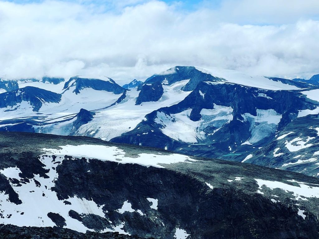
The summit itself is a broad, snow-covered plateau. The marker is a stone cairn. On a clear day, you can see Galdhøpiggen, the Besseggen ridge, and the long blue line of Lake Gjende. On a bad day—and bad days come fast here—you will see nothing but white and grey, and the wind will cut through every layer you own.
Timing matters. Start early. Most parties take 6 to 8 hours round trip from Glitterheim, but that assumes steady pace and no weather delays. If you are coming from Gjendesheim or Memurubu, add at least two hours for the approach. The last bus from Gjendesheim leaves mid-afternoon, so plan your return accordingly.
What to Watch For
Glacier awareness
The summit glacier is small but real. Do not walk on it alone if you are not experienced. If you are with a group, carry a rope and know how to use it. Check with the staff at Glitterheim or the local DNT office for current crevasse reports.
Weather
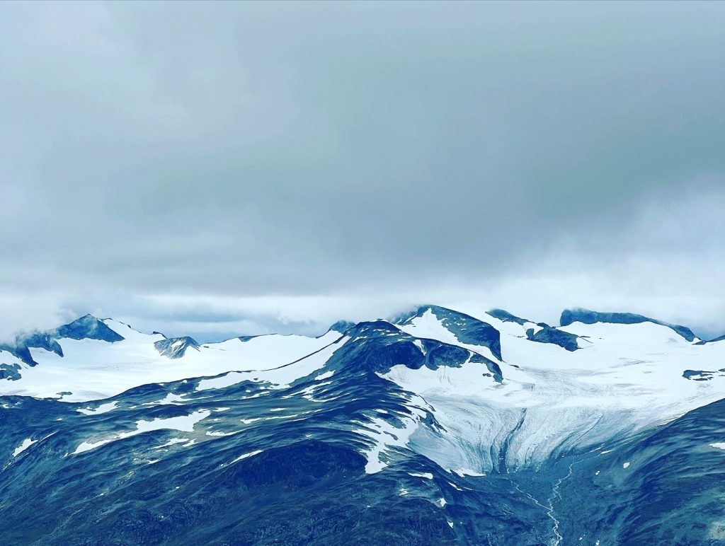
Jotunheimen weather is not polite. Clear skies can turn to sleet and zero visibility in under an hour. Check the forecast at yr.no and the mountain weather service from the Norwegian Meteorological Institute. If the wind is forecast above 15 m/s, reconsider.
Fitness
This is not a beginner hike. The elevation gain from Glitterheim is about 1,100 metres, and the terrain is uneven. If you are coming from sea level, give yourself a day to acclimatise in the valley before attempting the summit.
Navigation
The trail is marked with cairns and red Ts, but snow can obscure them. Carry a map (paper, not just phone) and a compass. GPS is fine as backup, but batteries die in the cold.
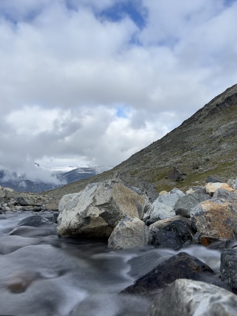
Respect the quiet
Glittertind is part of a national park. Camp only in designated spots. Pack out all waste. Do not disturb wildlife—reindeer and musk oxen are present but should be observed from a distance. The Norwegian right to roam (allemannsretten) is generous, but it comes with responsibility.
The SummitClimbs Take
Glittertind is not a mountain you conquer. It is a mountain you visit, and if you do it right, it lets you stand on its summit for a while. That is the deal. The reward is not the height, but the quality of the experience: the long approach, the snow underfoot, the silence above the treeline, and the feeling of being small in a landscape that has no interest in your schedule.
For hikers who have done Galdhøpiggen and want something less crowded and more technical, Glittertind is the natural choice. For anyone building a Norway mountain plan, it should be on the list—not as an afterthought, but as a deliberate, well-prepared objective. Come fit. Come early. Come with respect for the glacier and the weather. And come ready to earn the view.
Keep the Trails Alive
Summit Climbs is free — no ads, no paywalls, no sponsored fluff.
Every guide is written from real experience to help your next adventure.
If it helped, a small support means the world and keeps the site running.