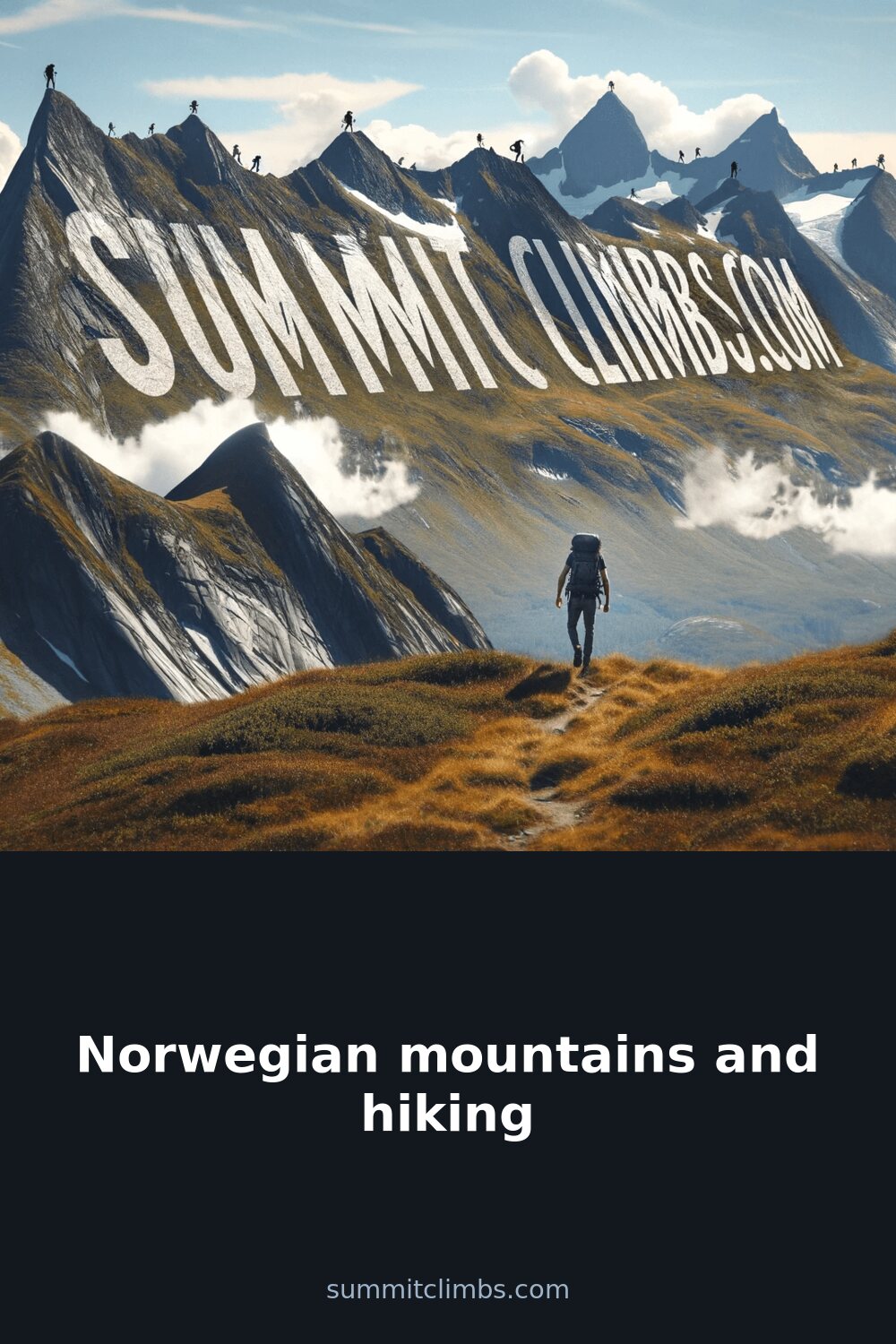
SummitClimbs Field Note: Norway’s mountains are not a weekend diversion. They demand planning, respect for weather, and a realistic sense of your own limits. The reward is terrain that feels genuinely remote—rock, ice, and fjord-carved slopes that haven’t been smoothed over for tourism. This is not a place for casual wanderers, but for hikers who come prepared.
Why This Place Belongs on a Norway Mountain Plan
Norway’s mountain ranges offer a kind of hiking that’s increasingly rare in Europe: long, self-supported routes where the next hut is hours away and the path can disappear into snow or scree. The country’s geography is defined by the Scandinavian Mountains, a spine running the length of the nation, with peaks that rise directly from fjords or plateau into alpine zones. The Lofoten Islands, though not high by Alpine standards, deliver sharp, dramatic ridges above Arctic waters. The Jotunheimen range holds the highest peaks, including Galdhøpiggen, and some of the most sustained glacier travel. The Hardangervidda plateau is a different beast—open, exposed, and wind-scoured, ideal for those who want distance without technical climbing. Each region suits a different hiker. SummitClimbs recommends matching your route to your experience, not just your ambition.
The SummitClimbs Snapshot
- Best for: Experienced hikers comfortable with navigation in variable terrain; fit beginners on marked trails with proper gear.
- Peak season: Late June through September. Snow lingers on higher passes into July.
- Key regions: Jotunheimen (high peaks, glaciers), Hardangervidda (plateau hiking, long distances), Lofoten (dramatic coastal ridges), Romsdal (steep, technical routes).
- Trail marking: Generally good on main routes (red Ts on rocks, cairns), but weather can obscure them quickly. Map and compass essential.
- Hut system: Extensive, run by the Norwegian Trekking Association (DNT). Book ahead in summer. Some staffed, some self-service.
- Weather: Unpredictable. Four seasons in a day is not a cliché—it’s a forecast. Rain, wind, and sudden temperature drops are normal.
Route Reality and Local Conditions
The classic routes in Norway are not groomed paths. The Besseggen Ridge in Jotunheimen is a justly famous day hike, but it involves scrambling on exposed rock with steep drops on both sides. The trail is well-marked, but in mist or rain, route-finding becomes serious. The Romsdalseggen Ridge offers a similar challenge: a narrow crest with sections of chain-assisted scrambling. Both require a head for heights and sure footing. For multi-day treks, the Hardangervidda plateau is a test of endurance and navigation. The terrain is open, with few landmarks, and weather can close in without warning. This is not a place to rely on a phone GPS alone. The Lofoten Islands have shorter, steeper trails—like the hike to the summit of Ryten—that reward with views over the sea, but the paths are often loose rock and mud, and the descent can be harder than the climb. Galdhøpiggen, Norway’s highest peak, is a strenuous but non-technical hike from the Spiterstulen hut, though the final section crosses snowfields that require caution late in the season.
Water crossings are common on many routes. Streams fed by melting snow can rise quickly in warm afternoons. Some crossings are bridged, others require wading. Know your limits and be prepared to turn back if a crossing looks unsafe. The DNT hut network is a reliable resource, but huts are spaced at intervals that assume a fit hiker covering 15–20 km per day. Overestimating your pace is a common mistake.
What to Watch For
- Weather volatility: Norwegian mountain weather can shift from clear to storm in under an hour. Always carry a windproof and waterproof layer, even on a forecasted sunny day. Check yr.no for detailed forecasts, but treat them as guidance, not gospel.
- Snowfields: Many routes have snow patches that persist through July. Crampons and an ice axe are not always required, but know when they are. Crossing a steep snow slope without them is a risk SummitClimbs advises against.
- Navigation: Trail markings can be sparse above treeline. Carry a physical map (1:50,000 or 1:25,000) and a compass. Know how to use them. Mobile coverage is unreliable in deep valleys and on high plateaus.
- Water sources: Generally safe to drink from streams and lakes, but avoid water near grazing areas or downstream of huts. Treat if uncertain.
- Wildlife: Reindeer and arctic fox are common. Keep your distance. No large predators pose a threat to hikers, but respect all animals.
- Leave No Trace: The terrain is fragile. Pack out all waste, including toilet paper. Campfires are restricted in many areas. Use designated fire pits where allowed.
The SummitClimbs Take
Norway’s mountains are not a checklist of summits. They are a landscape that asks for attention, preparation, and humility. The best hike is the one you finish safely, with the weather on your side and the route clear in your mind. The country’s trail network and hut system support serious mountain travel, but they don’t eliminate the need for self-reliance. If you come with solid gear, realistic expectations, and a willingness to adapt your plan, you will find some of the most rewarding hiking in Europe. If you treat it as a casual walk, the mountains will remind you otherwise. SummitClimbs’ advice: plan your route, check conditions up to the day, and always carry the ability to turn around. The peaks will wait.
Keep the Trails Alive
Summit Climbs is free — no ads, no paywalls, no sponsored fluff.
Every guide is written from real experience to help your next adventure.
If it helped, a small support means the world and keeps the site running.