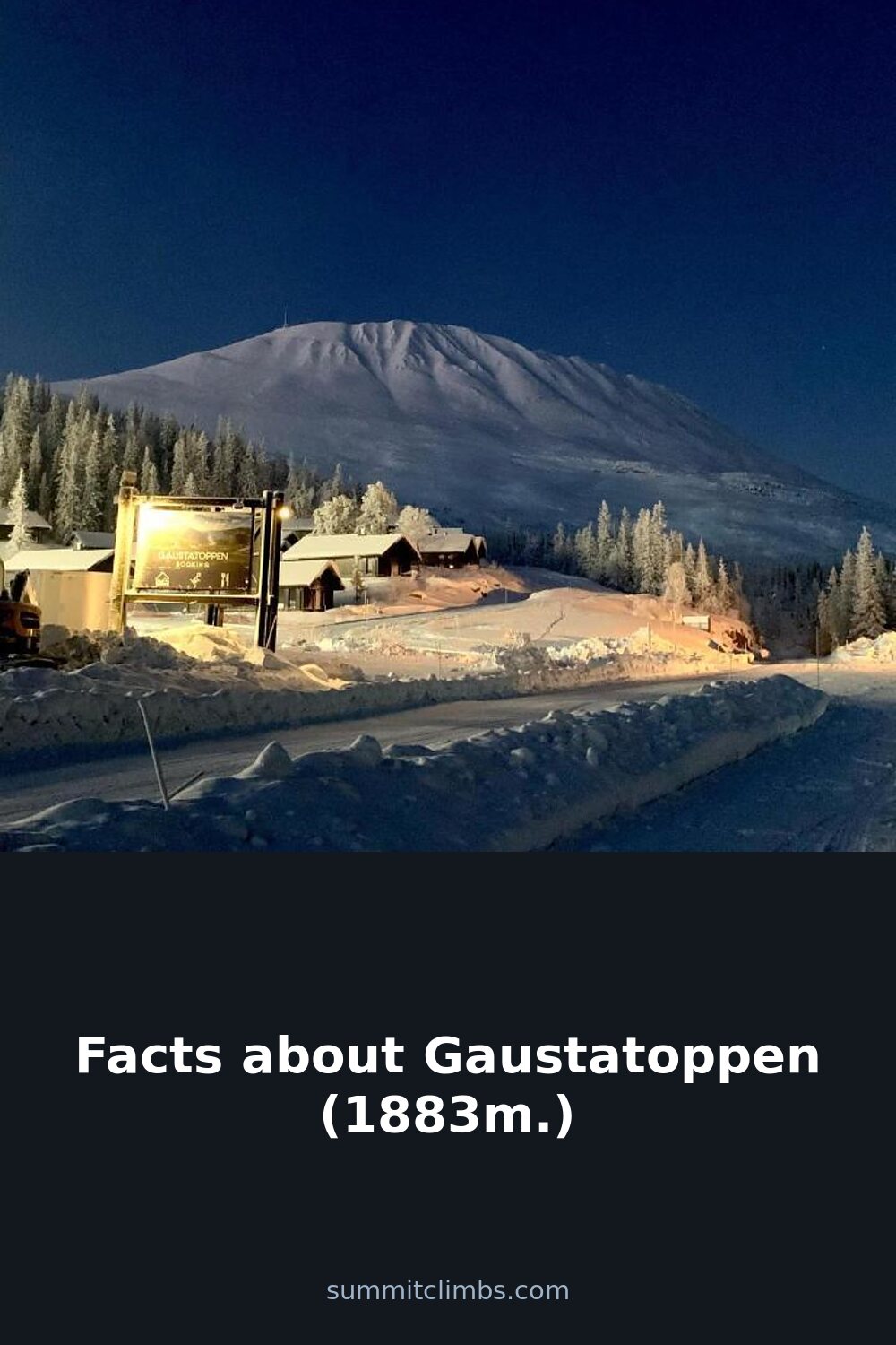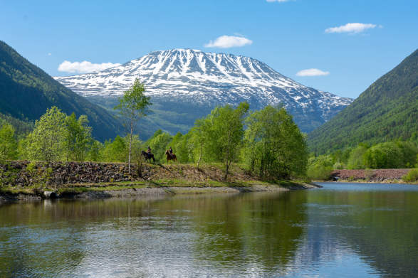
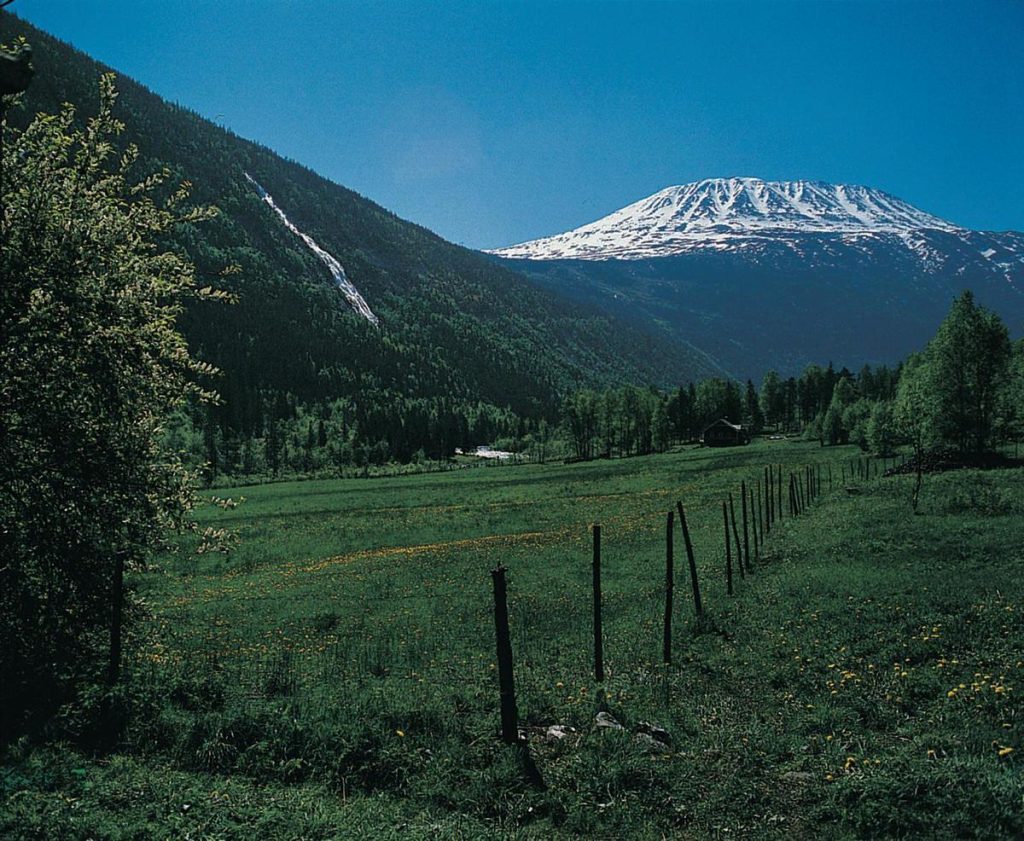
SummitClimbs Field Note: Gaustatoppen stands at 1,883 meters, making it the highest point in Telemark and one of southern Norway’s most accessible high-alpine objectives. Its summit view—covering roughly one-sixth of the country’s mainland—is the main draw, but the mountain also carries Cold War history and seasonal ice-climbing cachet. This is not a wilderness expedition; it is a well-trodden, medium-difficulty day hike with a few sharp edges. Know the weather, respect the southwest exposure, and you will have a clean, rewarding day out.
Why This Place Belongs on a Norway Mountain Plan
If you are building a Norway itinerary that mixes classic peaks with genuine historical texture, Gaustatoppen earns a slot. The mountain sits in Tinn Municipality, with its southern flank spilling into Hjartdal. It is the tallest summit in the former Vestfold og Telemark county, but height alone does not explain its reputation. The real asset is the view: on a clear day, the panorama covers nearly one-sixth of Norway’s mainland. That is not hyperbole—it is a function of the peak’s isolated position and the surrounding lowlands.
Beyond the vista, the mountain has a Cold War story that is increasingly accessible. A military installation sits inside the peak, with a lift running through the rock to the summit. That lift was classified until the 1990s. Today, the facility is decommissioned, and there are plans to open it to tourists. For now, the exterior remains visible, and the historical context adds a layer most Norwegian summits lack. Ice climbers will also note that Rjukan, just a short drive away, is one of the world’s premier ice-climbing destinations. The season peaks in winter, and accommodation in Rjukan fills fast. Plan accordingly.
The SummitClimbs Snapshot
Elevation: 1,883 meters
Location: Tinn and Hjartdal municipalities, Telemark
Difficulty: Medium. The standard route is not steep or exposed, but the southwestern side is genuinely dangerous and should be avoided. Fog near the summit can turn a straightforward walk into a navigation problem.
Typical time: 3 hours up, 1 to 1.5 hours down. That is for a fit party moving at a steady pace on the standard route. Add time for photos, breaks, and weather checks.
Best season: Summer for hiking. Winter for ice climbing in Rjukan. The summit lift is not yet open to tourists, but check current status before planning a winter ascent.
Who it suits: Hikers with moderate fitness who want a reliable peak with a big view and historical interest. Not suitable for beginners in poor visibility or anyone tempted by the southwest side.
Route Reality and Local Conditions
The standard route is a well-traveled path up the east flank, then several switchbacks on the southern pillar to the summit. The trail is easy to locate and follow. You will not need a rope or technical gear in summer, but you will need solid footwear and the ability to read terrain. The climb is not steep for most of its length, but the final section near the summit can be loose in spots, especially after rain or freeze-thaw cycles.
The southwestern side is a different story. It is steep, unstable, and considered dangerous. Do not treat it as a variation or shortcut. Stick to the standard line. If you are descending in fading light or low cloud, the easiest mistake is to drift onto the wrong side of the ridge. Use a compass or GPS, and do not rely solely on a phone battery.
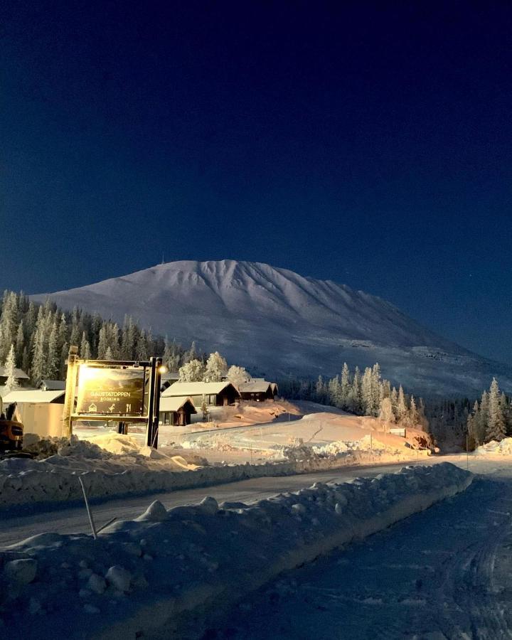
Fog is the most common hazard on Gaustatoppen. The summit is often in cloud when the valley is clear. If visibility drops below 20 meters, stop, assess, and either wait it out or turn back. The route is not technically demanding, but navigation in thick fog on an open ridge is a serious test. The SummitClimbs recommendation: start early, check the mountain forecast from the Norwegian Meteorological Institute, and have a turn-around time written down before you leave the car.
What to Watch For
Weather shifts: Gaustatoppen creates its own weather. A sunny start can become a cold, windy summit in under an hour. Carry a windproof layer and a hat, even in July.
Footing on the descent: The trail is mostly rock and scree. Descending quickly is tempting, but loose stones and fatigue cause most accidents. Take your time.
Military remnants: The installation is no longer active, but you may see infrastructure near the summit. Do not enter any unmarked structures. Respect the site.
Camping regulations: Norway’s right to roam applies, but Gaustatoppen’s summit area is sensitive. Camp below the treeline and away from trails. Check local rules for the Tinn and Hjartdal areas before pitching a tent.
Rjukan ice season: If you are coming for ice climbing, book accommodation months ahead. Rjukan fills with international climbers from January through March. The ice is world-class, but the town is small.
The SummitClimbs Take
Gaustatoppen is a solid, honest mountain. It is not a technical prize, but it does not pretend to be. It offers a clean day out, a view that justifies the effort, and a rare piece of Cold War history embedded in the rock. The standard route is straightforward for anyone with moderate hiking experience, but the weather and the southwest side demand respect. Treat it with the same seriousness you would any alpine objective, and you will come away with a summit that feels earned. For the SummitClimbs reader who wants a reliable Telemark peak with character, Gaustatoppen delivers.
Keep the Trails Alive
Summit Climbs is free — no ads, no paywalls, no sponsored fluff.
Every guide is written from real experience to help your next adventure.
If it helped, a small support means the world and keeps the site running.