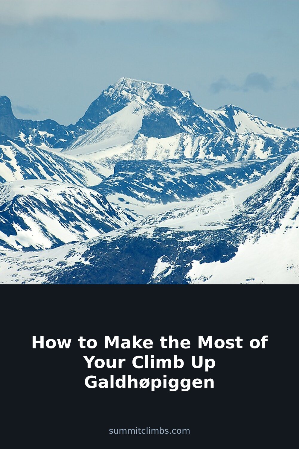
SummitClimbs Field Note: Galdhøpiggen, Norway’s highest peak at 2,469 meters, is a genuine alpine objective that rewards solid planning with one of Scandinavia’s most expansive summit views. It’s not a technical climb for most parties, but the weather, snow conditions, and route choice demand respect. This is a mountain that suits fit walkers and early-season mountaineers alike—provided they treat it with the seriousness it deserves.
Why This Place Belongs on a Norway Mountain Plan
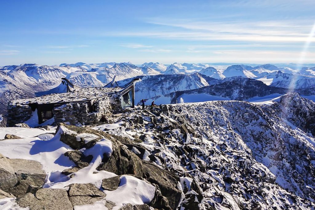
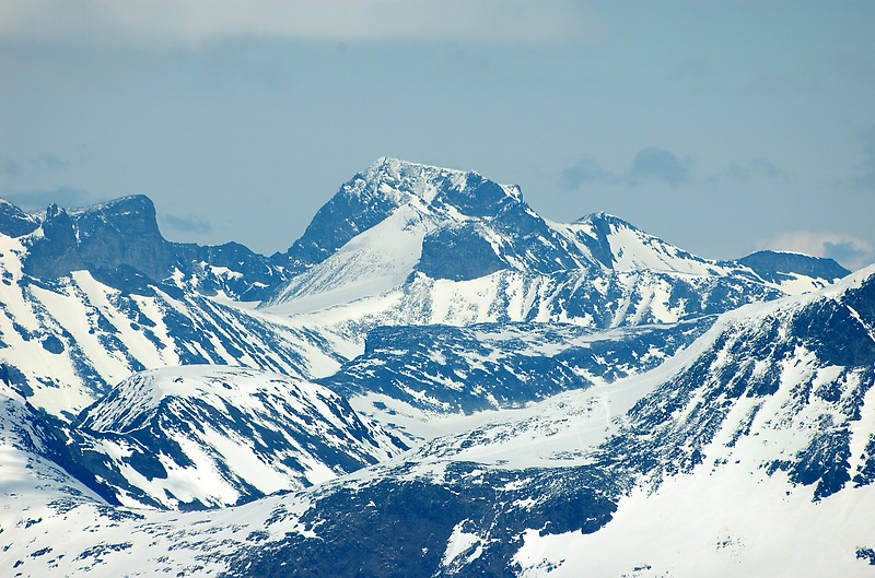
Galdhøpiggen earns its place on any Norway mountain list for more than just altitude. The summit sits in the heart of the Jotunheimen National Park, surrounded by a sea of jagged peaks and glaciers that feel genuinely remote. On a clear day, you can trace the horizon from the Jostedalsbreen ice cap to the distant peaks of the Rondane range. The mountain itself is a classic Norwegian “top” rather than a technical spire: a broad, rocky summit with a small shelter and a cairn that marks the highest point. The experience is less about clinging to rock and more about moving efficiently over snow and scree, reading the sky, and understanding the mountain’s rhythms.
For many, the draw is simple: stand on the roof of Norway. But the real value comes from the journey—the steady grind up from the valley, the sudden shift in light as you cross the snowline, and the quiet that settles over the summit plateau when the wind drops. This is a mountain that delivers when you put in the work.
The SummitClimbs Snapshot
- Height: 2,469 meters (8,100 feet)
- Season: Late June through August is the standard window. Outside this, expect deep snow, unstable weather, and potential route-finding issues.
- Time required: Most parties need 6–7 hours round trip from the main trailhead, depending on fitness, route, and conditions.
- Technical difficulty: Non-technical under summer conditions, but snow slopes and occasional ice patches require crampons and an ice axe early in the season.
- Guide recommended: Yes, especially for first-timers or if you lack experience reading alpine terrain. The route is marked but not immune to whiteout conditions.
- Facilities at summit: A basic shelter exists, but no toilet. Bring a bag for your waste and pack out all trash. No water source above the valley.
Route Reality and Local Conditions
The most popular route starts from the Spiterstulen mountain lodge, which sits at about 1,100 meters. From here, the trail climbs steadily up the valley, crossing moraines and then snowfields before reaching the summit ridge. The distance is manageable, but the elevation gain of over 1,300 meters makes this a solid day out. The path is well-trodden in summer, but don’t mistake “well-trodden” for “easy.” Loose rock on the upper slopes, lingering snow patches, and sudden weather changes are the norm.
Alternatively, some parties start from the Juvasshytta lodge, which sits at 1,840 meters. This route involves crossing the Styggebreen glacier, which requires glacier travel skills and a rope. This is not a beginner’s line. If you choose this approach, a guide is essential—crevasses are real and can be hidden under summer snow.
Weather in Jotunheimen is famously fickle. A clear morning can turn into a whiteout by noon. Snow flurries are possible even in July. Check the forecast from the Norwegian Meteorological Institute, but also watch the sky yourself. If clouds build early, consider turning back before the summit ridge. SummitClimbs recommends setting a firm turnaround time and sticking to it—no summit is worth a night out in a storm.
What to Watch For
Dehydration is a common issue on Galdhøpiggen. The climb is long, the air is dry, and the effort is steady. Carry at least two liters of water per person, and consider an electrolyte supplement. There is no reliable water source above the valley floor.
Slipping on snow or ice is the primary physical risk. Even in late summer, the upper slopes can hold hard snow patches. Crampons and an ice axe are not overkill if you plan to traverse any snow-covered section. Trekking poles are useful for the rocky lower sections but won’t give you the same security on ice.
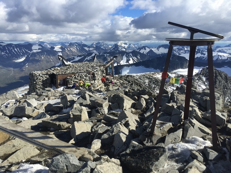
Route-finding in poor visibility is a real hazard. The trail is marked with cairns, but these can be hard to spot in fog or blowing snow. A GPS with the route loaded, a paper map, and a compass are essential. Do not rely on your phone alone—batteries die fast in cold weather, and signal is unreliable.
Finally, pack out everything you bring in. The summit shelter has no waste facilities. Litter is a growing problem on popular Norwegian peaks. SummitClimbs encourages a strict leave-no-trace ethic: carry a small bag for your own trash and any you see left behind.
The SummitClimbs Take
Galdhøpiggen is a genuine alpine day that rewards preparation and humility. It’s not a walk in the park, but it’s also not a climb reserved for elite mountaineers. The sweet spot is a fit hiker with basic snow travel skills, a solid weather window, and a willingness to turn back if conditions shift. The summit views are among the best in Scandinavia, but they come with a price: a long day, a heavy pack, and constant attention to the sky.
If you treat the mountain on its own terms, you’ll leave with a memory that sticks—not just of the altitude, but of the quiet effort of moving through a landscape that demands your full attention. That’s the real summit.
Keep the Trails Alive
Summit Climbs is free — no ads, no paywalls, no sponsored fluff.
Every guide is written from real experience to help your next adventure.
If it helped, a small support means the world and keeps the site running.