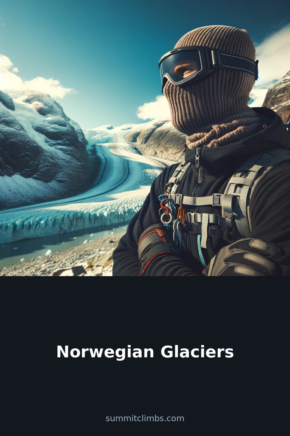
SummitClimbs Field Note: Norway’s glaciers are not museum pieces. They are active, retreating, and deeply tied to the country’s bones—carving fjords, feeding rivers, and shaping the ground beneath your boots. If you’re planning a mountain trip here, understanding these ice masses is as practical as checking the weather. They influence access, route conditions, and the very landscape you’ll move through. This is not a scenic aside; it’s the terrain you’re walking on.
Why This Place Belongs on a Norway Mountain Plan
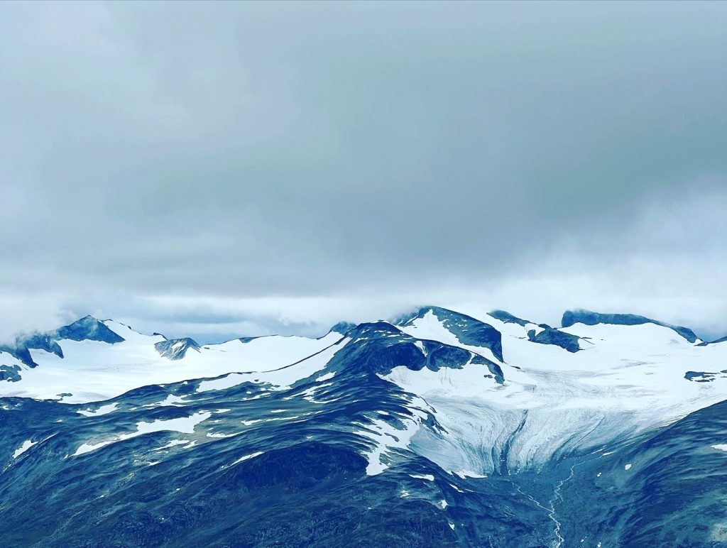
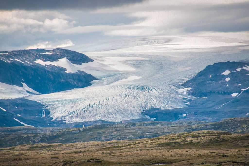
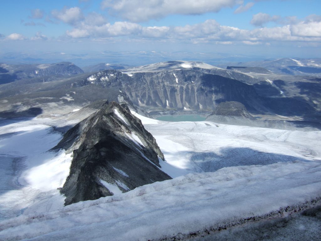
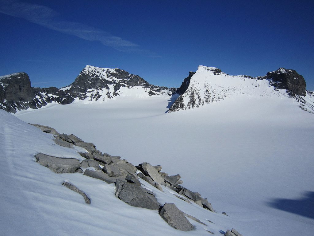
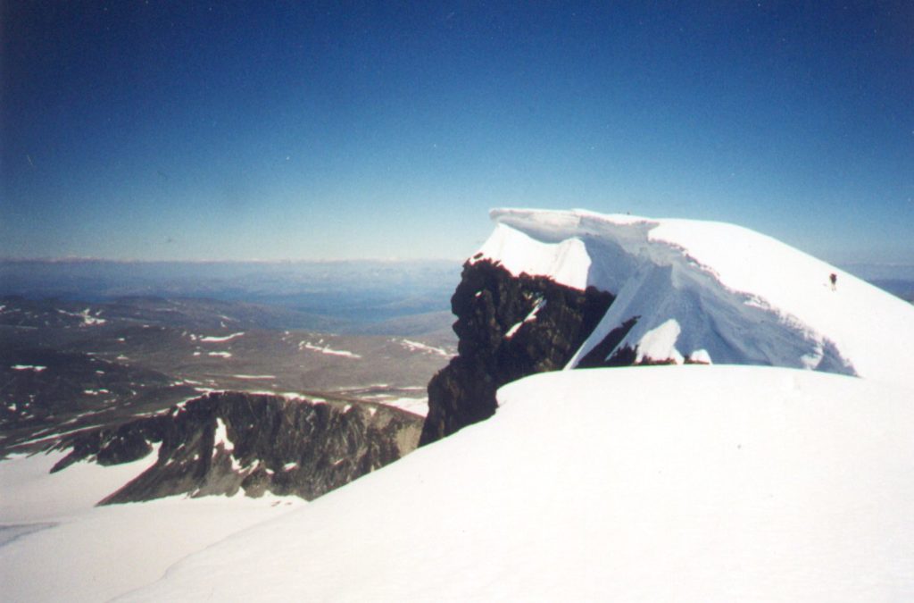
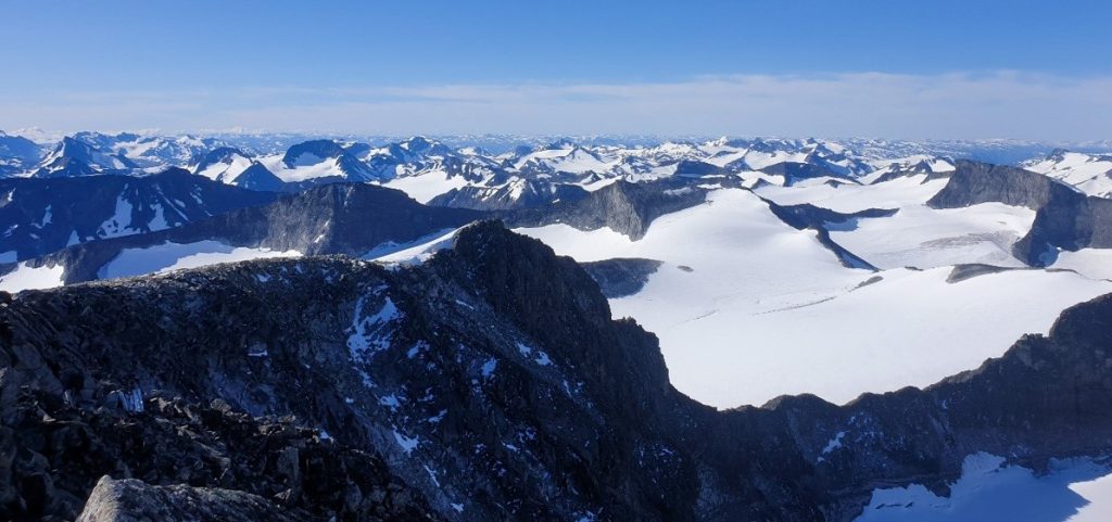
Norway’s glaciers are the reason its western and northern mountains look the way they do. The deep fjords, U-shaped valleys, and sharp ridges you’ll navigate were carved by ice over millennia. The largest, Jostedalsbreen, sits in the west and is the biggest glacier on mainland Europe—a massive ice cap that feeds dozens of outlet glaciers you can approach on foot. These are not static backdrops. They are dynamic systems that dictate river levels, trail conditions, and the timing of safe travel. For anyone serious about Norway’s mountains, glaciers are a central feature, not a detour.
The SummitClimbs Snapshot
- Where they sit: Primarily western and northern Norway. Jostedalsbreen is the standout, but Svartisen, Folgefonna, and Hardangerjøkulen are all significant and accessible.
- What they do: Feed rivers that power hydropower (a major energy source in Norway), support ecosystems, and hold seasonal water that communities and farms rely on.
- Movement: They are never still. Gravity and internal pressure drive them forward, though most are now retreating faster than they advance.
- Climate link: Their health is a direct read on global warming. Current trends point to significant loss by century’s end if emissions continue unchecked.
- Access reality: Many are reachable via marked trails, but glacier travel requires proper gear, knowledge, and often a guide. This is not a casual walk.
Route Reality and Local Conditions
Approaching a Norwegian glacier means dealing with real variables. Meltwater streams can swell in late spring and summer, turning dry creek beds into impassable barriers. Snow bridges over crevasses weaken as the season warms. The best window for stable conditions is often late June through August, but that’s also when runoff is highest. Early season (May to June) can mean more snow cover, which hides crevasses but also makes crampon travel steadier. Late season (September) brings harder ice and more exposed crevasses—technical but honest terrain.
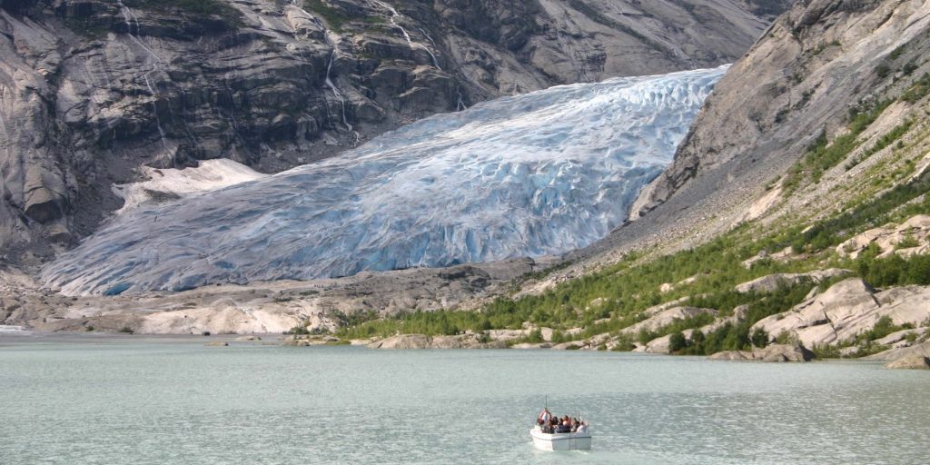
Jostedalsbreen’s outlet glaciers, like Nigardsbreen and Briksdalsbreen, are among the most visited. They offer relatively straightforward access from parking areas, but don’t mistake proximity for safety. The ice is crevassed, and the margins can be unstable. Guided trips are the norm here, and that’s not a soft option—it’s the smart one. Svartisen, further north, is less crowded but requires a boat crossing to reach the trailhead. Folgefonna, in the south, is a ski destination well into summer. Each has its own rhythm of access, weather, and ice behavior.
Weather is the wildcard. Coastal glaciers get heavy precipitation—expect rain, fog, and sudden cloud cover. The ice itself can be slick even in dry conditions. Wind funnels through the valleys, and visibility can drop to zero without warning. Check local forecasts from the Norwegian Meteorological Institute, and always have a bailout plan. The mountains here are not forgiving of complacency.
What to Watch For
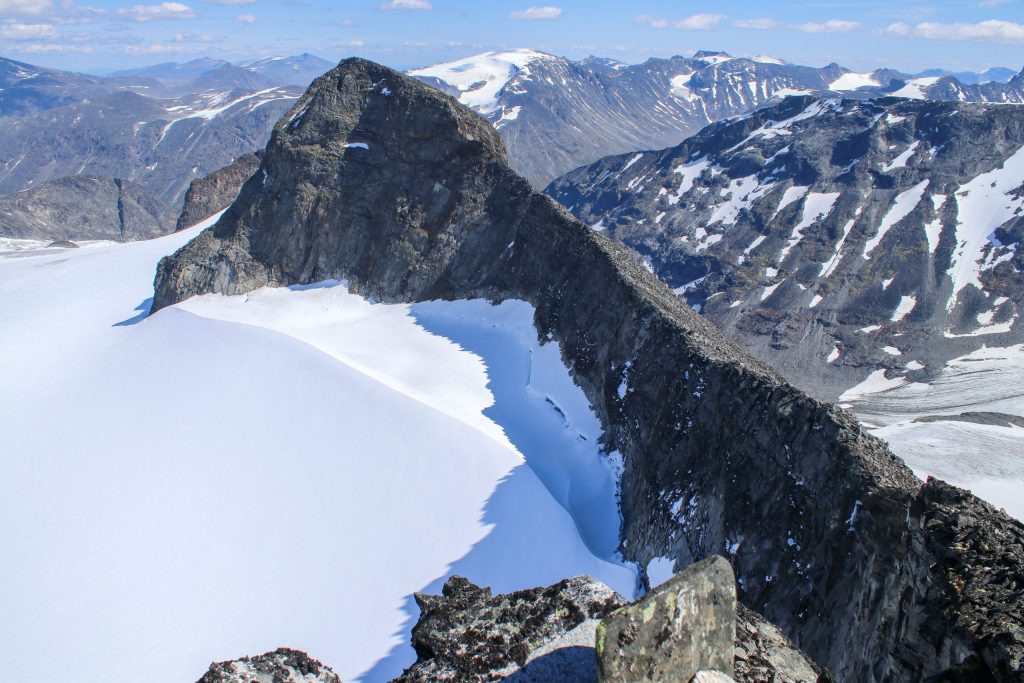
- Crevasses: They are not always visible. Snow bridges can hide them until you’re on top. Rope up and travel with a partner who knows glacier rescue.
- Meltwater streams: They cut channels under and on the ice. Crossing them can be dangerous, especially in afternoon when melt peaks.
- Retreating ice margins: The edges of many glaciers are receding. What was a safe approach five years ago may now be unstable moraine or bare bedrock. Check recent route reports.
- Seracs and icefalls: On steeper glacier sections, ice towers can collapse without warning. Avoid lingering below them.
- Wildlife: Reindeer and arctic foxes use the edges of glaciers. Give them space and don’t disturb their habitat.
- Leave no trace: The glacial environment is fragile. Pack out everything, including human waste where facilities are absent.
The SummitClimbs Take
Norway’s glaciers are a practical classroom for anyone who travels in mountains. They teach you about movement, timing, and humility. They are also a clear signal of what’s changing globally. Every season you spend near them, you’ll notice something different—a new stream course, a thinner ice tongue, a route that no longer works. That’s not alarmism; it’s observation. The data backs it up: these glaciers are shrinking, and the pace is accelerating.
But they are not gone yet. For the mountaineer, the skier, or the hiker who wants to understand the landscape, Norway’s glaciers offer some of the most honest terrain in Europe. They demand respect, preparation, and a willingness to adapt. If you go with the right mindset—and the right gear—they will give you a trip that stays with you. That’s the SummitClimbs take: know the ice, respect the melt, and move with the season. The rest is just scenery.
Keep the Trails Alive
Summit Climbs is free — no ads, no paywalls, no sponsored fluff.
Every guide is written from real experience to help your next adventure.
If it helped, a small support means the world and keeps the site running.