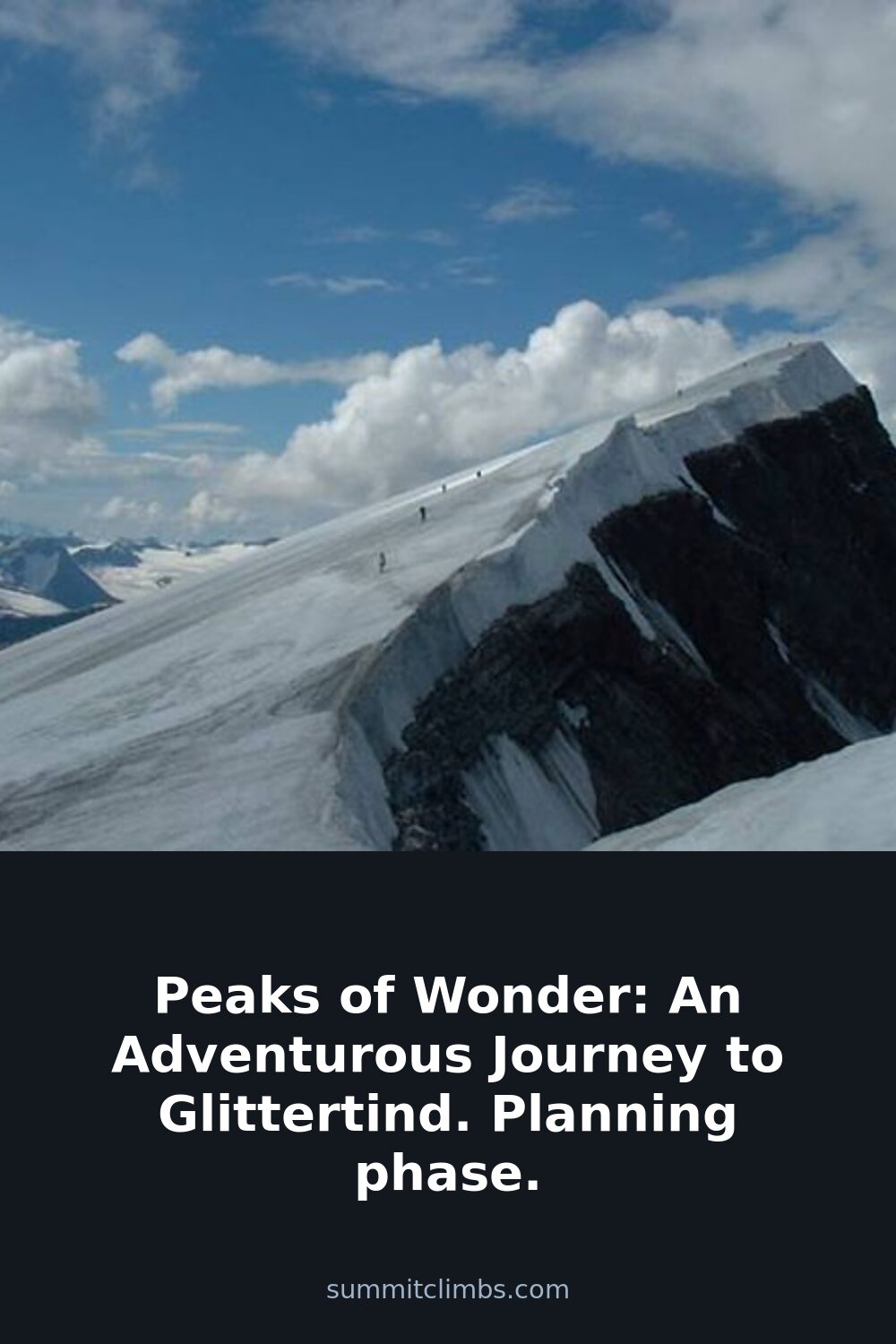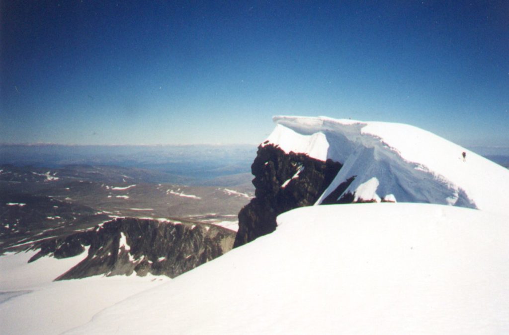
SummitClimbs Field Note: Glittertind sits just a few kilometers from Galdhøpiggen, Norway’s highest peak, but it holds its own reputation for length and exposure. If you’ve already bagged Galdhøpiggen—as I did last year with my partner—you’ll recognize the terrain but should expect a longer, more grinding day. This is not a peak to underestimate, even if the altitude is lower. The standard route from Spiterstulen is a classic, but the weather window is tight and the trail demands respect.
Why This Place Belongs on a Norway Mountain Plan
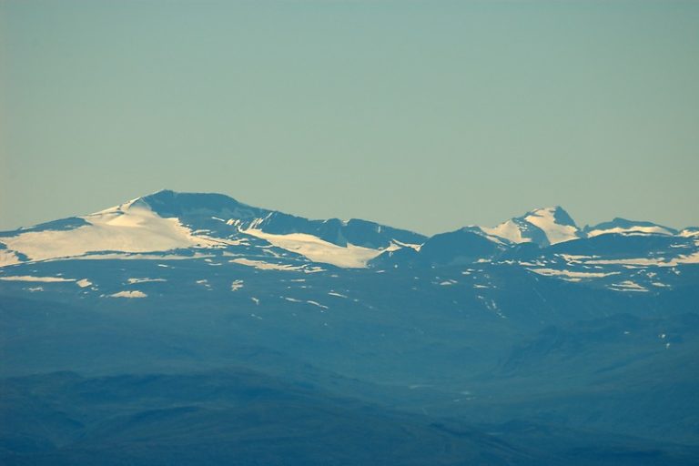
Glittertind is the second-highest mountain in Norway, and it once claimed the title of highest when its glacier cap was thicker. That history alone makes it a compelling objective for anyone ticking off the Jotunheimen giants. But beyond the stats, the appeal is the terrain: a long, steady ascent up a glacier-covered ridge that offers sweeping views of the surrounding massif. Unlike Galdhøpiggen’s more popular and crowded route, Glittertind feels quieter, more raw. It’s a place where the mountain demands your full attention, and the reward is a summit that feels earned.
The SummitClimbs Snapshot
- Location: Jotunheimen National Park, central Norway
- Height: 2,452 m (8,045 ft) – second highest in Norway
- Recommended base: Spiterstulen mountain lodge
- Round-trip time: Approximately 9 hours, covering 16–19 km
- Season: Late July to mid-August is the most reliable weather window
- Difficulty: Strenuous; involves glacier travel and route-finding in poor conditions
- Best for: Experienced hikers with glacier experience, or those with a guide
Route Reality and Local Conditions
The standard route starts at Spiterstulen, which sits at about 1,100 m. From there, you follow a well-trodden path up the valley, then switchback onto the glacier. The climb is steady—no technical sections in good weather—but the distance and elevation gain make it a long day. Most online guides peg the round trip at 16–19 km, with about 1,350 m of ascent. That’s a solid 9-hour day if you move efficiently, but add time for breaks, photo stops, and weather checks.
The glacier itself is crevassed in places, but the main route is well-marked with wands in summer. That said, don’t rely on wands alone. A GPS with a pre-loaded track is essential, especially if fog rolls in—which it often does. The surface can be firm in the morning and slushy by afternoon, so an early start is non-negotiable. Snow bridges can weaken as the day warms, so crossing early is safer.
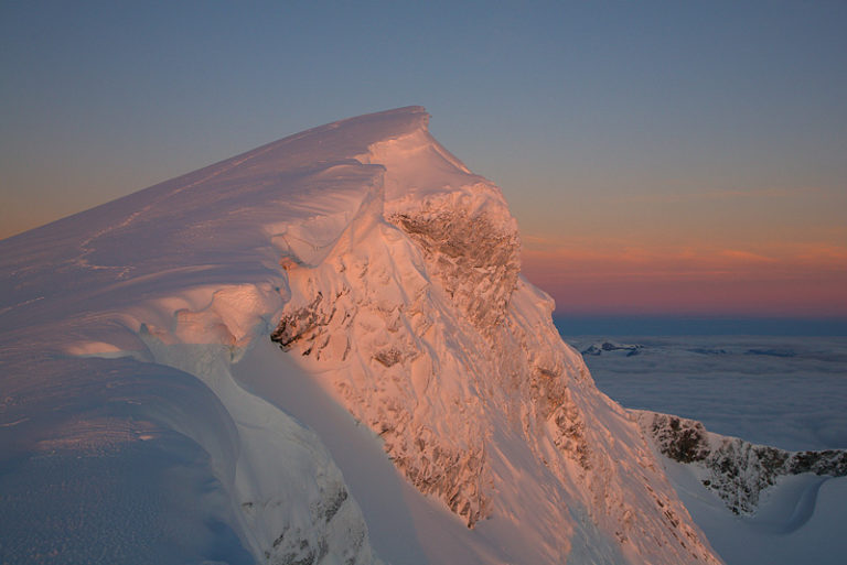
Weather in Jotunheimen is famously fickle. In early July this year, forecasts were showing rain and snow with temperatures around -3°C at altitude. That’s not unusual, but it’s a reminder that even in high summer, winter conditions can persist. I’ll be watching the forecast closely in late July for more reliable data. If you’re planning a trip, aim for the first or second week of August—that’s when the weather tends to stabilize, and the snow has softened enough for safe travel without being too rotten.
What to Watch For
Glacier Hazards
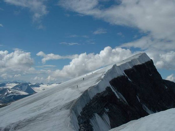
The route crosses the Glittertind glacier. Even in summer, crevasses can be hidden under snow bridges. A rope and crampons are standard equipment, and knowing how to use them is non-negotiable. If you’re not comfortable on glaciers, consider hiring a guide from Spiterstulen.
Weather Shifts
Fog, rain, and wind can arrive in minutes. The summit is exposed, and visibility can drop to zero. Always carry a map, compass, and GPS—and know how to use them in whiteout conditions. A bivvy bag is a sensible addition for emergencies.
Timing and Fatigue
Nine hours is a long day, especially if you’re carrying a full pack. I’m considering spending a night on the mountain during the return to lighten the load, but that means carrying camping gear. The trade-off is between weight and flexibility. If you’re fit and experienced, a single long day is doable. If you’re less confident, a bivvy or a hut stay adds margin.
Navigation on the Glacier
The wands are usually in place by mid-July, but they can be knocked down by wind or buried by fresh snow. Don’t assume the route is obvious. Practice navigating on snow before you go, and always have a backup plan for retreat.
The SummitClimbs Take
Glittertind is a worthy objective for anyone who has already climbed Galdhøpiggen and wants a quieter, more committing day in the Jotunheimen range. It’s not technically harder, but the longer approach and glacier travel add a layer of seriousness. If you’re going solo, make sure your navigation and glacier skills are solid. If you’re going with a partner, agree on a contingency plan for weather and fatigue.
The best advice I can offer is to treat this as a full alpine day, not a summer hike. Pack for winter conditions, start early, and be ready to turn around if the weather turns. The summit will be there another year. The mountain doesn’t care about your schedule, but it will reward good judgment with a view that—on a clear day—is as good as any in Norway.
Keep the Trails Alive
Summit Climbs is free — no ads, no paywalls, no sponsored fluff.
Every guide is written from real experience to help your next adventure.
If it helped, a small support means the world and keeps the site running.