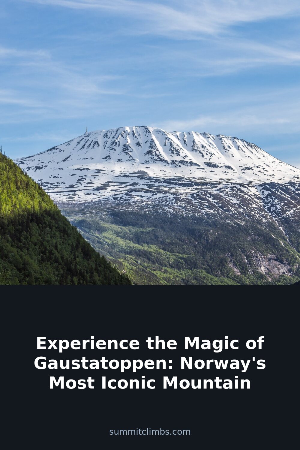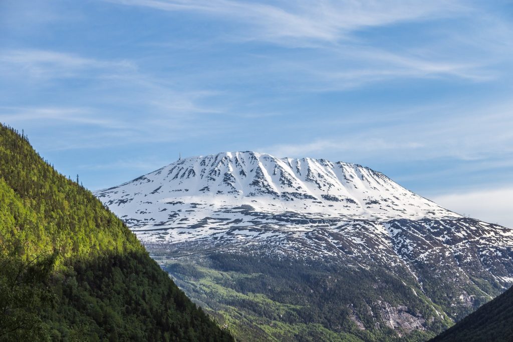
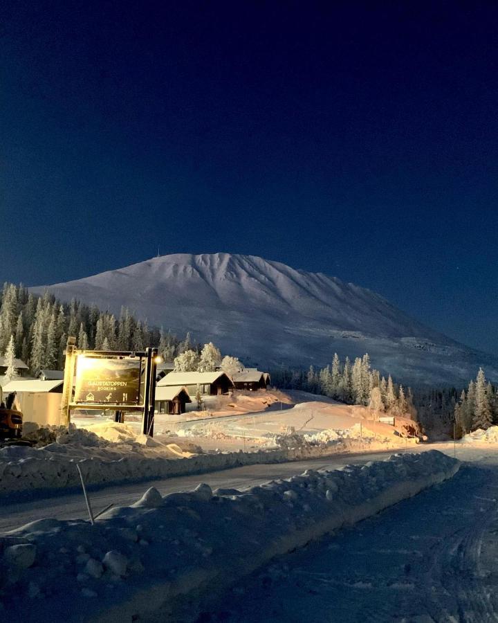
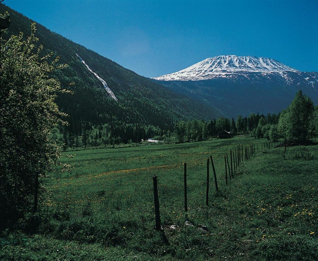
SummitClimbs Field Note: Gaustatoppen is often called Norway’s most iconic mountain, and the label holds up—but for practical reasons, not just postcard looks. This 1,883-meter peak in Telemark punches above its height because of where it sits: isolated, sharp, and visible from a huge chunk of southern Norway. On a clear day, the view from the summit reportedly covers one-sixth of the country. That’s not hype; it’s a function of the mountain’s position and the clean Scandinavian air. But clear days are not guaranteed, and this is where the mountain separates casual visitors from prepared hikers. The cable car makes the summit accessible to almost anyone, but the real experience—and the one that suits seasoned mountain travelers—is the hike up, with its changing geology, weather windows, and route choices that demand respect.
Why This Place Belongs on a Norway Mountain Plan
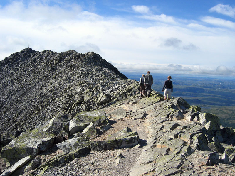
Gaustatoppen isn’t the tallest peak in Norway, but it’s the most recognizable. Its quartzite spine—a rare rock type in this part of the country—gives it a sharp, almost blade-like profile that stands out against the rounded terrain around it. That quartzite is also why the mountain holds its shape under weather and foot traffic. The summit ridge is solid, not crumbling, which matters when you’re exposed above treeline.
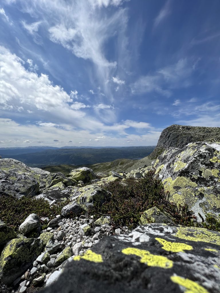
For anyone building a Norway mountain itinerary, Gaustatoppen works as a standalone objective or a link in a longer Telemark traverse. It’s close to Rjukan, a town with its own industrial and wartime history, and the mountain has been a landmark for centuries. The first ascent was commemorated with a metal monument in 1932, still in place at the summit. That’s not just a photo spot—it’s a reference point for navigation in poor visibility.
The SummitClimbs Snapshot
- Location: Telemark region, near Rjukan. Southern Norway’s highest peak at 1,883 m.
- Access: Road to near the summit. Cable car operates seasonally. Hiking trails from multiple trailheads.
- Best for: Hikers comfortable with exposed ridges, rapid weather changes, and route-finding above treeline. Also suitable for less experienced walkers using the cable car—but only on stable weather days.
- Not for: Anyone expecting a straightforward ridge walk in all conditions. This is a real mountain, not a hill with a view.
- SummitClimbs rating: Moderate to challenging, depending on route and season. The cable car option lowers the physical demand but not the weather risk.
Route Reality and Local Conditions
The most common hiking route starts from the Gaustabanen cable car lower station, but the real mountain experience begins on foot from the valley. Several marked trails ascend through birch forest, then open onto quartzite slabs and scree. The upper section is a ridge walk with genuine exposure. In summer, the trail is usually clear of snow by late June, but patches can linger into July on the north side.
Weather is the dominant factor. Gaustatoppen creates its own microclimate. A forecast of 10°C in Rjukan can mean 2°C and 40 km/h wind at the summit. Fog can roll in within minutes, reducing visibility to 20 meters. The summit plateau is broad enough to get disoriented in cloud, and the monument is not always visible from the ridge. Carry a map, compass, and the ability to use them. GPS is helpful but not a substitute.
The cable car, Gaustabanen, runs from a tunnel entrance partway up the mountain and is a practical option for those who want the summit view without the full climb. But SummitClimbs advises: do not treat the cable car as a weather escape. If conditions deteriorate, you may be stuck at the summit until the car operates again, and the queue can be long on busy days. Plan your timing around the last descent.
What to Watch For
- Weather windows: Start early. Afternoon thunderstorms are common in summer. If the summit is in cloud by 11:00, reconsider.
- Footing: Quartzite is grippy when dry, slick when wet or iced. Approach slabs with care after rain.
- Route marking: Cairns and red Ts mark the main trail, but they can be sparse on the ridge. In fog, it’s easy to wander onto loose ground.
- Crowds: The summit area can be busy in July and August. The hiking trails below are quieter, especially on weekdays.
- Wildlife: Reindeer and ptarmigan are common above treeline. Golden eagles and gyrfalcons are possible. Keep distance and do not feed.
- Leave no trace: The quartzite summit is fragile. Stay on rock where possible. Pack out all waste.
The SummitClimbs Take
Gaustatoppen is a genuine mountain experience in a country full of them. It earns its iconic status not through height alone, but through its distinct shape, the quality of its rock, and the sheer scale of the view. That view is not a guarantee—you can stand on the summit in thick cloud and see nothing—but when it opens, it’s one of the most expansive in Scandinavia.
This is not a mountain for the unprepared. The cable car creates the illusion of easy access, but the summit environment is serious. If you hike, treat it as a full mountain day: layers, food, navigation kit, and a decision-making framework for turning around. If you ride the cable car, still carry windproofs and a headlamp. The mountain does not care about your schedule.
For SummitClimbs readers, Gaustatoppen fits best as a one-day objective with flexibility. Combine it with Rjukan’s other attractions if you have time, but don’t rush the mountain. Give yourself the full day, start early, and let the weather decide your route. That’s how you experience the magic—on its own terms.
Keep the Trails Alive
Summit Climbs is free — no ads, no paywalls, no sponsored fluff.
Every guide is written from real experience to help your next adventure.
If it helped, a small support means the world and keeps the site running.