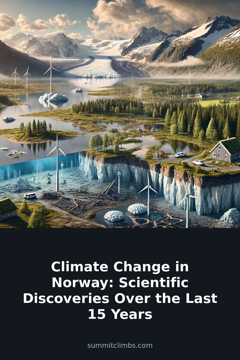
SummitClimbs Field Note: Over the past 15 years, Norwegian mountain conditions have shifted in ways that directly affect route planning, access windows, and safety margins. The science is clear, and the implications for anyone traveling through Jotunheimen, Folgefonna, or the high Arctic are practical, not theoretical. Here’s what the data means for your next trip.
Why This Place Belongs on a Norway Mountain Plan
Norway’s mountains—from the glacier-carved valleys of the south to the permafrost plateaus of Svalbard—offer some of the most accessible alpine terrain in Europe. But the conditions that made these routes reliable for decades are changing. Temperature records from the Norwegian Meteorological Institute show the country has warmed by about 1.5°C since the early 20th century, with most of that rise occurring in the last 15 years. That’s not a slow drift; it’s a measurable shift in the baseline for every climb, traverse, and ski tour.
If you’re planning a summit bid in Norway, understanding these changes isn’t an academic exercise. It determines when you can cross a glacier safely, whether a hut will be accessible, and how much meltwater you’ll need to manage on approach. The science from the Norwegian Centre for Climate Services, the Norwegian Water Resources and Energy Directorate, and the Norwegian Polar Institute gives us the data to adjust our plans.
The SummitClimbs Snapshot
Let’s break down the key changes over the last 15 years in practical terms:
- Temperature: Average annual temperatures have risen roughly 1.5°C since the early 1900s, accelerating in the last two decades. This means earlier snowmelt, longer summer seasons in the south, and shorter, more unpredictable winters in the north.
- Precipitation: Annual rainfall has increased by about 20% since the early 1900s, with more heavy downpours. This raises flood risk on approach trails and makes river crossings more hazardous, especially in May and June.
- Glaciers: Major icefields in Jotunheimen and Folgefonna have retreated significantly. The NVE reports that many outlet glaciers are now smaller than at any point in the last century. This changes crevasse patterns and access routes to classic summits.
- Sea Level: Coastal projections from the NCCS indicate a rise of 25–55 cm by 2100. For fjord-side trailheads and hut approaches, this means higher storm surges and erosion.
- Permafrost: In Svalbard, permafrost temperatures are rising, causing ground instability. Routes that once held solid through summer are now prone to slumping and rockfall.
- Extreme Weather: Heavy rainfall events and storms are more frequent. The Norwegian Meteorological Institute’s data shows a clear uptick in days with extreme precipitation, which can strand parties or force route changes.
Route Reality and Local Conditions
The most immediate impact for mountaineers is on glacier travel. In Jotunheimen, the retreat of glaciers like Styggebreen and the flattening of icefalls on routes such as the classic traverse of Store Skagastølstind have altered the approach. Where crevasses were once predictable and bridged by snow, they now open earlier in the season and require more careful navigation. The NVE’s annual glacier mass balance reports show that many glaciers have lost significant volume since 2010. That means less ice to anchor snow bridges and more exposed seracs.
In Folgefonna, the situation is similar. The ice cap has thinned, and the tongue of the Bondhusbreen has receded by hundreds of meters. The classic ski tours and summer glacier walks that once started from the parking lot now require a longer approach over moraine. This isn’t just a matter of convenience; it adds time, energy, and exposure to loose rock.
In Svalbard, the thawing permafrost is a more subtle but serious issue. The Norwegian Polar Institute has documented rising permafrost temperatures in Longyearbyen and the surrounding valleys. For summer hiking and ridge traverses, this means that slopes that were stable are now prone to thaw slumps and landslides. The ground beneath your feet can literally shift. Routes that were safe a decade ago may now have active erosion zones that require rerouting.
Precipitation changes also affect timing. The 20% increase in annual rainfall since the early 1900s, combined with more intense events, means that the classic “stable summer” window in southern Norway is narrowing. June can be a month of heavy melt and flooding on approach trails. July and August still offer good conditions, but you need to be prepared for sudden storms that can turn a straightforward scramble into a wet, cold retreat.
What to Watch For
If you’re heading into Norway’s mountains, keep these factors in mind:
- Glacier condition reports: Check the NVE’s annual mass balance updates and local hut wardens for recent crevasse patterns. Don’t rely on guidebook descriptions from even five years ago.
- River crossings: With increased precipitation and earlier snowmelt, streams that were easy in late June may now be dangerous through July. Carry a rope and know your crossing technique.
- Permafrost instability: In Svalbard and northern Norway, avoid camping on or near steep slopes with visible thaw slumps. Check with the Norwegian Polar Institute for current ground stability maps.
- Sea-level impacts: Coastal trails and hut approaches near fjords may be affected by higher storm surges. Plan for high tide and check local forecasts for wind-driven wave action.
- Ecosystem shifts: The Norwegian Biodiversity Information Centre notes that some fish species are moving north, and plant growing seasons are shifting. For anglers and foragers, this means traditional spots may be less productive, and new species may appear.
- Ocean acidification: The Institute of Marine Research has documented declining pH levels in Norwegian waters. This affects shellfish and the marine food web, which can impact coastal foraging and fishing. If you rely on local seafood, be aware that some species may be under stress.
The SummitClimbs Take
Norway remains one of the world’s great mountain destinations. The terrain is still spectacular, the huts are still well-run, and the access is still excellent. But the changes documented over the last 15 years are not hypothetical. They are measurable, and they matter for anyone who travels in the backcountry.
The practical response is not to avoid these areas, but to adjust. Plan for shorter summer windows, more variable weather, and glaciers that are thinner and more dynamic. Use the data from the Norwegian Meteorological Institute, the NVE, and the Norwegian Polar Institute to inform your route choices. Talk to local guides and hut wardens. And always carry a margin for error.
At SummitClimbs, we believe that the best mountain travel is informed, adaptable, and humble. Norway’s mountains are still there, but they are changing. The science gives us the tools to understand that change and to keep moving safely through it.
Keep the Trails Alive
Summit Climbs is free — no ads, no paywalls, no sponsored fluff.
Every guide is written from real experience to help your next adventure.
If it helped, a small support means the world and keeps the site running.