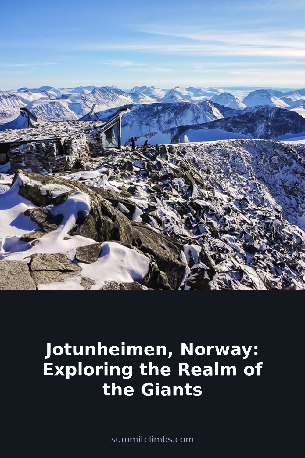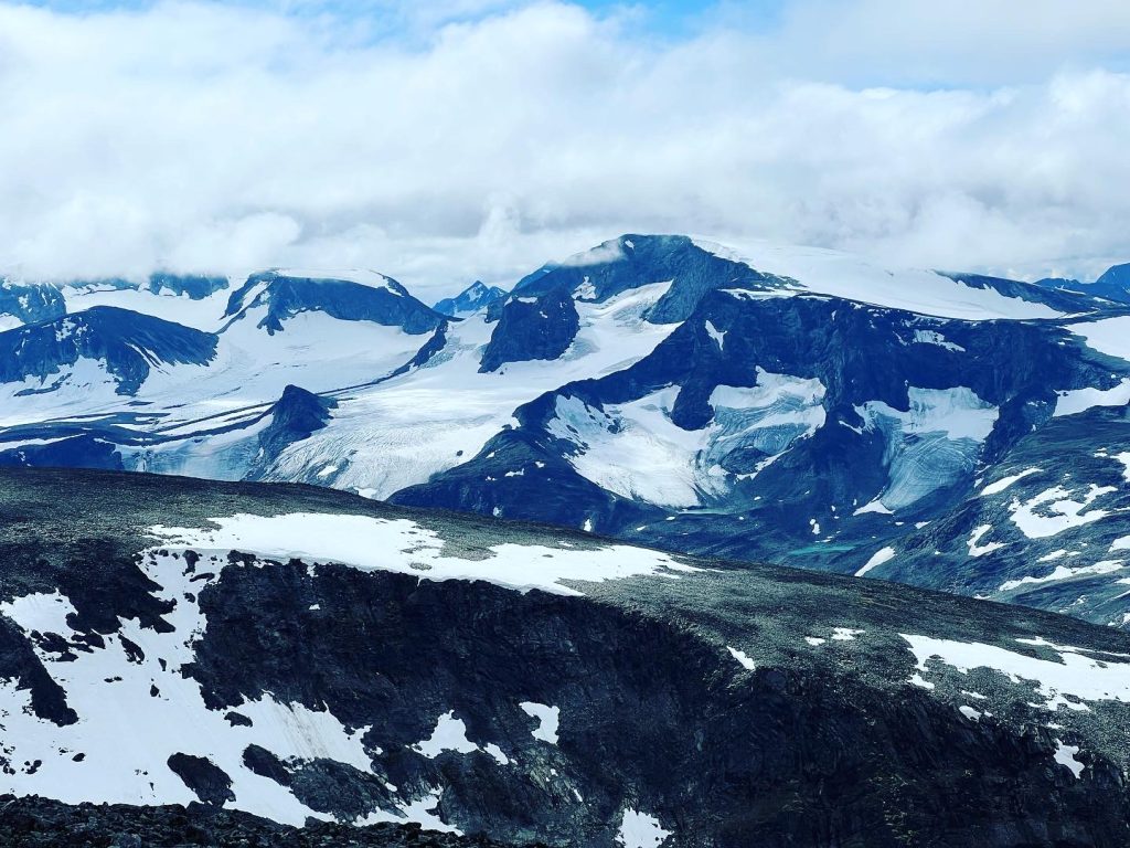
SummitClimbs Field Note: Jotunheimen is not a place you conquer. It is a place you move through with respect, good timing, and the right gear. This is Norway’s alpine core—home to the highest peaks in Northern Europe, active glaciers, and a trail network that demands real fitness and route sense. The name means “Home of the Giants,” and the landscape lives up to it. This article gives you the practical picture: what works, what doesn’t, and who should go.
Why This Place Belongs on a Norway Mountain Plan
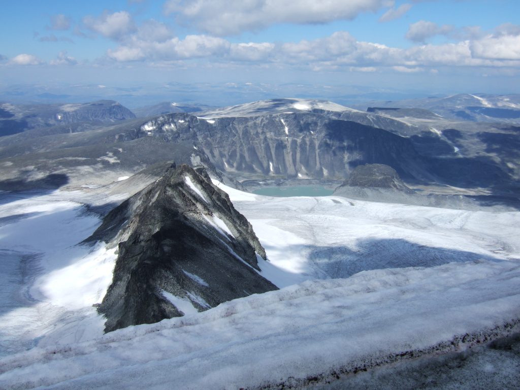
If you are building a Norway mountain itinerary, Jotunheimen is the logical anchor. It covers roughly 3,500 square kilometers across Innlandet and Vestland counties, sitting within the larger Scandinavian Mountains. Access is straightforward from Oslo or Bergen by bus or car, but once you’re inside the range, you are fully in alpine terrain. The region holds Galdhøpiggen (2,469 m), the highest summit in Northern Europe, and Glittertind (2,465 m), which was once considered taller due to its glacier cap. Other notable peaks include Store Skagastølstind (2,405 m), Store Styggedalstind (2,387 m), and Store Memurutinden (2,367 m). These are serious mountains, not walk-ups. Glaciers like Svellnosbreen and Smørstabbreen add technical challenge and beauty. The lakes—Gjende and Bygdin among them—are deep, cold, and stunning. This is a place for people who have already done their homework on alpine travel and want a genuine, demanding environment.
The SummitClimbs Snapshot
- Best for: Experienced hikers, mountaineers, and backcountry skiers. Not ideal for casual day-trippers seeking easy walks.
- Season: Summer (June–August) for hiking and glacier routes. Winter (December–March) for ski touring and snowboarding. Shoulder seasons are short and weather is unpredictable.
- Access: Buses from Oslo and Bergen to key trailheads. Car rental offers more flexibility. No permits needed for most hiking, but glacier crossings require a guide.
- Accommodation: DNT mountain huts with varying amenities. Camping allowed with strict Leave No Trace practices.
- Key hazards: Rapid weather changes, crevassed glaciers, river crossings, and limited daylight in winter.
- SummitClimbs verdict: A world-class alpine destination for those who respect its conditions. Not a place to learn mountaineering from scratch.
Route Reality and Local Conditions
The most famous route in Jotunheimen is the Besseggen Ridge. It runs between Gjende and Bessvatnet lakes, offering panoramic views that are genuinely spectacular. But it is not a casual stroll. The ridge is narrow in sections, exposed, and requires steady footing. The full traverse is about 14 km with around 1,100 m of elevation gain. Most fit hikers take 6–8 hours. The trail is marked but can be slippery after rain. Start early to avoid afternoon thunderstorms. This route suits people with solid hiking experience and good boots.
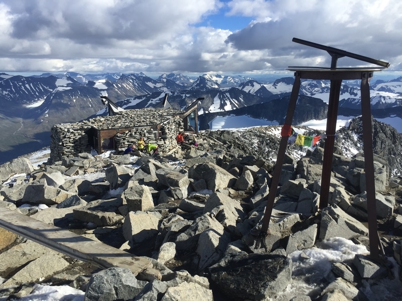
The ascent of Galdhøpiggen is the other classic. The standard route from Juvasshytta involves a glacier crossing, which means you need a guide and proper equipment—crampons, ice axe, rope. The climb is not technically difficult on good snow, but the glacier is crevassed and weather can close it quickly. The alternative route from Spiterstulen avoids the glacier but is longer and steeper. Both require good fitness and alpine awareness. Plan for 5–7 hours round trip from either starting point.
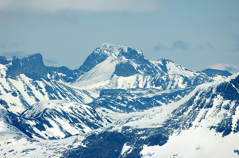
For mountaineers, the peaks in the Hurrungane massif—like Store Skagastølstind—offer rock and mixed routes that demand technical skill. These are not for beginners. Check local beta with DNT huts or guides before committing.
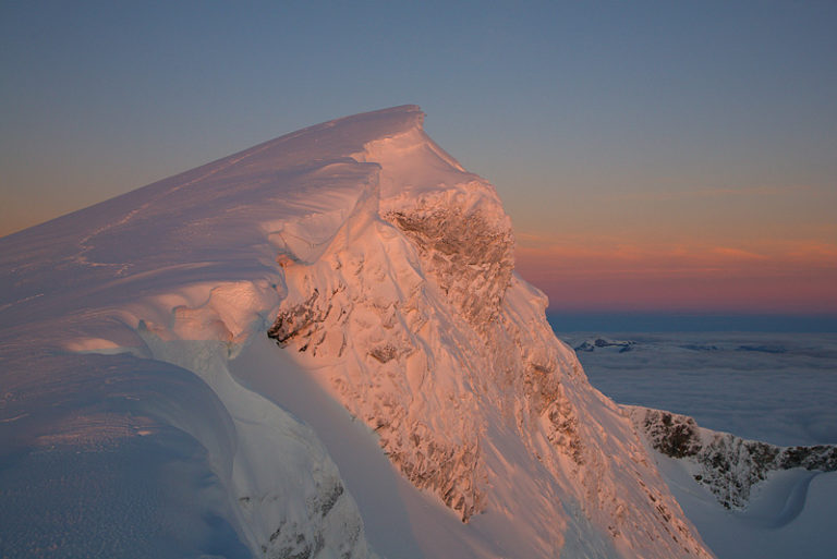
Winter conditions transform everything. Cross-country ski trails are well maintained, but backcountry ski touring is where the range really shines. Untouched powder, long descents, and challenging terrain. Avalanche risk is real. Carry a transceiver, probe, and shovel, and know how to use them. Guided tours are the smart choice for unfamiliar areas.
What to Watch For
Weather: This is the single biggest variable. Mountain weather in Jotunheimen changes fast. Clear skies can turn to rain, wind, and near-freezing temperatures in under an hour. Always check the forecast from yr.no or a local DNT hut before heading out. Carry waterproof layers and insulation even on a sunny morning.
Glacier travel: Do not walk on any glacier without a guide unless you have verified training and current route knowledge. Crevasses are hidden and can be lethal. The DNT hut network can connect you with certified guides.
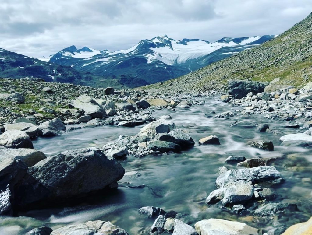
River crossings: Meltwater swells streams in late afternoon. Plan crossings for morning when water levels are lower. Use trekking poles for stability. If a crossing looks dangerous, turn back or find a safer point.
Navigation: Trails are marked with red Ts, but fog can reduce visibility to a few meters. Carry a map, compass, and GPS device. Phone reception is unreliable in valleys and absent on many ridges.
Wildlife: Reindeer, Arctic foxes, and wolverines inhabit the area. Keep your distance. Do not feed animals. Store food securely at night.
Conservation: Jotunheimen National Park covers about 1,151 square kilometers. Established in 1980, it protects fragile alpine ecosystems. Stay on trails, pack out all waste, and follow DNT hut guidelines for camping and fires. This is not negotiable.
The SummitClimbs Take
Jotunheimen delivers exactly what it promises: big, raw, alpine terrain that rewards preparation and punishes complacency. It is not a place for hype or casual tourism. The trails are honest, the weather is indifferent, and the peaks demand respect. But for those who come ready—with fitness, route knowledge, and proper gear—it offers some of the most compelling mountain travel in Europe. The Besseggen Ridge and Galdhøpiggen are justifiable classics. The deeper Hurrungane massif and winter ski terrain are for those who want more. Plan your trip around conditions, not convenience. Use the DNT hut network for local insight and safety. And above all, treat this landscape with the care it deserves. SummitClimbs will continue to cover specific routes and conditions here, but the first step is understanding the scale and seriousness of the place. Jotunheimen is not a checklist. It is a relationship.
Keep the Trails Alive
Summit Climbs is free — no ads, no paywalls, no sponsored fluff.
Every guide is written from real experience to help your next adventure.
If it helped, a small support means the world and keeps the site running.