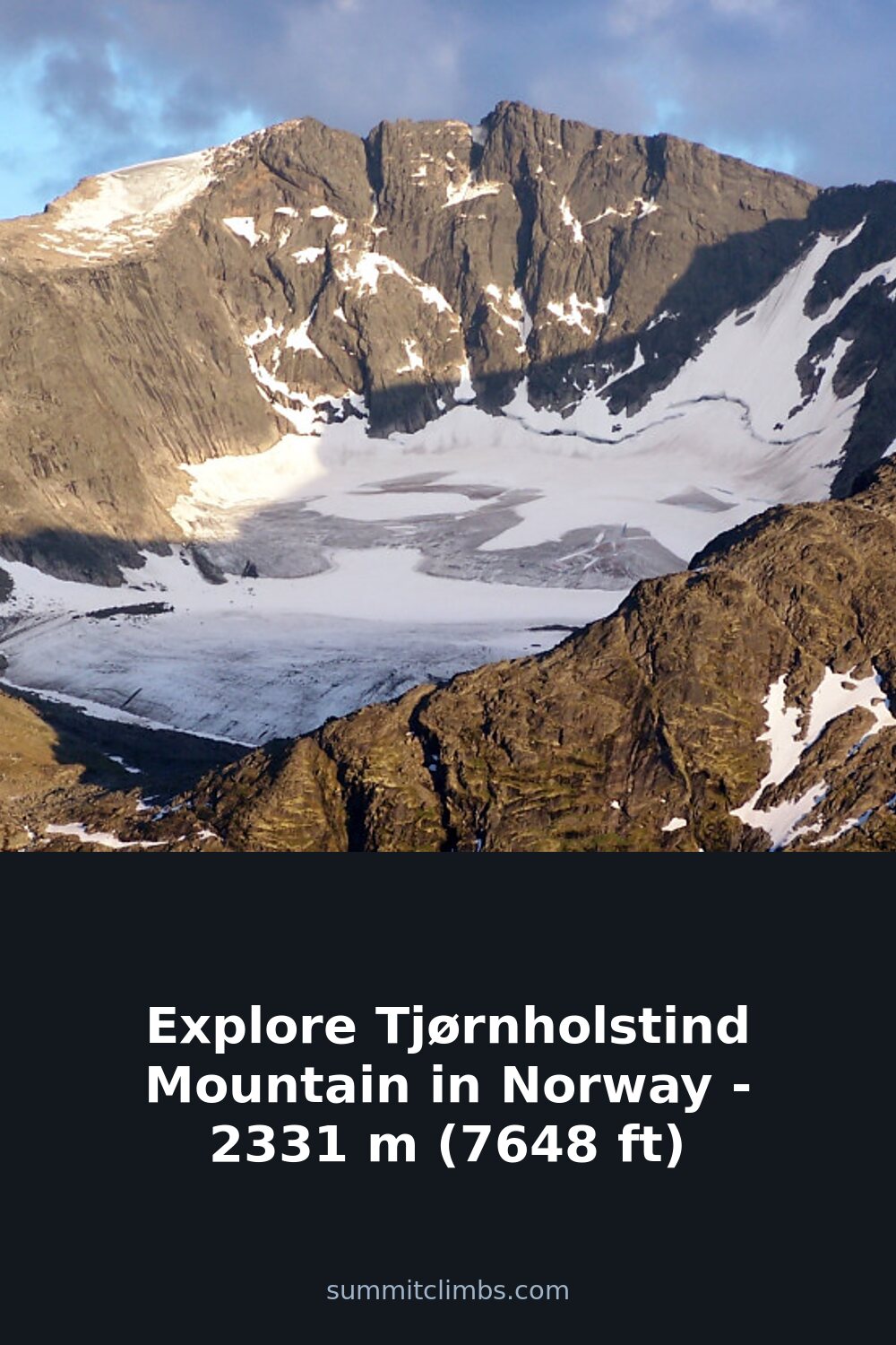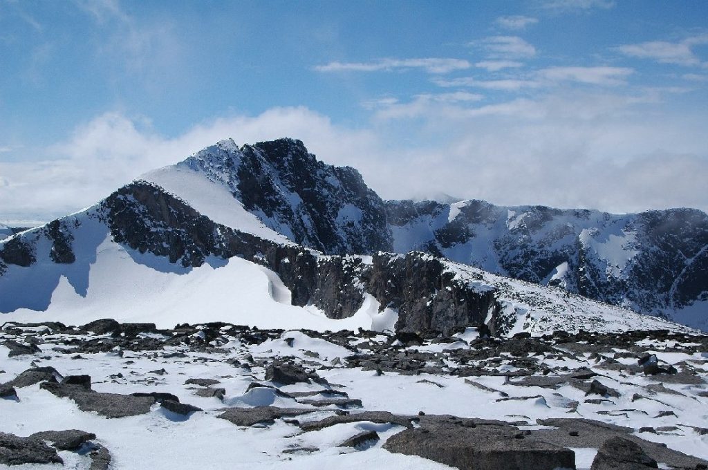
SummitClimbs Field Note: Tjørnholstind rises to 2331 m (7648 ft) in Vågå Municipality, deep inside Jotunheimen National Park. It is a clean, two-summit mountain with a narrow connecting ridge, and it sits roughly 50 km southwest of Vågåmo village and 25 km northwest of Beitostølen. The western summit is the higher of the pair; the eastern summit, named Steinflytind, stands at 2318 m (7605 ft). On the northern flank, a 400 m (1300 ft) vertical drop falls into the Nordre Tjønnholet glacier. The mountain is flanked by Bukkehåmåren, Høgdebrotet, and Eggi, and it lies south of Lake Gjende and north of the Leirungsdalen valley. Access is straightforward from both the west and east, but as always in Jotunheimen, weather and route choice define the day.
Why This Place Belongs on a Norway Mountain Plan
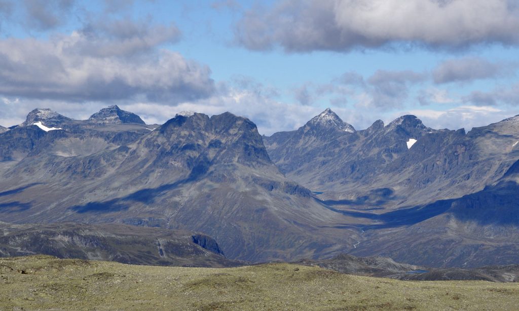
Jotunheimen is Norway’s alpine heart, and Tjørnholstind earns its place with a combination of clean lines, glacier-adjacent terrain, and a summit ridge that demands steady footing. The mountain is not a technical climb for experienced parties, but it offers a serious day out for fit hikers and scramblers who want to move efficiently above 2000 m. The proximity to Lake Gjende and the Leirungsdalen valley means you can base yourself in classic Norwegian mountain lodge country and still be on the summit by midday if you start early. The two-peak structure adds interest: you can bag both summits in a single outing, and the ridge between them gives a genuine sense of exposure without requiring ropes in good conditions. For anyone building a Norway itinerary that balances accessible summits with real mountain character, Tjørnholstind sits in a sweet spot between casual hiking and true alpine terrain.
The SummitClimbs Snapshot
- Height: 2331 m (7648 ft) – western summit; 2318 m (7605 ft) – eastern summit (Steinflytind)
- Location: Vågå Municipality, Jotunheimen National Park, Norway
- Access: ~50 km southwest of Vågåmo; ~25 km northwest of Beitostølen
- Surrounding peaks: Bukkehåmåren, Høgdebrotet, Eggi
- Key terrain features: Narrow summit ridge between two peaks; 400 m northern drop into Nordre Tjønnholet glacier; lies south of Lake Gjende and north of Leirungsdalen valley
- Best suited for: Fit hikers and scramblers with glacier awareness; parties comfortable on exposed ridge terrain without fixed ropes
- Season: Late June through September, depending on snow cover and glacier conditions
Route Reality and Local Conditions
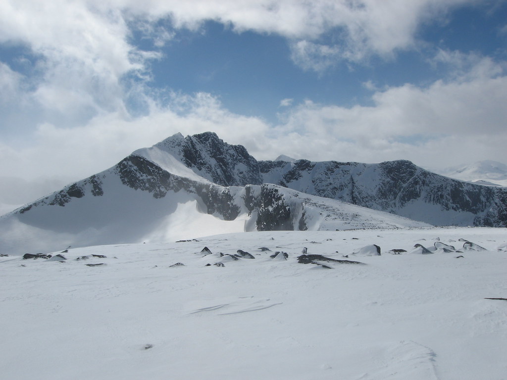
From both the west and east, the approach to Tjørnholstind is well-defined in good visibility. The mountain’s two peaks are connected by a narrow ridge that requires careful foot placement, especially when crossing between the western and eastern summits. The western summit at 2331 m is the primary objective for most parties, but the eastern summit, Steinflytind, is a worthy addition if you have the time and energy. The ridge between them is not a place for hesitation: it is narrow, exposed, and can hold snow late into the season, which changes the character of the scramble entirely.
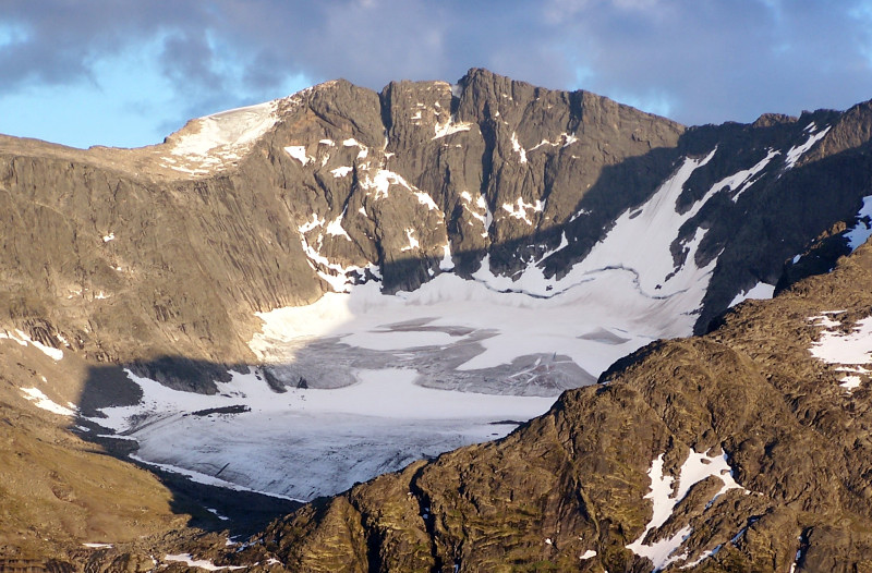
The northern side of the mountain drops steeply into the Nordre Tjønnholet glacier. This is not a route for casual descent. The glacier itself is crevassed and requires proper equipment and knowledge if you plan to approach from that direction. Most parties will ascend from the south or southwest, staying on rock and scree above the Leirungsdalen valley. The southern side of the mountain also has a gorge named Søre Tjønnholet, which can funnel cold air and hold snow patches well into summer. Check local conditions before committing to any specific line.
Access from the east is straightforward from the Beitostølen side, with well-marked trails leading into the national park. From the west, the approach from Vågåmo is longer but gives you a more remote feel. The lake Gjende to the north is a landmark that helps with navigation in clear weather, but be aware that cloud can close in quickly, obscuring the ridge and making route-finding difficult. Carry a map, compass, and GPS backup. The mountain is in Jotunheimen National Park, so follow all park regulations regarding camping, waste, and wildlife.
What to Watch For
- Glacier exposure on the north side: The 400 m drop into Nordre Tjønnholet is serious. Do not attempt to descend or traverse this flank without glacier gear and experience. The glacier is active and crevassed.
- Ridge conditions between summits: The narrow ridge connecting the western and eastern peaks can be icy or snow-covered, even in July. Assess conditions carefully before committing to the traverse.
- Two gorges with similar names: Nørdre Tjønnholet (north of the peak) and Søre Tjønnholet (south of the peak) are distinct features. Misidentifying them can lead to navigation errors, especially in poor visibility.
- Weather volatility: Jotunheimen is notorious for rapid weather changes. A clear morning can turn into an afternoon with zero visibility, wind, and rain or snow. Start early and be prepared to turn back.
- Route-finding on the approach: While the mountain is accessible from both west and east, the trails above treeline can be faint. Cairns may be present but are not guaranteed. Do not rely on a single navigation method.
- Late-season snow patches: The gorges and shaded slopes can hold snow well into August. These patches can be hard-packed and slippery, especially on steep sections.
The SummitClimbs Take
Tjørnholstind is a mountain that rewards preparation and respect for the terrain. It is not a beginner’s summit, but it is also not a climb that requires technical gear for the standard route in good conditions. The two-peak structure and the ridge between them give it a distinctive character that sets it apart from the more crowded peaks in Jotunheimen. If you are comfortable on exposed scrambles, have glacier awareness for the northern flank, and can navigate in variable visibility, this is a satisfying day out that delivers real alpine experience without the crowds.
At SummitClimbs, we recommend this mountain for parties who have already cut their teeth on easier Jotunheimen summits and are looking for something with a bit more edge. The proximity to Gjende and the lodges around Vågåmo and Beitostølen makes logistics simple, but the mountain itself demands your full attention. Go with a clear weather window, a solid plan, and the willingness to turn around if conditions shift. That is the mark of a good mountain day, and Tjørnholstind will give you exactly that.
Keep the Trails Alive
Summit Climbs is free — no ads, no paywalls, no sponsored fluff.
Every guide is written from real experience to help your next adventure.
If it helped, a small support means the world and keeps the site running.