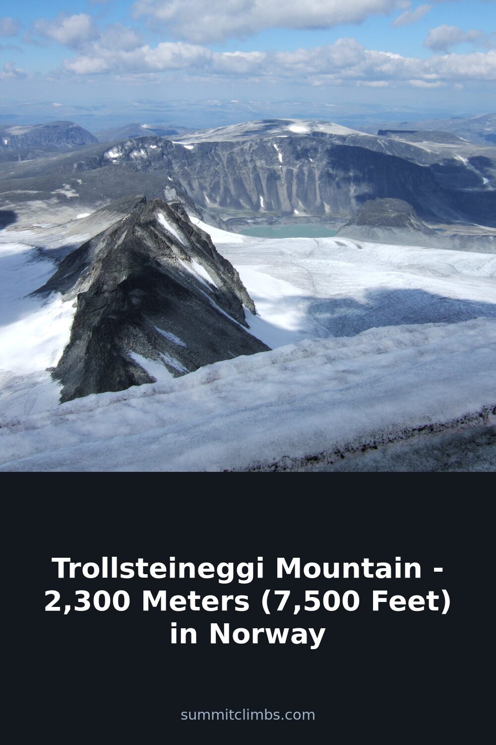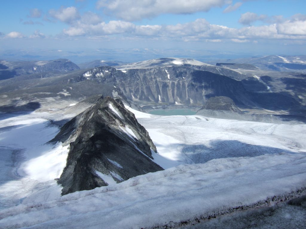
SummitClimbs Field Note: Trollsteineggi (also written Trollsteineggje) sits at 2,300 meters (7,500 feet) in Lom Municipality, ranking as Norway’s 22nd tallest mountain. It is a serious, grassy-backed alpine peak inside Jotunheimen National Park, and it demands respect for weather, navigation, and approach timing.
Why This Place Belongs on a Norway Mountain Plan
Most Jotunheimen itineraries fixate on Glittertinden and Galdhøpiggen. Trollsteineggi offers a quieter alternative with real alpine character. Its position—roughly 20 kilometers south of Fossbergom and 14 kilometers southeast of Elvesæter—places it in a cluster of notable peaks: Trollsteinrundhøe to the north, Grotbreahesten to the northeast, and Glittertinden itself to the south. For a party that has already bagged the big names and wants a day with less foot traffic, this mountain fits.
The terrain around Trollsteineggi is almost entirely grass-covered, which sounds gentle but can be deceptive. In wet conditions—and Jotunheimen gets plenty—grass slopes become slick, especially on steeper sections. The boreal climate here means cold, short summers and long winters with snow lingering well into July on shaded aspects. Plan your window carefully: late July through early September is your realistic season unless you are equipped for snow travel.
One practical advantage: the population density around the mountain is less than two people per square kilometer. That means solitude, but it also means no services, no marked trails in many places, and no quick rescue. This is not a place for casual day-trippers without navigation skills.
The SummitClimbs Snapshot
- Height: 2,300 m (7,500 ft) – Norway’s 22nd highest summit
- Location: Lom Municipality, Jotunheimen National Park
- Nearest settlements: Fossbergom (20 km north), Elvesæter (14 km northwest)
- Notable neighbors: Trollsteinrundhøe (N), Grotbreahesten (NE), Glittertinden (S)
- Terrain: Predominantly grass-covered slopes with exposed rock near the summit
- Climate zone: Boreal – cold summers, long winters, significant snowpack
- Best season: Late July to early September (weather dependent)
- What it is not: A marked tourist trail. Route-finding required.
Route Reality and Local Conditions
There is no single standard route up Trollsteineggi. Most approaches start from the valley south of Fossbergom or from the Elvesæter area, following old reindeer paths or streambeds before striking up the grass slopes. The key is gaining the broad, grassy ridge that leads to the summit. Once on the ridge, the angle eases, but the final summit block requires care—loose rock and occasional exposure on the last few meters.
Navigation is the biggest challenge. The grass slopes look uniform from a distance, making it easy to lose your bearing in mist or low cloud. Jotunheimen is notorious for rapid weather changes: a clear morning can turn into whiteout conditions by midday. Always carry a map (paper, not just phone), compass, and GPS backup. The mountain’s position relative to Glittertinden helps as a landmark, but only when visibility holds.
Snow patches persist on north-facing slopes through August. Crampons and an ice axe are not always necessary, but assess conditions before committing. If the snow is hard and steep, turn back or wait for softening. The grass itself becomes treacherous when wet—trail runners are not appropriate footwear here. Approach in sturdy boots with good edge grip.
Water is plentiful from melt streams in early season, but by late August many smaller streams dry up. Carry at least two liters; there are no refill points after you leave the valley floor. Camping is possible on the lower grass slopes, but open fires are prohibited in the national park. Use a stove and pack out all waste.
What to Watch For
Weather. This is not negotiable. Check yr.no or the Norwegian Meteorological Institute before starting, and be prepared to abort. Thunderstorms build fast in Jotunheimen afternoons. Lightning exposure on the open grass ridge is real. Start early—before 6 a.m.—to be off the summit by noon.
Route-finding. The approach from Fossbergom involves crossing the Bøvra river. In early summer, water levels can be high. Scout crossing points the evening before if possible. Do not attempt a crossing if water is above knee height and fast-moving.
Wildlife. Reindeer are common in the area. Give them space—especially during calving season (June–July). The grass terrain also hosts nesting birds; avoid disturbing them. No large predators are a concern, but store food securely to avoid attracting foxes or rodents.
Regulations. Jotunheimen National Park has strict rules: no mountain biking off roads, no drones without a permit, and camping allowed only at least 150 meters from cabins or trails. The mountain sits in a zone where motorized access is banned year-round. Approach on foot only.
Fitness. The elevation gain from the valley floor to the summit is roughly 1,100–1,300 meters depending on your starting point. That is a solid day out for fit parties. Allow 6–9 hours round trip. If you are not comfortable with sustained grade and off-trail navigation, choose a marked peak like nearby Glittertinden instead.
The SummitClimbs Take
Trollsteineggi is not a beginner’s peak. It rewards the experienced mountain traveler who values solitude over convenience and is willing to navigate unmarked terrain. The grass-covered slopes give it a distinctive character—less dramatic than the rocky faces of its neighbors, but with a subtle beauty that grows on you as the light changes over the vast Jotunheimen landscape.
We at SummitClimbs recommend it as a secondary objective for parties already comfortable with Norwegian mountain conditions. Pair it with a day on Glittertinden or use it as a training climb before tackling more technical peaks. But come prepared: good boots, full navigation kit, early starts, and a flexible attitude toward weather. The mountain will still be there tomorrow.
If you want a peak that feels earned rather than delivered, Trollsteineggi delivers. Just do not expect a path to the top. That is exactly the point.
Keep the Trails Alive
Summit Climbs is free — no ads, no paywalls, no sponsored fluff.
Every guide is written from real experience to help your next adventure.
If it helped, a small support means the world and keeps the site running.