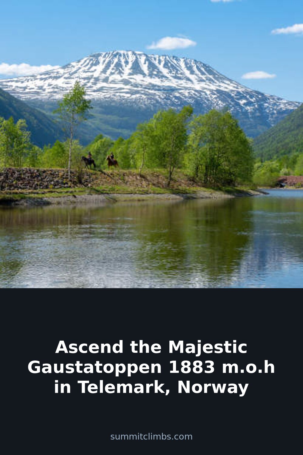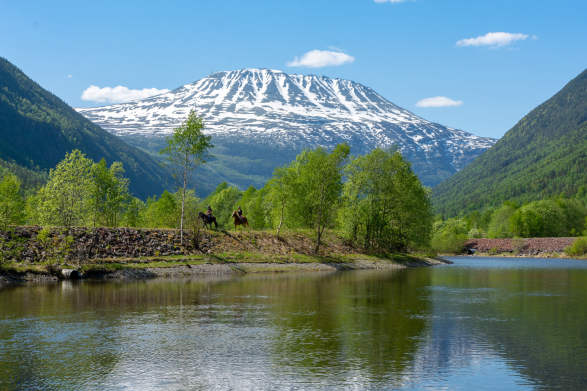
SummitClimbs Field Note: Gaustatoppen is not a secret. With over 120,000 hikers per year, this 1,883-metre peak in Telemark is one of Norway’s most visited mountains. The reasons are straightforward: it’s accessible from eastern Norway, the main route is wide and clear, and the summit rewards with a view that, on a clear day, covers roughly one-sixth of the country. But popularity does not mean trivial. Weather changes fast above treeline, and the final section is rocky. This is a peak for fit families and day-trippers who respect the basics: good boots, layers, and an early start.
Why This Place Belongs on a Norway Mountain Plan
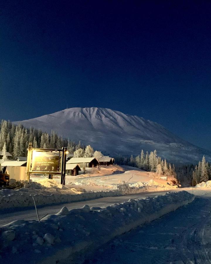
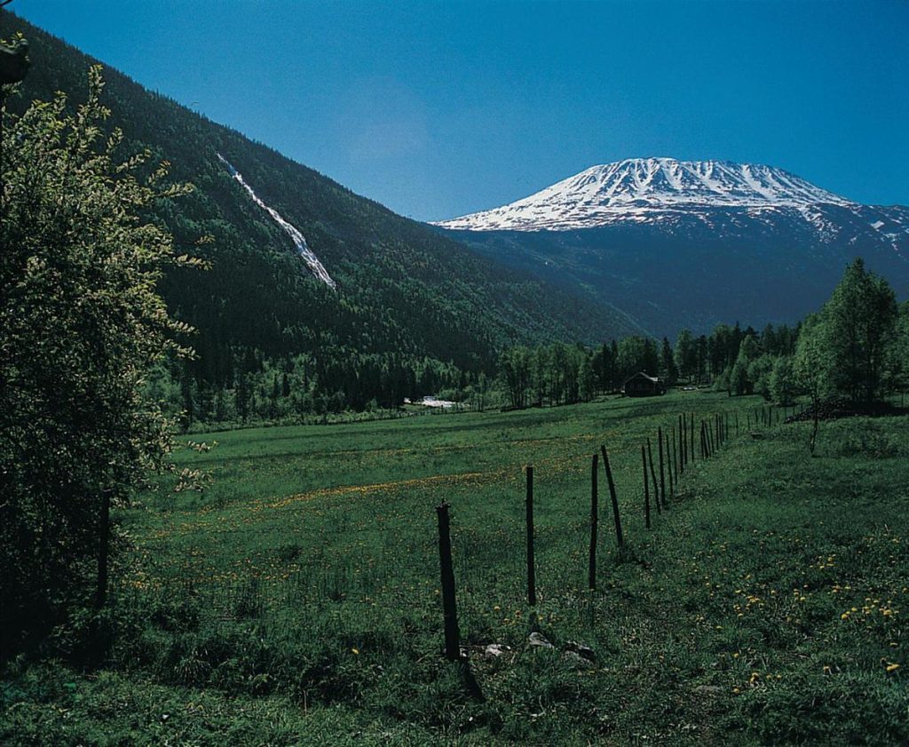
Gaustatoppen’s ridge is distinctive—white-striped, elongated, visible from large parts of southern Norway. It rises directly above Rjukan, a town with its own history and infrastructure. For anyone building a Norway mountain itinerary, this peak offers a rare combination: a summit that feels genuinely alpine, with a 360-degree panorama that stretches from the Hardangervidda plateau to the mountains of Buskerud and Oslomarka, yet requires no technical climbing. The path from Stavsro car park gains about 700 metres over roughly three hours up and two down. That’s a solid half-day outing, not a full expedition. It fits neatly into a broader Telemark trip, whether you’re based in Rjukan, Tuddal, or Gaustablikk.
The SummitClimbs Snapshot
- Height: 1,883 m (6,177 ft)
- Starting point: Stavsro car park, near Heddersvatn
- Elevation gain: Approximately 700 m
- Typical time: 3 hours up, 2 hours down at a normal pace
- Difficulty: Non-technical, but rocky near the summit; hiking boots recommended
- Suitability: Family-friendly for fit children used to hiking; not for first-time hikers in poor conditions
- Summit facilities: Gaustatoppen Turisthytte at 1,850 m — food, overnight lodging (book ahead), card-pay toilet
- Access: Car (parking at Stavsro) or bus to Rjukan, then taxi up to Stavsro
Route Reality and Local Conditions
The standard approach is from Stavsro, reached by road between Rjukan and Tuddal. The path is wide and well-trodden—no route-finding issues. The lower section is a steady gradient through birch and heath. As you climb, the vegetation thins and the ground becomes rockier. The final push is over broken stone; hiking boots give you the edge over trail runners here, especially when wet or icy. The Turisthytte at 1,850 m is a welcome waypoint. It offers hot food, shelter, and a place to sleep if you’ve reserved. The toilet is card-only—carry a backup if your phone battery is low.
The last stretch north along the ridge is the highlight. The exposure is moderate, but the drop-offs are real. Views open to Hardangervidda in the northwest, and on a clear day you can trace the serrated skyline of Telemark’s interior. The summit itself is a broad plateau, not a knife-edge, but wind can be fierce. Expect temperatures 10–15°C colder than the valley, and wind that can make standing up a challenge. Snow patches can linger into July on the north side.
What to Watch For
- Weather change: The mountain creates its own microclimate. Clear skies in Rjukan can mean cloud and wind on top. Check the forecast at yr.no and look for signs of incoming weather before you commit.
- Rocky summit section: The last 200 metres of elevation are over loose and uneven stone. Ankle support matters. Poles help with stability.
- Crowds: Peak season (July–August) and weekends see heavy traffic. Start early—before 8 a.m.—to have the summit to yourself and avoid afternoon thunderstorms.
- Navigation: The path is obvious, but fog can reduce visibility to 20 metres. Carry a map or GPS. The route is marked with cairns, but they can be hard to spot in mist.
- Accommodation: The Turisthytte requires advance booking. Camping is possible in designated areas, but the plateau is exposed. Plan for a day trip unless you’ve reserved a bed.
- Children: This is a family-friendly peak, but only for kids who are fit and accustomed to hiking. The 700 m gain and rocky finish will be a long day for younger or inexperienced walkers.
The SummitClimbs Take
Gaustatoppen earns its popularity honestly. It’s a genuine mountain day with a view that justifies the effort, and the infrastructure makes it safe for competent parties. But popularity also means you need to plan around crowds, and the rocky summit demands proper footwear. This is not a mountain to underestimate in bad weather—the wind and cold can turn a pleasant hike into a survival exercise. If you treat it with the same respect you’d give any alpine peak, you’ll understand why it’s called Norway’s most beautiful mountain. SummitClimbs rates it as a must-do for any Telemark itinerary, but only for those who come prepared.
Keep the Trails Alive
Summit Climbs is free — no ads, no paywalls, no sponsored fluff.
Every guide is written from real experience to help your next adventure.
If it helped, a small support means the world and keeps the site running.