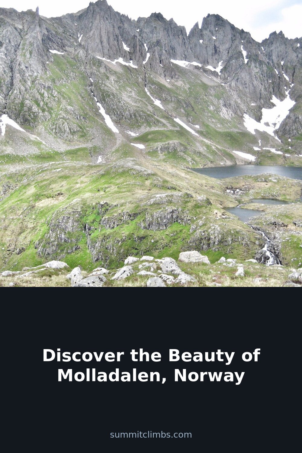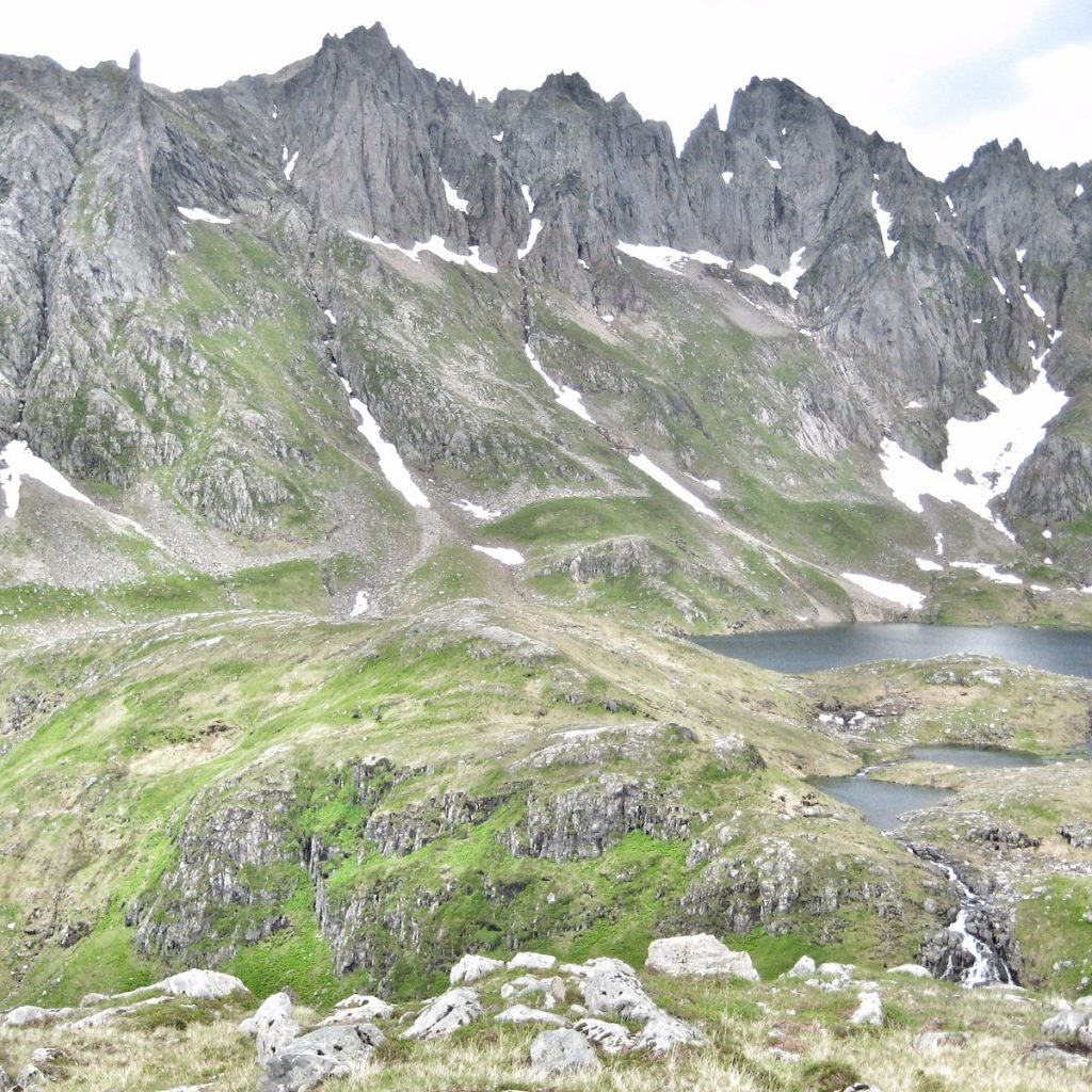
SummitClimbs Field Note: Molladalen is not a place you stumble into. It sits on the western flank of the Sunnmøre Alps, a valley that cuts deep and narrow, hemmed by walls that rise straight into the kind of terrain that demands respect. This is a valley for the walker who wants a quiet approach to bigger objectives, not for the casual sightseer. Access is straightforward if you know the system, but the ground underfoot changes fast with weather, and the gullies above are no place for inattention.
Why This Place Belongs on a Norway Mountain Plan
Most visitors to the Sunnmøre region fixate on the more famous peaks around Hjørundfjorden or the massifs near Ørsta. Molladalen offers something different: a contained, linear valley walk that delivers you into high alpine scenery without requiring a full-day commitment just to reach the trailhead. The valley itself is a corridor into the heart of some serious climbing terrain, including the approach to Kolåstinden, a summit that punches above its modest altitude in terms of exposure and views. If you are building a trip that balances lower-elevation hiking with genuine summit days, Molladalen fits as the quiet, practical link between them.
The SummitClimbs Snapshot
- Season: Late May through October. Snow lingers in the upper gullies well into June, and icy conditions on the chain section make early-season travel a judgment call.
- Duration: Allow roughly 2.5 hours from the car park to the upper valley. Full-day tours to summits like Kolåstinden add another 4–6 hours round trip from the valley floor.
- Distance and height gain: The marked path to Molladalen covers about 3 km with 570 meters of ascent (1,870 feet). That is a steady, unrelenting climb—no flat sections to recover on.
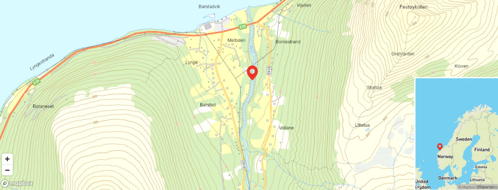
- Access: Drive or take the bus (check Fjord1 schedules) to Barstadvik. From there, a toll road follows Barstaddalen up to the car park at Melbøsætra or Barstadsætra. The toll is modest, but carry cash or a card that works in Norwegian automated payment systems.
- Starting point: The marked path begins at the car park. It is clear and well-trodden in summer, but do not rely on phone GPS alone—carry a paper map of the area.
- Further options: From Molladalen, a marked path continues over the shoulder to Ytre Standal. At Standalseidet, you will find Standalhytta (1,299 ft), a cabin that serves as a base for summit tours to Kolåstinden (4,698 ft) and other peaks in the ridge.
Route Reality and Local Conditions
The path from Melbøsætra climbs immediately. There is no warm-up, no gentle meander through birch woods to ease into the day. You gain elevation through a series of switchbacks that cross open slopes and small streams, and the gradient stays honest until you reach the valley floor. The surface is a mix of packed earth, rock, and root sections, and after rain it becomes slick underfoot. Trekking poles help, especially on the descent.
At the steepest point along the Molladalselva river, a chain has been fixed to the rock. This is not a via ferrata, but it is a handline for a short exposed section where a slip would have consequences. The chain is reliable, but check it before committing your full weight—corrosion and wear happen in this climate. When the rock is wet or icy, this section becomes genuinely dangerous. The local advice is clear: if conditions are icy, turn back or reroute. SummitClimbs echoes that. No summit or valley is worth a fall on a chain that you should not have trusted.
Once you reach the upper valley, the terrain opens. The river flattens, the walls pull back, and you can see the gullies that lead up to the ridges. This is where the real decision-making begins. The marked path continues to Standal, but if your goal is a summit, you will need to read the ground carefully. The gullies are obvious lines, but they are also natural chutes for rockfall and, in early season, wet snow slides. If you enter a gully, wear a helmet. This is not negotiable, especially if there are several people on the tour—dislodged stones travel fast and without warning.
What to Watch For
The chain section is the obvious pinch point, but the broader risk in Molladalen is the weather. This is a coastal valley, and the Atlantic sends systems through the Sunnmøre Alps with little notice. Clear morning skies can turn to low cloud and rain by midday, and the temperature drop at elevation is sharp. Pack for conditions ten degrees colder than the forecast suggests, and expect wind in the upper valley even when the car park is calm.
Water crossings are frequent in the lower section. After heavy rain, the streams rise quickly. The path is marked, but water can obscure the route. Cross early in the day when flows are lower, and never cross a stream that is above your knee unless you have a rope and a partner who knows how to use it.
Navigation in the upper valley is straightforward in clear weather, but if cloud drops, the terrain becomes featureless fast. The path to Standal is marked with cairns, but they can be hard to spot in mist. Carry a compass and know how to use it. Phone coverage is patchy at best.
Finally, respect the toll road. It is a narrow, gravel road with passing points, and local traffic uses it for access to farms and cabins. Drive slowly, pull over where it is safe, and park considerately at the top. The car park is small; arriving late in the morning during peak season may mean parking lower down and walking an extra kilometer.
The SummitClimbs Take
Molladalen is a valley that rewards competence over ambition. It is not a place for a casual stroll, but it is also not an expedition. The walk in is steep and sustained, the chain section demands steady nerves, and the gullies above require judgment and the right gear. For the prepared hiker, it is one of the most efficient routes into the high country of the Sunnmøre Alps, offering direct access to Kolåstinden and the ridge walks beyond. Standalhytta provides a solid base for a multi-day push, but even a single day in the valley, turning around at the upper basin, is a day well spent.
If you are building a Norway itinerary that values quiet, quality mountain time over ticking off famous names, put Molladalen on your list. Just go in with your eyes open, your boots laced tight, and a helmet in your pack for the ground above.
Keep the Trails Alive
Summit Climbs is free — no ads, no paywalls, no sponsored fluff.
Every guide is written from real experience to help your next adventure.
If it helped, a small support means the world and keeps the site running.