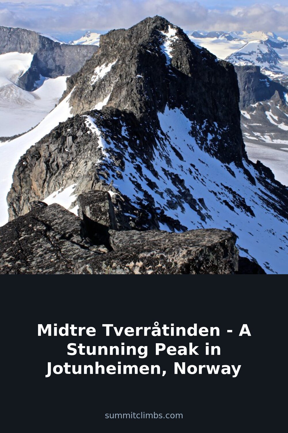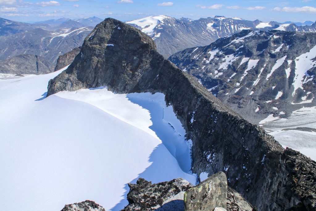
SummitClimbs Field Note: Midtre Tverråtinden sits at 2,302 meters in Lom municipality, ranking as Norway’s 20th highest summit. Its reputation among Jotunheimen regulars comes less from altitude and more from clean access: the standard route from Spiterstulen is direct, glacier-involved but manageable, and opens up a cluster of additional peaks for those with time and energy. This is not a wilderness epic—it is a well-traveled alpine day with real glacier terrain and real weather exposure. Know what you are stepping onto.
Why This Place Belongs on a Norway Mountain Plan
Jotunheimen has no shortage of big names—Galdhøpiggen, Glittertind—but Midtre Tverråtinden offers something those giants sometimes lack: a clear, logical line that rewards fitness without demanding extreme technical commitment. The starting point at Spiterstulen (1,100 meters) puts you in Visdalen, a classic U-shaped valley with good trail infrastructure and a mountain lodge that works as a base for several days. From there, the route follows the river Tverre, fed by the Tverråbreen glacier during summer melt, and climbs steadily toward the high country.
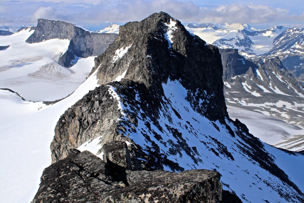
What stands out is the variety within a single day. You get moraine walking, a glacier crossing (or bypass), a ridge traverse, and summit views that take in the Svellnosbreen icefall, Styggehøe (2,213 meters), and the jagged profile of Storjuvtinden. For hikers who want to extend, Lindbergtinden (2,120 meters) sits as a natural detour off the main line. This is a mountain that works as a standalone objective or as part of a longer itinerary—and that flexibility is rare in peaks of this height.
The SummitClimbs Snapshot
- Location: Lom municipality, Jotunheimen National Park, Norway
- Elevation: 2,302 meters (20th highest in Norway)
- Starting point: Spiterstulen (1,100 meters) in Visdalen
- Route type: Glacier crossing, moraine traverse, ridge ascent
- Season: Late June to September for dry glacier conditions; winter crossings possible with ski gear and avalanche awareness
- Technical demands: Crampons and ice axe required for glacier sections in summer; rope team recommended for crevassed areas
- Additional peaks nearby: Lindbergtinden (2,120 m), Storjuvtinden (2,344 m), Svellnosbrehesten (2,181 m)
- Best suited for: Fit hikers with glacier travel experience or a guide; not a first alpine climb
Route Reality and Local Conditions
The standard line from Spiterstulen is well described but demands respect for its glacier sections. From the lodge, follow the river Tverre upstream, keeping the Svellnosbreen glacier on your right and the peak Styggehøe on your left. The initial ascent gains height gradually across open terrain—easy navigation in clear weather, but visibility can close in fast. After roughly two to three hours, you reach the first rise, Tverre, which marks the transition from valley floor to glacier apron.
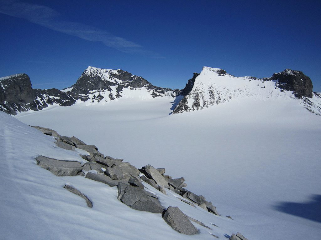
Here is where the route splits depending on season. In winter, you cross the Tverråbreen glacier directly—a straightforward snow traverse if conditions are stable. In summer, the glacier surface breaks into crevasses, and the wiser choice is to bypass along the lateral moraine on the right. Either way, you will arrive at Nedre Tverråbandet, a saddle that connects to the upper ridge. From this point, a short detour east leads to Lindbergtinden, a rocky summit that gives excellent views back over Tverråbreen and north toward Nørdre Illåbreen. It adds about an hour round-trip and is worth the extra effort if weather holds.
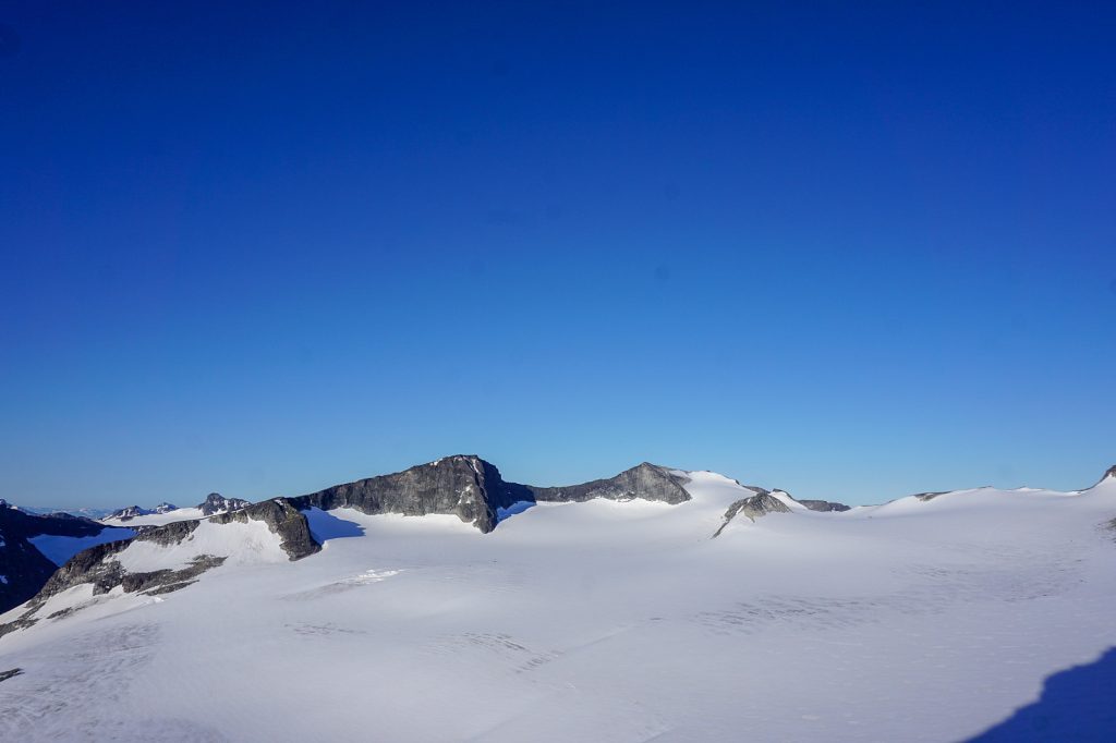
Continuing from Nedre Tverråbandet, the route trends southeast along the ridge toward Store Tverråtind. The incline is moderate but sustained, with some loose rock sections that require care on the descent. The summit ridge is narrow enough to feel exposed but wide enough for safe passage in dry conditions. At the top, the panorama opens: Svellnosbreen’s icefall to the south, the mass of Storjuvtinden to the east, and the long line of Jotunheimen’s high peaks stretching north and west.
What to Watch For
- Glacier condition changes rapidly. Tverråbreen is a living glacier. Crevasse patterns shift yearly, and summer melt can expose holes that were hidden weeks earlier. Check with Spiterstulen staff for current conditions before heading out. If you are not confident reading glacier terrain, hire a guide or join a group.
- Weather is the real gatekeeper. Jotunheimen weather can turn from clear to whiteout in under an hour. Rain, wind, and low cloud are common even in July. The route above the moraine has limited shelter, and navigation on the glacier requires good visibility. Turn around if conditions deteriorate—the summit will wait.
- Timing matters. From Spiterstulen, expect six to nine hours round-trip depending on pace, detours, and snow conditions. Start early—before 7 a.m. in summer—to avoid afternoon thunderstorms and to give yourself a margin for error on the descent.
- Route-finding on the moraine. The bypass around Tverråbreen is cairned but not marked continuously. Loose rock and scree sections require attention, especially on the return when fatigue sets in. Keep an eye on the line and check your map or GPS at key points.
- Extended options add commitment. If you plan to tag Storjuvtinden (2,344 m) and Svellnosbrehesten (2,181 m) after Midtre Tverråtinden, budget an additional three to four hours. The traverse involves steep snow slopes on Storjuvtinden’s south-east flank and a descent via Svellnosbreen. This is serious terrain—do not attempt without glacier experience and a rope team.
The SummitClimbs Take
Midtre Tverråtinden earns its place on a Jotunheimen itinerary because it balances genuine alpine challenge with approachable logistics. It is not a walk-up—the glacier crossing demands respect, and the weather can make or break the day—but for a fit party with basic glacier skills, it is a superb objective. The proximity to Spiterstulen means you can base yourself comfortably and choose your window of good weather. The option to add Lindbergtinden, Storjuvtinden, or Svellnosbrehesten turns a single summit into a full high-altitude traverse.
For first-time visitors to Jotunheimen, this is a peak to build toward, not a first-day warm-up. For experienced alpine hikers, it is a reliable day out that delivers big views without the crowds of the highest peaks. SummitClimbs recommends it for anyone comfortable with crampons, ice axe, and route-finding on glacier terrain—and for those who understand that in Jotunheimen, the mountain gives the conditions, and you bring the judgment.
Keep the Trails Alive
Summit Climbs is free — no ads, no paywalls, no sponsored fluff.
Every guide is written from real experience to help your next adventure.
If it helped, a small support means the world and keeps the site running.