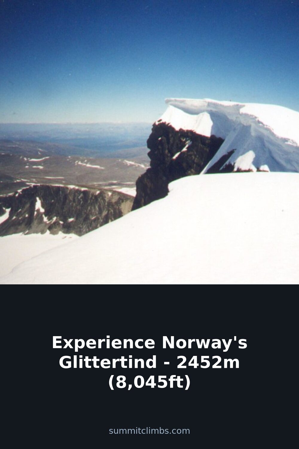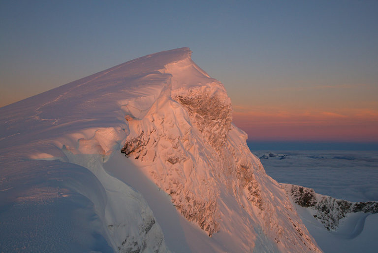
SummitClimbs Field Note: Glittertind is the second-highest summit in Norway, a serious but accessible day out in the heart of Jotunheimen National Park. At 2,452m (8,045ft) without its summit glacier, or 2,465m if you count the ice, it’s a peak that demands respect for weather, wet snow, and route timing—but rewards with wide, open views that few other Norwegian mountains can match. This is not a technical climb, but it is a long, exposed, and weather-dependent hike. Know what you’re walking into before you go.
Why This Place Belongs on a Norway Mountain Plan
Glittertind sits in the middle of Norway’s most famous mountain range, Jotunheimen, and it’s the one peak that gives Galdhøpiggen a real run for its money—historically, at least. For a time in the early 20th century, measurements showed Glittertind was actually taller, thanks to its summit glacier. The official map listed it at 2,481m in 1917. That debate is settled now, with Galdhøpiggen holding the crown at 2,469m, but Glittertind remains the second-highest, and for many, the more interesting objective.
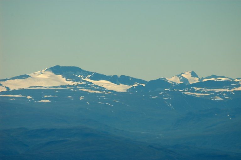
What sets Glittertind apart is its isolation. From the top, you can see vast stretches of northern and eastern Innlandet because there are almost no high peaks blocking the view to the east and southeast. That’s rare in Jotunheimen, where most summits are hemmed in by other ridges. The mountain also has a distinct character: a broad, glaciated dome that feels more like a high plateau than a sharp peak. The name comes from the river Glitra, which itself derives from an old verb meaning “to shine” or “spark,” and that fits the way the snow catches the low Arctic light.
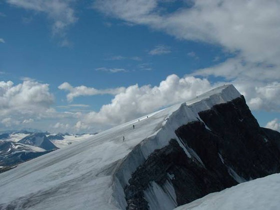
This is a mountain for hikers who want a genuine high-altitude day in Norway without needing ropes or crampons—but who also understand that “non-technical” does not mean “easy.”
The SummitClimbs Snapshot
- Height: 2,452m (8,045ft) without glacier; 2,465m (8,087ft) including summit ice
- Location: Lom municipality, Jotunheimen National Park, central Norway
- First recorded ascent: 1841 by Harald Nikolaj Storm Wergeland and Hans Sletten
- Standard approach: From Glitterheim hut (east, ~1,000m) or Spiterstulen hut (west, ~1,300m)
- Technical difficulty: Non-technical summer hike; glacier crossing is crevasse-free but requires awareness of wet snow and meltwater
- Season: Late June to September, weather-dependent
- Crowds: Popular—second only to Galdhøpiggen in the area
- Summit marker: No cabin; old one was blown off the summit and now sits on Grjotbreen glacier below the north face
Route Reality and Local Conditions
There are two main access points, and your choice determines the character of the day. The eastern route from Glitterheim hut is the most popular and the easier climb. Glitterheim sits at around 1,000m, but it’s inside Jotunheimen National Park, so you can only reach it on foot. That means a longer approach, but the hiking is straightforward and the gradient is steady. Most parties take two days: one to get to the hut, one for the summit, and a third to walk out.
The western route from Spiterstulen hut starts higher at about 1,300m and is shorter in distance, but it involves more exposed terrain and a longer stretch on the glacier. Spiterstulen is accessible by road, so you can drive to the trailhead. This is the better option if you have a single day and want to minimize approach time, but you’ll need to be comfortable with navigation in whiteout conditions and crossing the glacier in variable snow.
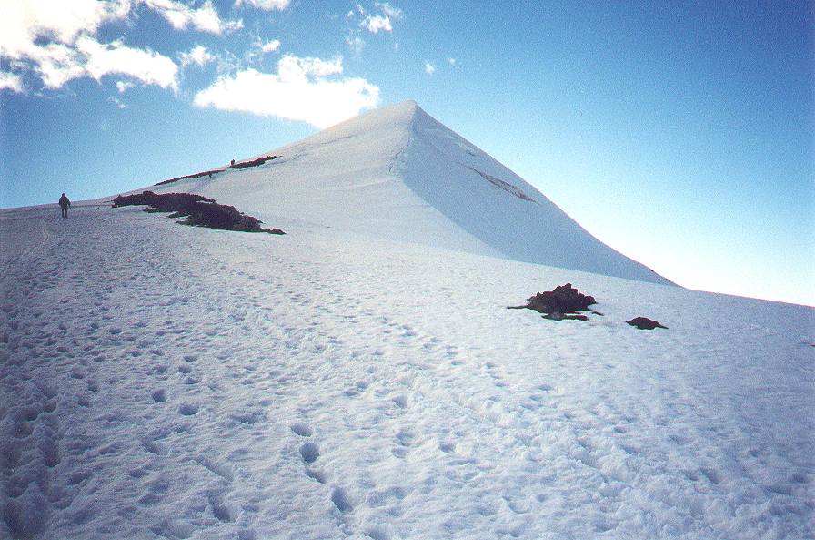
The glacier that caps Glittertind is completely crevasse-free in summer, which removes the need for rope teams and technical glacier gear. But don’t let that lull you into underestimating it. On hot summer days, the surface turns into a wet, slushy mess. You’ll be walking through ankle-deep melting snow, and the meltwater blowing over the peak can soak you through to the skin. This is not a dry summit. Plan for wet feet and a wet torso, even if the sky is clear.
The summit itself is a broad, flat dome. There’s no shelter and no cabin—the one that used to stand there was toppled by a storm and now rests on the Grjotbreen glacier under the steep northern face. The best views are to the east and southeast, where the terrain drops away into open valleys. Most photos you’ll see of Glittertind are taken from the east flank just below the summit, and for good reason—that’s where the light and the landscape work together.
What to Watch For
Weather is the main hazard. Jotunheimen weather can turn in under an hour. Clear skies at the hut can mean zero visibility and wind at the summit. Check the forecast obsessively, and be prepared to turn around. There is no shame in bailing on a mountain that has no shelter above 2,000m.
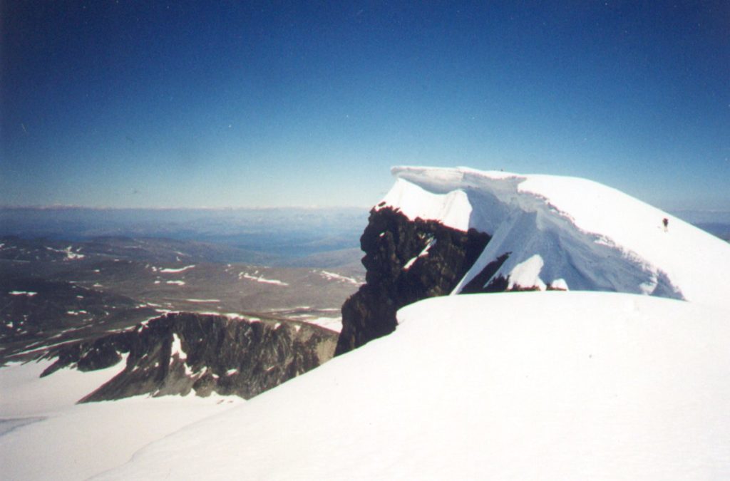
Wet snow and meltwater. The glacier surface is safe from crevasses, but the snow can be deep and slushy by midday. Start early to get firm snow underfoot, and carry waterproof boots and gaiters. A dry change of clothes in your pack is not optional.
Navigation. The route across the glacier is well-trodden in good weather, but in fog or cloud, it’s easy to lose the path. Take a map, compass, and GPS. Do not rely solely on other hikers or cairns.
Footwear. This is not a trail-runner summit. You need boots that can handle wet snow, loose scree, and the occasional patch of hard ice. Crampons are rarely needed, but some parties carry microspikes for early-season conditions.
Timing. The round trip from Glitterheim is a long day—figure 8 to 10 hours just for the summit push, plus the approach to the hut. From Spiterstulen, you can do it in a long day if you’re fit, but plan for 10 to 12 hours car-to-car.
Crowds. Glittertind is popular, second only to Galdhøpiggen in the region. If you want solitude, go midweek in late August or early September. July is busy, and the huts fill up.
The SummitClimbs Take
Glittertind is one of the best high-altitude hikes in Norway for the simple reason that it delivers big views without big technical demands. It’s a genuine 2,400m summit that you can reach with solid fitness, good planning, and a willingness to get wet. The historical rivalry with Galdhøpiggen adds a layer of interest, but the real draw is the summit itself: a broad, icy dome that feels like the roof of the country’s eastern interior.
That said, this is not a beginner mountain. The approach is long, the weather is fickle, and the glacier—though crevasse-free—can be a slog. If you’re new to Norwegian high-altitude hiking, consider starting with a lower summit like Besseggen or Knutshøe to build experience. If you’re ready for a full day above 2,000m with real exposure to the elements, Glittertind is a classic that earns its place on any SummitClimbs Norway plan.
Go early, go prepared, and don’t forget to look east when you get to the top. That’s where the mountain shows you what it’s made of.
Keep the Trails Alive
Summit Climbs is free — no ads, no paywalls, no sponsored fluff.
Every guide is written from real experience to help your next adventure.
If it helped, a small support means the world and keeps the site running.