SummitClimbs Field Note: Norway’s glaciers are not scenery—they are active, living ice that demand respect and planning. This list covers the country’s key glacier systems, with practical notes on access, route character, and who should consider each one. We’ve walked the moraines, sat through the weather, and talked with local guides. Here’s what we know.
Why This Place Belongs on a Norway Mountain Plan
Glacier travel is central to Norway’s mountain landscape. Whether you are linking peaks in Jotunheimen or crossing the Hardanger Plateau, ice is part of the terrain. The country holds the largest glacier in mainland Europe, plus dozens of smaller systems that offer everything from introductory walks to technical ice climbing. For any mountaineer building a Norway itinerary, understanding these glaciers means understanding the routes, the access windows, and the real limits of summer travel.
The SummitClimbs Snapshot
Here are the glaciers that consistently appear on SummitClimbs route logs and guide recommendations. We list them by scale and practical significance, not by tourist brochure appeal.
Jostedalsbreen
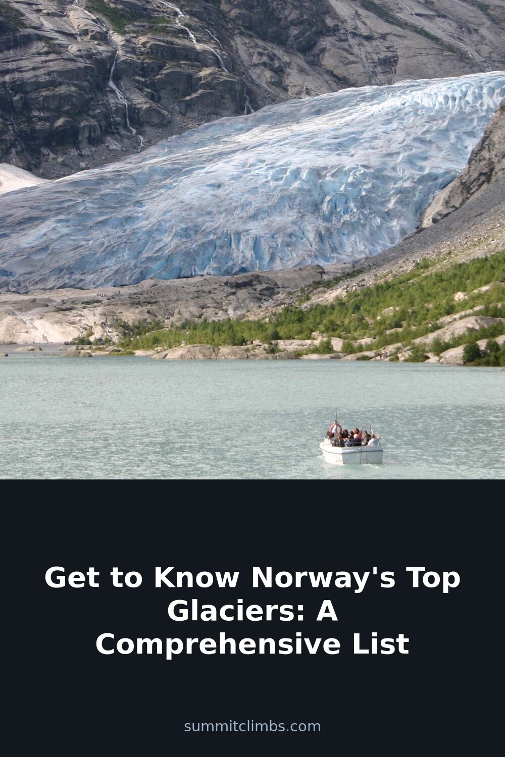
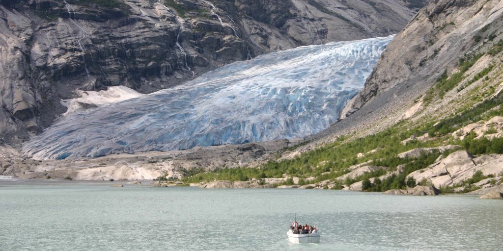
At 487 square kilometers, Jostedalsbreen is the largest ice cap in continental Europe. It sits west of the Jotunheimen range, between the Sognefjord and Nordfjord. The ice cap feeds multiple outlet glaciers, each with distinct access and difficulty. Nigardsbreen is the most visited—short walk from the parking area, guided hikes available, and a good introduction to crevassed terrain. Bøyabreen is steeper, with a lake at the tongue. Midtdalsbreen is less crowded and offers longer routes. For ice climbing, the seracs on Nigardsbreen’s lower section are reliable in July and August. Access roads are seasonal; check the status of the toll road to Nigardsbreen before driving.
Svartisen
Second-largest glacier in Norway, covering roughly 370 square kilometers, located just south of the Arctic Circle near the town of Mo i Rana. Svartisen is actually two ice caps: Vestre Svartisen and Østre Svartisen. Engabreen, an outlet of Vestre Svartisen, is the most accessible arm. The walk-in is moderate—about three kilometers from the boat dock across the fjord. The ice here is known for deep blue crevasses and a relatively gentle slope near the tongue. In winter, ski touring is possible. In summer, kayaking on the meltwater lakes below the glacier is common, but that is a separate skill set from glacier travel. SummitClimbs recommends this for mountaineers who want a northern ice experience without committing to Svalbard-level logistics.
Folgefonna
Folgefonna is a plateau glacier on the Folgefonna Peninsula, south of Bergen. It covers about 207 square kilometers. The ice cap has three main sections: Nordre Folgefonna, Midtre Folgefonna, and Søndre Folgefonna. The most practical access is from the Folgefonna National Park visitor center near Odda. The glacier is popular for summer skiing—the Folgefonna Ski Center operates a lift on the ice from May to September. For mountaineers, the crossing from Odda to the glacier’s high point is a long day with route-finding in whiteout conditions. The weather here is maritime: expect rain at the base and snow on the ice even in July. This is not a beginner glacier, but it is a good training ground for wet, low-visibility conditions.
Hardangerjøkulen
Located on the Hardanger Plateau, this glacier covers about 73 square kilometers and reaches 1,863 meters at its highest point. Hardangerjøkulen is the sixth-largest glacier in Norway, but it is one of the most important for mountaineers because it sits near the main east-west crossing routes across the plateau. The glacier is accessible from the town of Finse, which is reachable by train on the Bergen Line. The classic route is the traverse from Finse to the glacier’s summit, then descent via the Rembesdalsskåka outlet. This is serious terrain—crevasses are common, and the weather can shift from clear to storm in under an hour. Finse has a well-staffed tourist hut and a mountain lodge. SummitClimbs advises treating Hardangerjøkulen as a two-day objective unless you are moving fast and light with solid navigation skills.
Austerdalsbreen
Austerdalsbreen is an outlet glacier of Jostedalsbreen, but it deserves its own mention. It descends into the Austerdalen valley, east of the main ice cap. The approach is longer than Nigardsbreen—about a two-hour hike from the nearest road. The glacier is less frequented by guided groups, which means cleaner ice and fewer tracks. The lower section has a steep icefall with crevasses that shift annually. This is a glacier for experienced parties who want a quiet, technical day. The valley itself is spectacular, with granite walls on both sides. Camping is possible near the glacier snout, but there is no hut.
Route Reality and Local Conditions
Norway’s glaciers are maritime or continental in character, but all are affected by the North Atlantic drift. Summer melt starts in June, but the ice remains snow-covered on the upper plateaus until late July. Crevasses open as the snow melts, so August offers the most exposed ice—and the most technical challenge. By September, fresh snow can cover crevasses again, making route-finding hazardous.
Access roads are often narrow, gravel, and closed until late June. Parking at popular glaciers like Nigardsbreen and Engabreen fills by 10:00 in July. The boat to Engabreen runs on a schedule that changes with demand; check the local operator the day before. For Hardangerjøkulen, the train from Bergen or Oslo to Finse is reliable, but the station has limited services—bring food and fuel.
Guided glacier walks are available at Nigardsbreen, Bøyabreen, and Engabreen. These are suitable for fit hikers without prior glacier experience. For independent travel, you need crampons, an ice axe, a rope, and crevasse rescue skills. SummitClimbs recommends at least two days of glacier travel experience on other ice before attempting any of these without a guide.
What to Watch For
- Weather windows: Norway’s glacier weather changes fast. A clear morning can turn into a whiteout by midday. Always carry a GPS with pre-loaded waypoints and a compass. Do not rely on phone batteries.
- Crevasse patterns: On outlet glaciers, crevasses run perpendicular to flow. On plateau glaciers like Folgefonna, crevasses are less predictable—edges can be hidden under snow bridges. Probe frequently.
- Water crossings: Many approaches require crossing meltwater streams. These can rise rapidly in the afternoon as snow melts. Cross early in the day or use a bridge if available.
- Permits and fees: There are no fees for walking on glaciers in Norway, but parking at national park lots costs around 50–100 NOK per day. Guided trips require booking in advance, especially in July.
- Rescue services: The Norwegian Red Cross and local guide associations handle glacier rescues. Response time depends on weather and helicopter availability. Personal locator beacons are strongly recommended.
The SummitClimbs Take
Norway’s glaciers are not a checklist. Each one demands a specific approach, a weather plan, and a realistic assessment of your team’s skills. Jostedalsbreen is the most accessible for first-timers, but the crowds at Nigardsbreen can be distracting. Svartisen offers a northern wilderness feel with moderate logistics. Folgefonna and Hardangerjøkulen are serious objectives for mountaineers who want training ground for bigger ranges. Austerdalsbreen is the quiet, technical option for those willing to walk farther and carry more gear.
If you are building a Norway itinerary, start with one glacier and give it two days. Use the first day for approach and observation, the second for travel on the ice. SummitClimbs has route logs and gear lists for each of these glaciers in our archives. The ice is waiting—but it will not wait for poor preparation.
Keep the Trails Alive
Summit Climbs is free — no ads, no paywalls, no sponsored fluff.
Every guide is written from real experience to help your next adventure.
If it helped, a small support means the world and keeps the site running.