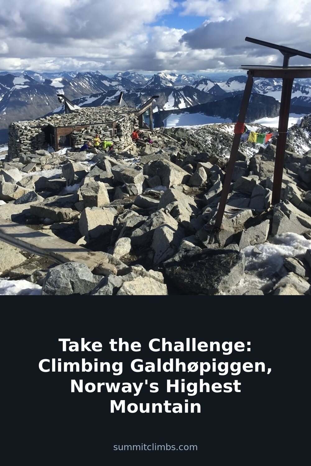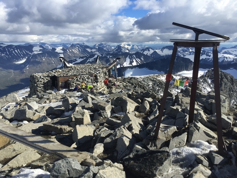
SummitClimbs Field Note: Galdhøpiggen, Norway’s highest point at 2,469 meters, is not a technical climb in the alpine sense, but it demands respect for weather, fitness, and route choice. This is a summit for walkers with strong legs and mountain sense, not for rope teams. The reward is a clear view over the Jotunheimen massif—a landscape that feels both ancient and immediate. Plan for a full day, start early, and treat the forecast as your primary navigation tool.
Why This Place Belongs on a Norway Mountain Plan
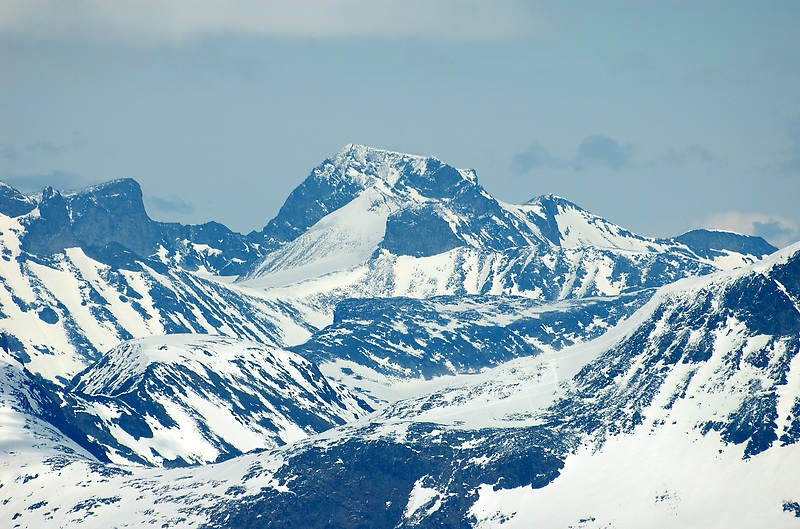
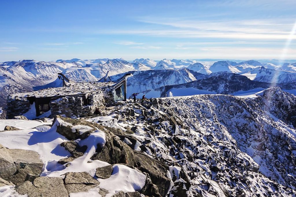
Norway’s mountain scene is vast, but Galdhøpiggen holds a distinct place. It is the roof of the country, a peak that draws walkers from across Europe who want a genuine high-altitude experience without committing to glacier travel or rock climbing. The terrain is open, rocky, and exposed—typical of the Jotunheimen range—and the summit itself is a broad, stony plateau where the wind often speaks louder than any person. This is not a place for casual day-trippers in trainers. It suits those who have already spent a season on hills, who know how to read a map in poor visibility, and who understand that Norwegian mountain weather does not negotiate.
The SummitClimbs Snapshot
- Height: 2,469 meters (8,100 feet)
- Region: Jotunheimen National Park, central Norway
- Season: Late June to early September; snow lingers into July on upper slopes
- Difficulty: Non-technical but strenuous; requires good fitness, steady footing, and weather awareness
- Access: From the Juvasshytta mountain lodge or the Spiterstulen route; both involve a glacier crossing on the Juvasshytta side
- Who it suits: Experienced hillwalkers, fit beginners with a guide, anyone comfortable with altitude and exposed ridges
Route Reality and Local Conditions
The most popular route begins at Juvasshytta, a lodge that sits at about 1,840 meters. This path crosses the Styggebreen glacier, which means crampons and a rope are mandatory unless you are with a certified guide. Many walkers opt for a guided group here, and that is a sensible choice—crevasses are real, and the glacier’s surface changes yearly. The ascent from Juvasshytta takes roughly three to four hours, with a steady climb over rock and snow. The final push to the summit is a steep, rocky slope that requires careful foot placement, especially in wet conditions.
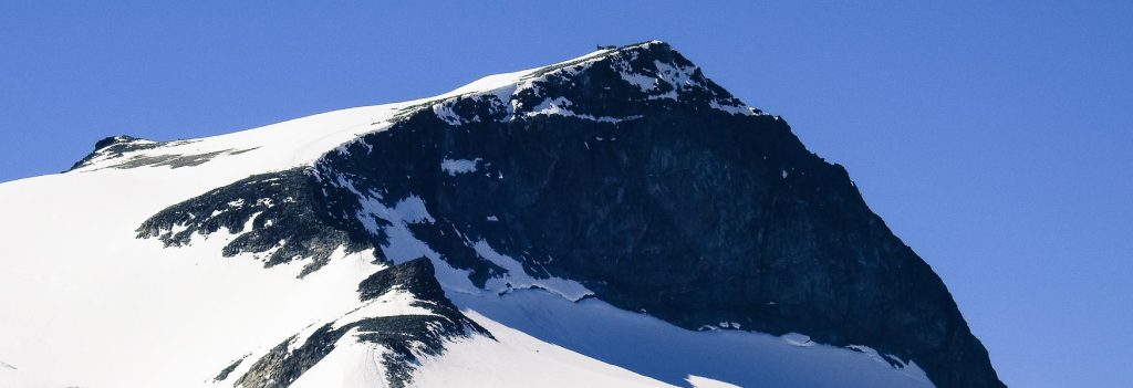
The alternative from Spiterstulen is longer but avoids the glacier. This route follows a valley and then a ridge, gaining height methodically. It is a solid day out—five to six hours up, with a descent that can feel endless on tired legs. Both routes converge near the summit, and neither is technically difficult, but both demand that you carry full mountain kit: windproof layers, spare insulation, food, water, a headlamp, and a map. Mobile reception is patchy at best. Do not rely on your phone for navigation.
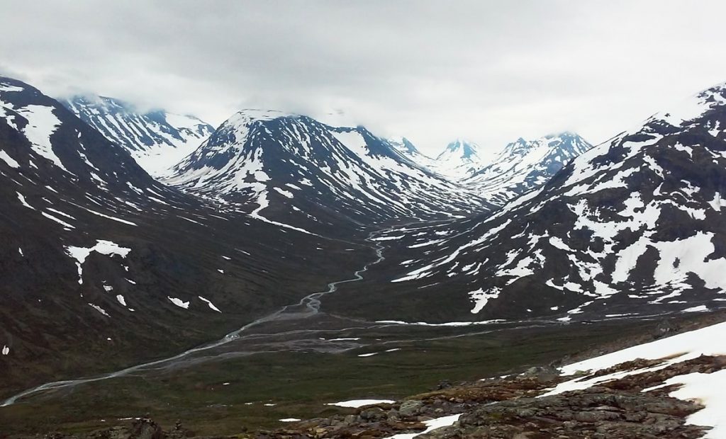
Conditions change fast. A clear morning can turn to sleet and zero visibility by midday. Snow patches persist well into August on the upper slopes, and the wind at the summit often exceeds 50 km/h even on calm days. If you are not comfortable moving on loose rock in a strong crosswind, reconsider your timing or hire a local guide. The Norwegian Trekking Association runs guided ascents from Juvasshytta throughout the season, and this is a reliable option for those new to the area.
What to Watch For
- Weather windows: Do not start if the forecast shows rain or high wind above 2,000 meters. The summit is exposed, and there is no shelter.
- Glacier travel: On the Juvasshytta route, you must cross Styggebreen. This is not optional. If you are not roped and experienced, take a guide.
- Footing: The upper slope is loose scree and boulders. Poles help, but you need ankle support and a solid boot. Approach shoes will not cut it.
- Altitude: At 2,469 meters, altitude effects are mild for most, but if you are coming from sea level, take it steady. Headache and shortness of breath are common.
- Crowds: July and August see hundreds of walkers daily. Start by 7 a.m. to avoid queues on the summit ridge and to have a margin for afternoon weather.
- Return timing: The descent takes at least as long as the ascent. Do not underestimate the toll on knees and focus. Plan to be back at the lodge or trailhead by late afternoon.
The SummitClimbs Take
Galdhøpiggen is a classic Norwegian mountain day, not a mountaineering prize. It rewards preparation, fitness, and humility. The views from the top—over the Jotunheimen peaks, the glaciers, the deep valleys—are genuinely memorable, but they are earned through steady effort and respect for the environment. This is not a climb for Instagram bravado; it is a walk that tests your judgment and your legs. If you go with the right gear, a realistic plan, and a willingness to turn back if the weather shifts, you will come away with a solid day in the mountains and a story worth telling. SummitClimbs rates this as a strong objective for anyone building a Norway hill itinerary, provided you treat it as a serious day out, not a casual stroll.
Keep the Trails Alive
Summit Climbs is free — no ads, no paywalls, no sponsored fluff.
Every guide is written from real experience to help your next adventure.
If it helped, a small support means the world and keeps the site running.