
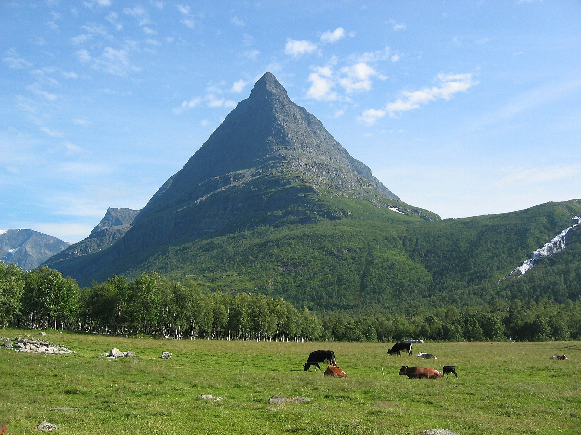
SummitClimbs Field Note: Innerdalstårnet (1,452 m), “the Tower”, is the pyramid-shaped peak above Innerdalen in Sunndal, Møre og Romsdal, nicknamed the Matterhorn of Norway and known nationwide as “Blåfjell” from the NRK Christmas series Jul i Blåfjell. From the Innerdalshytta hut, the route is about 9.6 km there and back, around 7 hours with 1,045 m of ascent, graded extra demanding. The top section is a steep scramble on granite, with exposed spots. A helmet is recommended, and don’t go in rain or just after it.
The Tower of Innerdalen
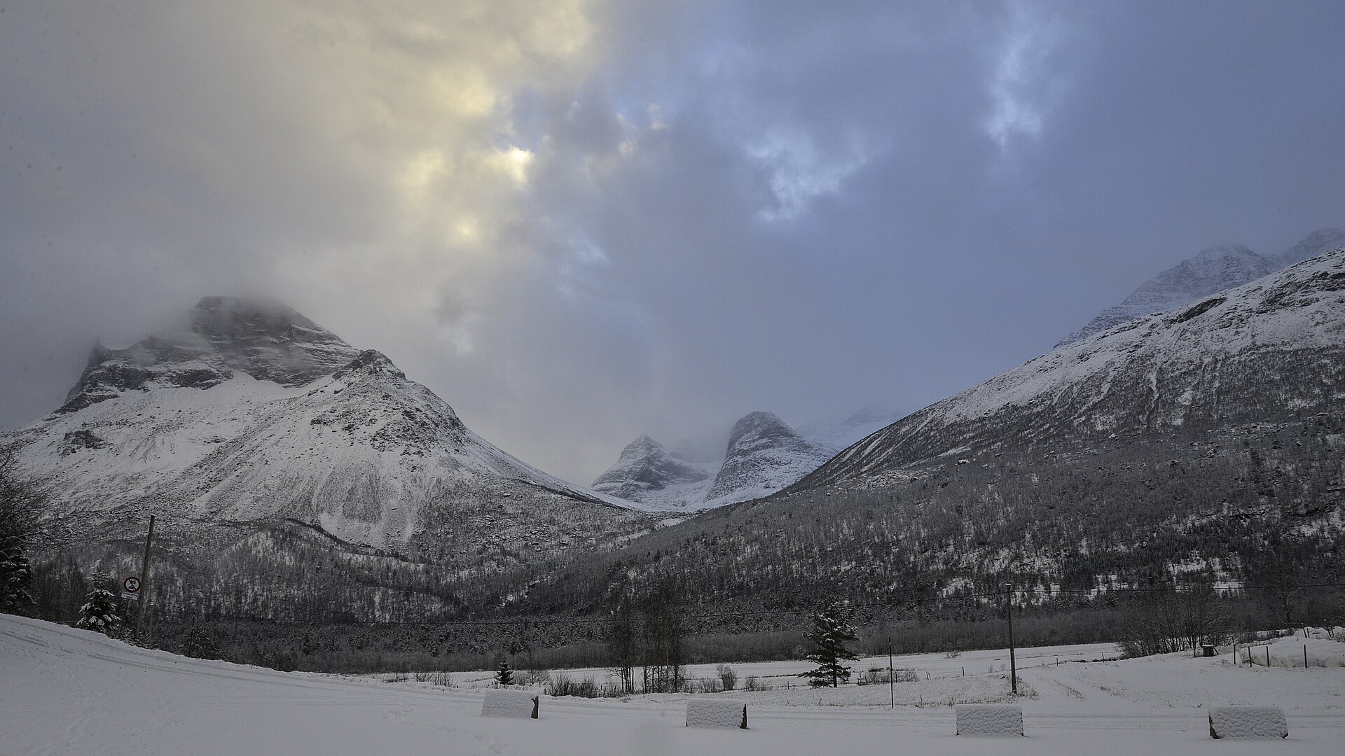
Innerdalstårnet stands on the south side of Innerdalen, right by Innerdalshytta, about 15 km southeast of Ålvundeidet. With Lilletårnet (1,344 m) it forms the northern end of the Tårn massif, which also includes Tårnfjellet (1,521 m), Tåga (1,840 m) and Såtbakkollen (1,632 m); Skarfjellet lies to the west across Storvatnet. On 11 August 1848 a landslide from the Tower hit the Giklingsetra summer farm, killing two dairymaids.
The valley itself is special. Innerdalen was protected in 1967 as Norway’s first landscape protection area, 73 km² stretching 25 km from Ålvundeid to Innerdalsporten, partly on the initiative of the local farmer Eystein Opdøl and the Norwegian Alpine Club, which probably prevented hydropower development. The Norwegian Trekking Association has had Innerdalshytta here since 1889, and the valley is a gateway to Trollheimen and a classic climbing area, with Trolla, Skarfjellet and the Tower itself.
Innerdalstårnet at a Glance
- Height: 1,452 m
- Location: Innerdalen, Sunndal, Møre og Romsdal; western Trollheimen
- Start: Innerdalshytta (405 m); car park at Nerdal Gård, about 4 km from the hut
- Distance: about 9.6 km out and back from the hut
- Time: about 7 hours
- Ascent: about 1,045 m
- Grade: extra demanding; scrambling and exposed sections; helmet recommended
- Season: June to September
- Climbing: several established rock-climbing routes
The Route From Innerdalshytta
Follow the marked path from Innerdalshytta up the valley, cross the bridge to the right over the river and head southwest across boardwalked bog to the steep path beside the river Fluo. After just over an hour you reach the high ground at Storvatnet (729 m), with a fine view back down to the huts and the Innerdalen lakes. The path continues along the north side of Storvatnet; after a few hundred metres it forks, and the second stage begins: a steep, unmarked but clearly visible path up to Tårnskaret, the sharp notch between the Tower and Tårnfjellet.
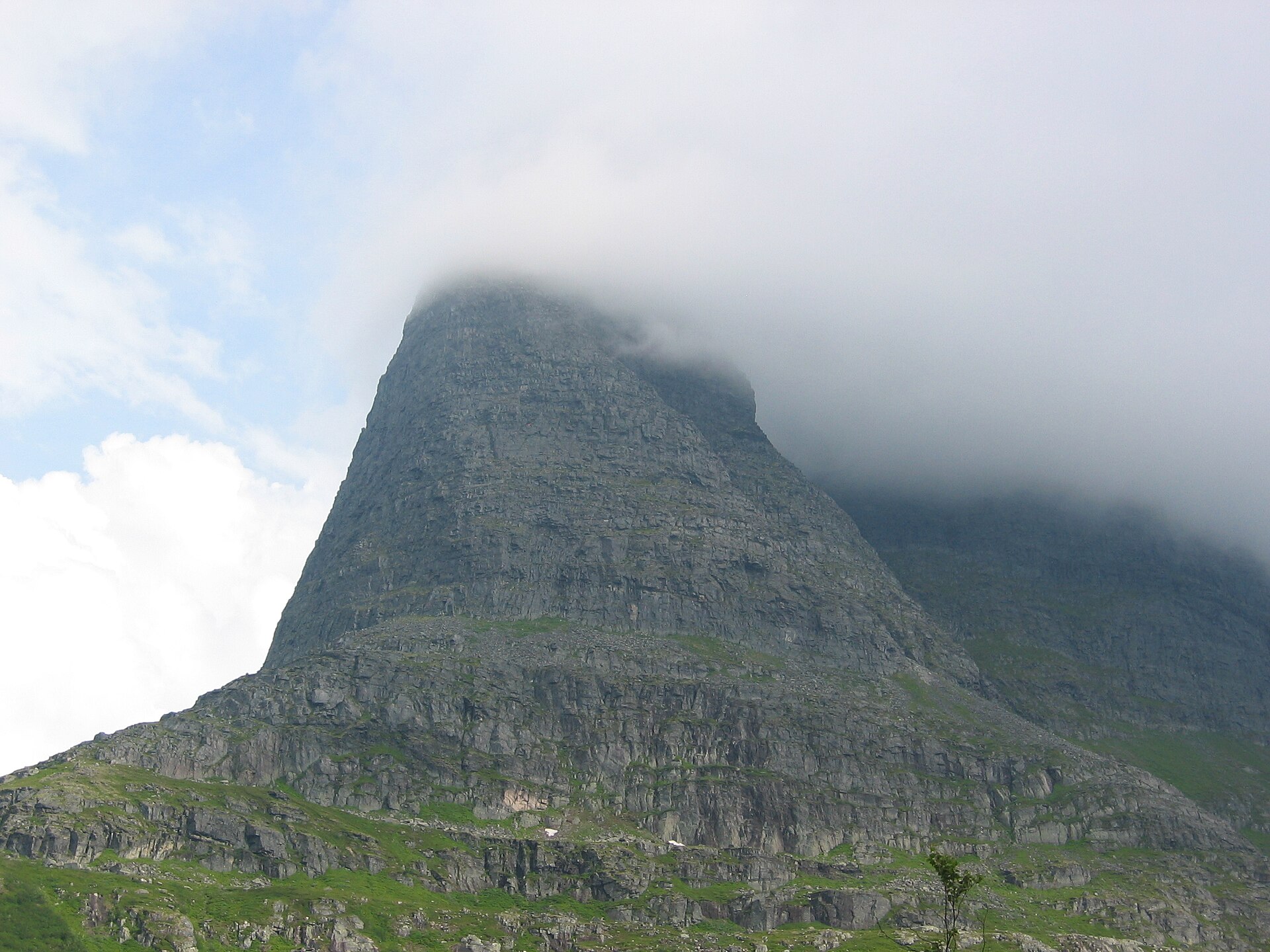
From the notch it looks steep, but the mountain is hard granite with solid holds. The way up is not well defined, and several lines are possible. The hardest part is a small slab about 50 m below the summit; an alternative is to crawl through a small cave a few metres to the left. Most people do it without ropes, but because it is steep and rocks can come loose, many wear a helmet, and some choose to rope up on the exposed sections. From the top you see Innerdalen with its huts and lakes, Giklingdalen, Skarfjell and the Trolla peaks, and north towards Snøfjell, Bjøråskaret and Skjerdingen. Return the same way.
Before You Go
- Stay at the hut: with 4 km from the car park to Innerdalshytta, a night at or near the hut saves energy for the Tower.
- Dry rock only: the ascent becomes dangerously slippery in rain or just after it.
- Rockfall: wear a helmet; loose stones are often knocked down by hikers above.
The SummitClimbs Take
Innerdalstårnet is Midt-Norway’s most legendary summit: a granite pyramid above Norway’s first landscape protection area, climbable for confident scramblers on a dry day. Sleep at Innerdalshytta, wear a helmet, and turn around at the notch if the final slab doesn’t feel right.
Route facts from the UT.no route to Innerdalstårnet; other facts from Norwegian Wikipedia (Innerdalstårnet), Innerdalen and Wikipedia.