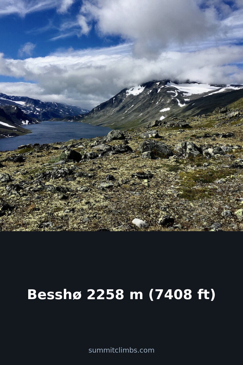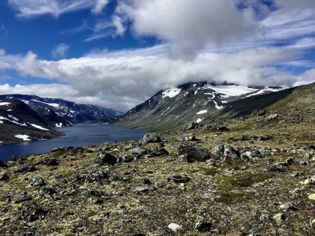
SummitClimbs Field Note: Besshø (2,258 m / 7,408 ft) sits squarely on the Besseggen ridge in Jotunheimen National Park, Vågå Municipality. It’s not the highest peak in the range, but its position—directly above the narrow Besseggen trail, between the turquoise Bessvatnet and the glacier-green Gjende—makes it a natural objective for hikers who want more than a ridge traverse. This is a mountain that rewards careful timing and clear skies, not reckless ambition. The summit offers a commanding view of two lakes at starkly different elevations (Gjende lies roughly 400 m lower than Bessvatnet) and a rare look at a small cirque glacier with an ice-cored moraine on its northeast side—a feature uncommon in Norway. Access is straightforward from the Besseggen trail, but the route requires route-finding sense and respect for the weather window. This is a day-trip summit for fit parties, not a casual walk.
Why This Place Belongs on a Norway Mountain Plan
Besshø earns its place because it sits on one of Norway’s most famous hiking routes without being overshadowed by it. Most people walk the Besseggen ridge from Gjendesheim to Memurubu (or the reverse) and never look up. But the summit of Besshø is a short, steep detour that transforms a scenic ridge walk into a proper mountain day. From the top, you get a 360-degree panorama that includes Kollhøin to the north, Veslfjellet and Besseggen to the southeast, Bukkehåmåren and Eggi to the south, and Gloptinden to the west. The color contrast between Bessvatnet (a standard blue) and Gjende (a vivid green from glacial rock flour) is stark and memorable, especially in late afternoon light. For anyone building a Jotunheimen itinerary, Besshø is a logical add-on—it’s accessible, it’s technical enough to feel like a summit, and it doesn’t require a full expedition. It also sits about 48 km southwest of Vågåmo and 28 km northwest of Beitostølen, making it reachable from either side of the park.
The SummitClimbs Snapshot
- Height: 2,258 m (7,408 ft)
- Location: Besseggen ridge, Jotunheimen National Park, Vågå Municipality
- Nearest settlements: Vågåmo (~48 km southwest), Beitostølen (~28 km northwest)
- Key feature: Small cirque glacier with ice-cored moraine on the northeast side
- Best for: Fit hikers wanting a summit detour from the classic Besseggen traverse
- Grading: Demanding day hike; some exposed scrambling
Route Reality and Local Conditions
The standard approach to Besshø starts from the Besseggen trail, which itself is a point-to-point route between Gjendesheim and Memurubu (or vice versa). To reach the summit, you leave the ridge at the high point of the Besseggen traverse—roughly where the trail crests above Bessvatnet—and head northeast on a well-worn but unmarked path. The climb is steep, with loose scree in sections, and takes about 1–1.5 hours from the ridge. Total round-trip from Gjendesheim (including the ridge approach) is around 6–8 hours, depending on pace and conditions.
The key decision is timing. The Besseggen trail is crowded in July and August, and the summit of Besshø is exposed to wind and sudden weather changes. Start early—before 7 a.m.—to avoid the midday crowds and the afternoon thunderstorm risk common in Jotunheimen. Snow can linger on the upper slopes well into July, especially on the northeast face near the glacier. While the glacier itself is small and rarely a hazard for experienced parties, the ice-cored moraine around it is fragile; do not walk on it. Stick to rock and snow.
Navigation is straightforward in clear weather—the summit is visible from the ridge—but visibility can drop to zero in minutes. Carry a map, compass, and GPS backup. The route does not require technical climbing gear, but hiking poles and sturdy boots with good ankle support are non-negotiable. The descent follows the same line; do not attempt shortcuts through the moraine or glacier.
What to Watch For
- Weather: Jotunheimen is notorious for rapid changes. Check the forecast at yr.no before departure and be prepared to turn back if wind exceeds 15 m/s or visibility drops below 200 m.
- Crowds on Besseggen: The main ridge trail is a highway in summer. SummitClimbs recommends a midweek start to avoid the worst of it.
- The glacier and moraine: The northeast cirque glacier is small but real. The ice-cored moraine is a rare geological feature—do not disturb it. Stay on rock and snow.
- Water: There is no reliable water source on the summit block. Carry at least 1.5 liters per person, more in hot weather.
- Fitness: This is not a beginner summit. The total elevation gain from Gjendesheim is around 1,100 m, with sustained steep sections. Train with loaded daypacks on uneven terrain.
- Wildlife: Reindeer and arctic fox are common in the area. Keep a respectful distance and never feed them.
The SummitClimbs Take
Besshø is a summit that rewards the extra effort without demanding an epic. It’s a natural extension of the Besseggen traverse—a chance to stand above the ridge and see the landscape the way the early surveyors did. The views are exceptional, the route is honest, and the glacier-moraine combo adds a layer of interest that most Jotunheimen peaks lack. That said, it’s not a place for casual hikers or those short on time. The weather window is narrow, the exposure is real, and the crowds on Besseggen can be a distraction. If you’re building a Norway mountain plan and want a day that combines a classic ridge walk with a genuine summit, Besshø fits the bill. Go early, go prepared, and leave the moraine untouched. That’s the SummitClimbs way.
Keep the Trails Alive
Summit Climbs is free — no ads, no paywalls, no sponsored fluff.
Every guide is written from real experience to help your next adventure.
If it helped, a small support means the world and keeps the site running.