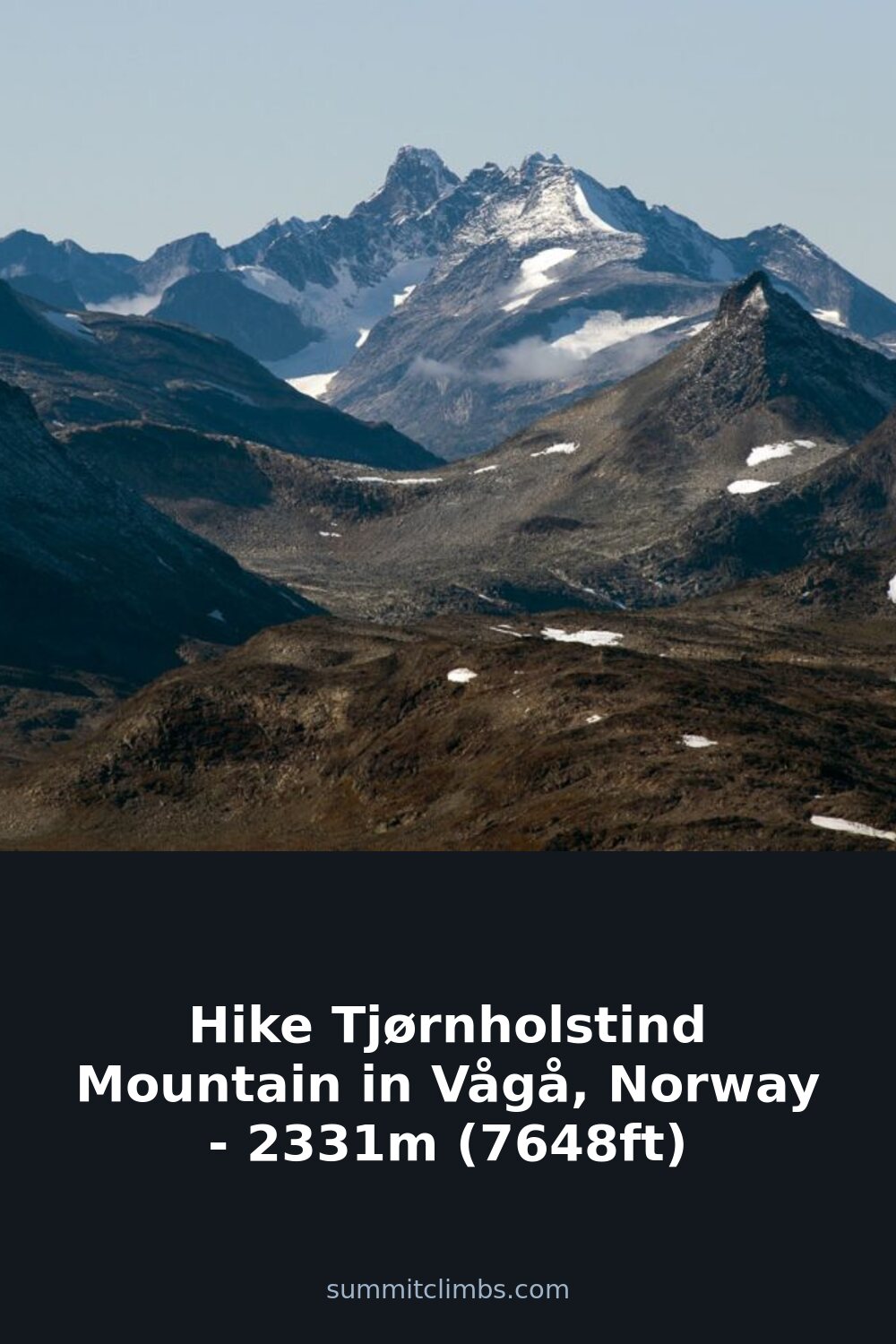
SummitClimbs Field Note: Tjørnholstind sits in the heart of Jotunheimen National Park, a 2,331-meter (7,648-foot) peak that delivers a straightforward ascent for experienced hikers. It’s not a technical climb, but the exposed ridge between its two summits demands a steady head and good weather. This is a mountain for those who want a long day with rewarding views, not a scramble into the unknown.
Why This Place Belongs on a Norway Mountain Plan
If you’re building a Jotunheimen itinerary, Tjørnholstind earns a slot for its accessibility and twin-summit payoff. The mountain rises south of Lake Gjende, a key landmark in the park, and north of the Leirungsdalen valley. Its position puts you within striking distance of other notable peaks—Bukkehåmåren, Høgdebrotet, and Eggi to the northeast, Rasletinden to the southeast, and Tjønnholsoksle to the south. That means you can link routes or use Tjørnholstind as a standalone objective on a clear day.
The mountain sits about 50 kilometers southwest of the village of Vågåmo and roughly 25 kilometers northwest of Beitostølen. Both serve as practical access points, though the approach from the west or east is straightforward. The terrain here is classic high-alpine Jotunheimen: bare rock, residual snow patches late into summer, and a horizon stacked with ridges. It’s not a place for beginners, but it’s not a place that forces you into a guidebook either.
The SummitClimbs Snapshot
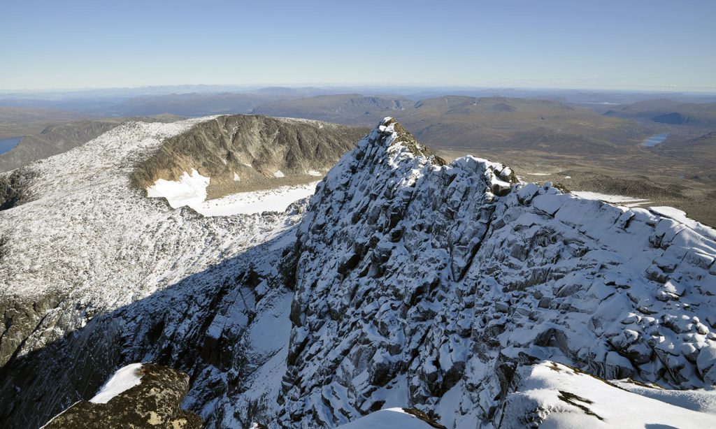
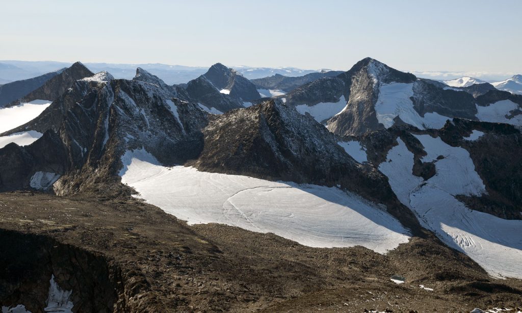
Two peaks define Tjørnholstind. The western summit is the higher one at 2,331 meters, while the eastern summit—named Steinflytind—reaches 2,318 meters (7,605 feet). A narrow ridge connects them, and that ridge is the crux of the day. It’s not a knife-edge, but it’s exposed enough that wind and visibility matter. In calm conditions, you can traverse both peaks in a few hours. In a gust, you’ll want to reconsider the crossing.
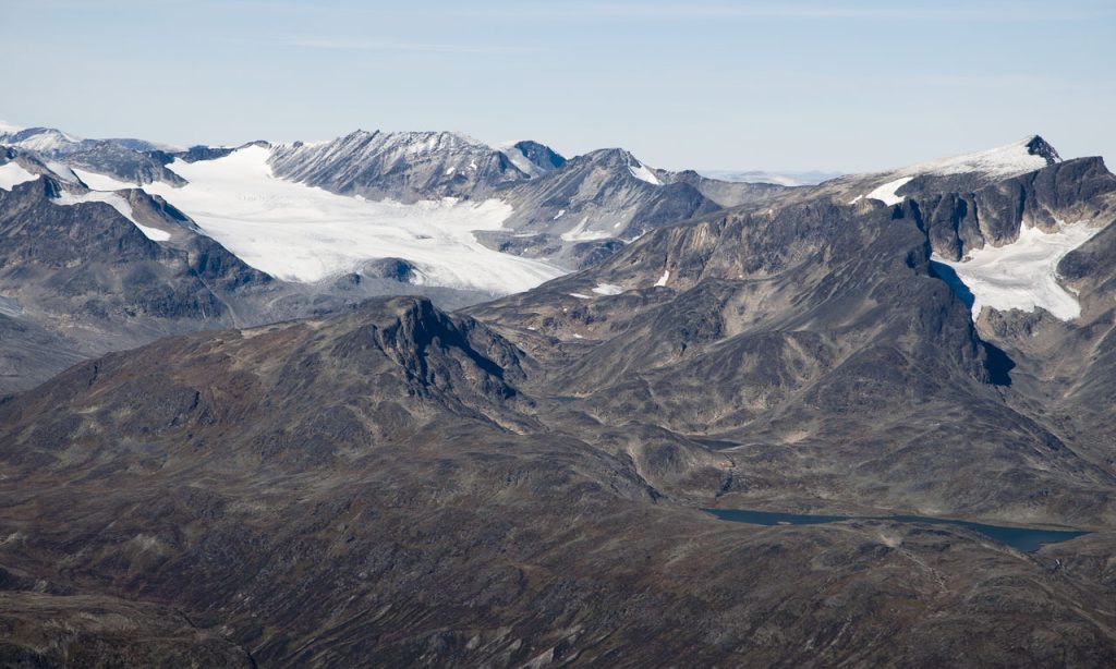
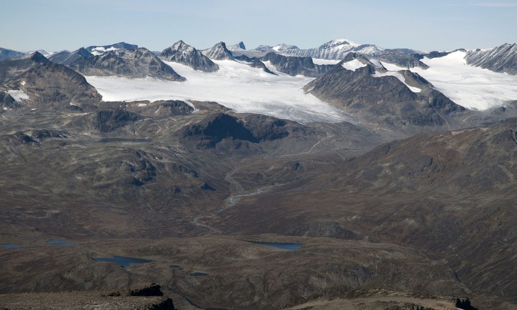
On the north side, the mountain drops 400 meters (1,300 feet) vertically into the Nordre Tjønnholet glacier. That’s a serious feature. The glacier itself is crevassed in places, and while the standard route doesn’t require glacier travel, the edge demands respect. Stay well back from the rim, especially if snow bridges are soft. The mountain’s name comes from the gorges on either side: Nørdre Tjønnholet to the north and Søre Tjønnholet to the south. “Tjønn” refers to a small, bleak lake, and “hol” means hole, ravine, or gorge. These features are more than names—they shape the drainage and the approach lines.
Route Reality and Local Conditions
The standard approach is non-technical, but that doesn’t mean it’s trivial. Most parties start from the west or east, following established trails that ascend talus and scree before reaching the ridge. The route is well-marked in clear conditions, but fog can turn it into a navigation problem. Carry a map and compass, and know how to use them. GPS is a backup, not a primary tool, especially in Jotunheimen’s granite terrain where signals can bounce.
Timing matters. The window for a clean ascent is typically late June through September. Earlier in the season, snow lingers on the upper slopes and the ridge, making footing unpredictable. Later in the autumn, weather deteriorates quickly. Check the forecast for the Gjende area specifically—mountain forecasts for the region are more reliable than general valley reports. Start early. The approach takes 4–6 hours from the trailhead, and you want to be off the ridge by early afternoon when convective clouds build.
Water is plentiful from streams on the lower slopes, but treat it. Above treeline, you’ll need to carry your own. There are no huts on the mountain itself, though the park has staffed lodges at Gjendesheim and Memurubu. Plan your overnight accordingly. If you’re camping, use established sites and follow Leave No Trace principles. The park is protected, and enforcement is real.
What to Watch For
Weather shifts. Jotunheimen is notorious for rapid changes. A clear morning can turn into an afternoon of rain, wind, and near-zero visibility. Turn around before conditions force you to. The ridge between the peaks is no place for a whiteout.
Glacier proximity. The Nordre Tjønnholet glacier is visible from the north side, but you don’t need to cross it for the standard route. However, the drop is steep and unguarded. Don’t approach the edge for photos. Snow cornices can form on the lee side; avoid walking near them.
Routefinding on the ridge. The narrow section is straightforward in dry rock, but wet or icy conditions make it treacherous. Microspikes or a light crampon setup can help if you’re early in the season. A helmet is optional for the ridge but recommended if you’re traversing with a group—loose rock is common.
Other parties. Tjørnholstind is not a crowded peak, but you’ll likely see a few other groups on a summer weekend. Practice good mountain etiquette: yield to ascending hikers, keep noise down, and pack out all waste.
The SummitClimbs Take
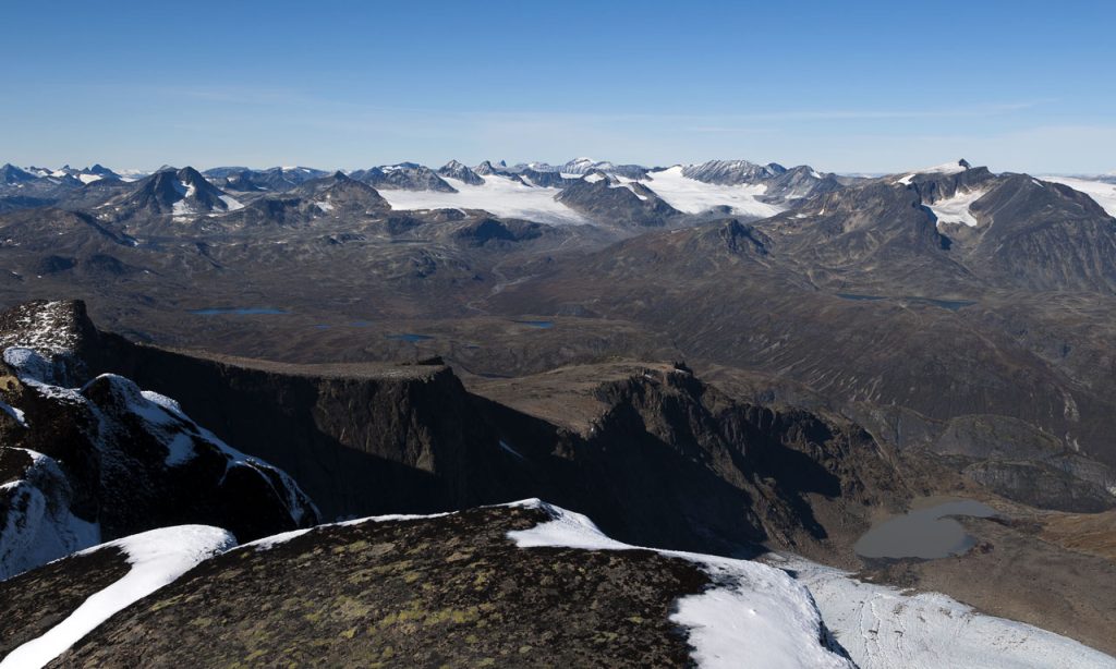
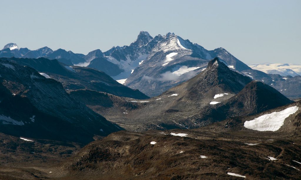
Tjørnholstind is a solid, honest mountain. It won’t test your technical skills, but it will test your judgment. The ridge traverse is the highlight, and the views from both summits stretch across Jotunheimen’s core—Gjende to the north, the Leirungsdalen valley to the south, and a ring of named peaks in every direction. It suits hikers who are comfortable on exposed terrain and who know when to call it. If that describes you, put it on your list. If you’re still building confidence, work up to it on shorter objectives in the park first.
At SummitClimbs, we value routes that deliver without drama. Tjørnholstind does exactly that. Go with a solid forecast, a good partner, and a clear plan. The mountain will meet you halfway.
Keep the Trails Alive
Summit Climbs is free — no ads, no paywalls, no sponsored fluff.
Every guide is written from real experience to help your next adventure.
If it helped, a small support means the world and keeps the site running.