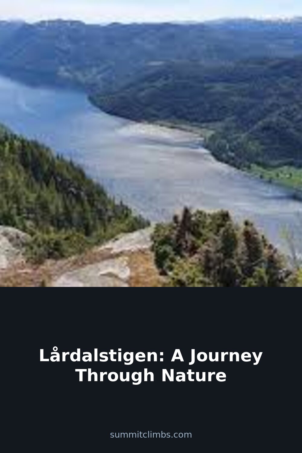

SummitClimbs Field Note: Lårdalstigen is a one-way mountain hike in Tokke, Telemark, that follows the mountain edge up to 800 m above the Telemark Canal, between Eidsborgberget above Dalen and the village of Lårdal on the lake Bandak. Ut.no grades it “demanding/expert”: about 13–14 km, 6–8 hours and 658 m of ascent, with Gløstøylnuten (848 m) as the highest point. The best way to do it is to walk from Dalen to Lårdal and take the canal boat back.
A Mountain Path Above the Telemark Canal
The trail runs high along the mountainside above Bandak, part of the Telemark Canal, with big viewpoints, dramatic scenery and rich cultural history along the way. Ut.no highlights its unusual flora, its geology and the legendary rock formations known as “Risen og Gygri” (the giant and the giantess). At the end lies Lårdal, a small village of 200–250 people on the north side of Bandak, formerly called Triset and, until 1964, the centre of the old Lårdal municipality.
Lårdalstigen at a Glance
- Location: Tokke, Telemark; between Dalen and Lårdal on the lake Bandak
- Length: about 14 km one way (ut.no’s track: 13.3 km)
- Time: 6–8 hours
- Ascent: about 658 m in total
- Highest point: Gløstøylnuten, 848 m
- Grade: demanding/expert
- Season: May to October
- Map: Tokke 1:50,000 and the Lårdalstigen mini-guide (Norwegian/English)

Which Way and How to Get Back
You can walk Lårdalstigen in either direction, but ut.no recommends starting at Eidsborgberget above Dalen and walking towards Lårdal, finishing with the descent to the fjord-like village on Bandak. Start early, around 08:00–09:00, so you reach Lårdal in time for the afternoon boat.
- By boat: the canal boats M/S Victoria and M/S Henrik Ibsen sail between Skien and Dalen in summer and stop at Lårdal. Take the morning boat from Dalen to Lårdal and walk back, or walk from Dalen to Lårdal and take the afternoon boat back. Book tickets in advance.
- By taxi: if the boats are full or not running, Tokke Taxi can drive you between Dalen and Lårdal, or you can leave a car at each end.

Parking and the Start
The trailhead is on Eidsborgberget, signposted Lårdalstigen off county road 450 about 4 km from Dalen towards Høydalsmo, just after the blue Eidsborg place-name sign. Parking at the trailhead is limited, the entry and exit are a little awkward, and ut.no notes it was closed at the time of writing. The recommended option is free long-term parking at the quay in Dalen (opposite the motorhome parking) and a taxi up to the start; your car is then waiting when you come ashore from the boat. If you start in Lårdal, there is parking at the church or the harbour.
A Shorter Option
If you do not want to walk the whole route, park in Støylsdalen and walk a 6 km loop around Gløstøylnuten. You can also walk from Støylsdalen down to Lårdal to avoid the steepest sections.

Before You Go
- Water: carry plenty, at least 2–3 litres on warm days.
- Food: there is nowhere to buy food along the way, so bring a packed lunch and snacks.
- Footwear: wear good hiking boots with solid soles.
- Heddebu: sign the guest book at Heddebu, a small drop-in cabin along the route with room for two.
- Weather: check the forecast on yr.no before you go.
The SummitClimbs Take
Lårdalstigen is one of the great day hikes of Telemark: a long, demanding walk along the mountain edge, high above the canal, with a boat ride home at the end. Start early from Eidsborgberget, carry plenty of water, and time your descent to Lårdal for the afternoon boat.
Facts from ut.no (Lårdalstigen) and Norwegian Wikipedia (Lårdal). Always check current conditions and boat times before you go.
Keep the Trails Alive
Summit Climbs is free — no ads, no paywalls, no sponsored fluff.
Every guide is written from real experience to help your next adventure.
If it helped, a small support means the world and keeps the site running.