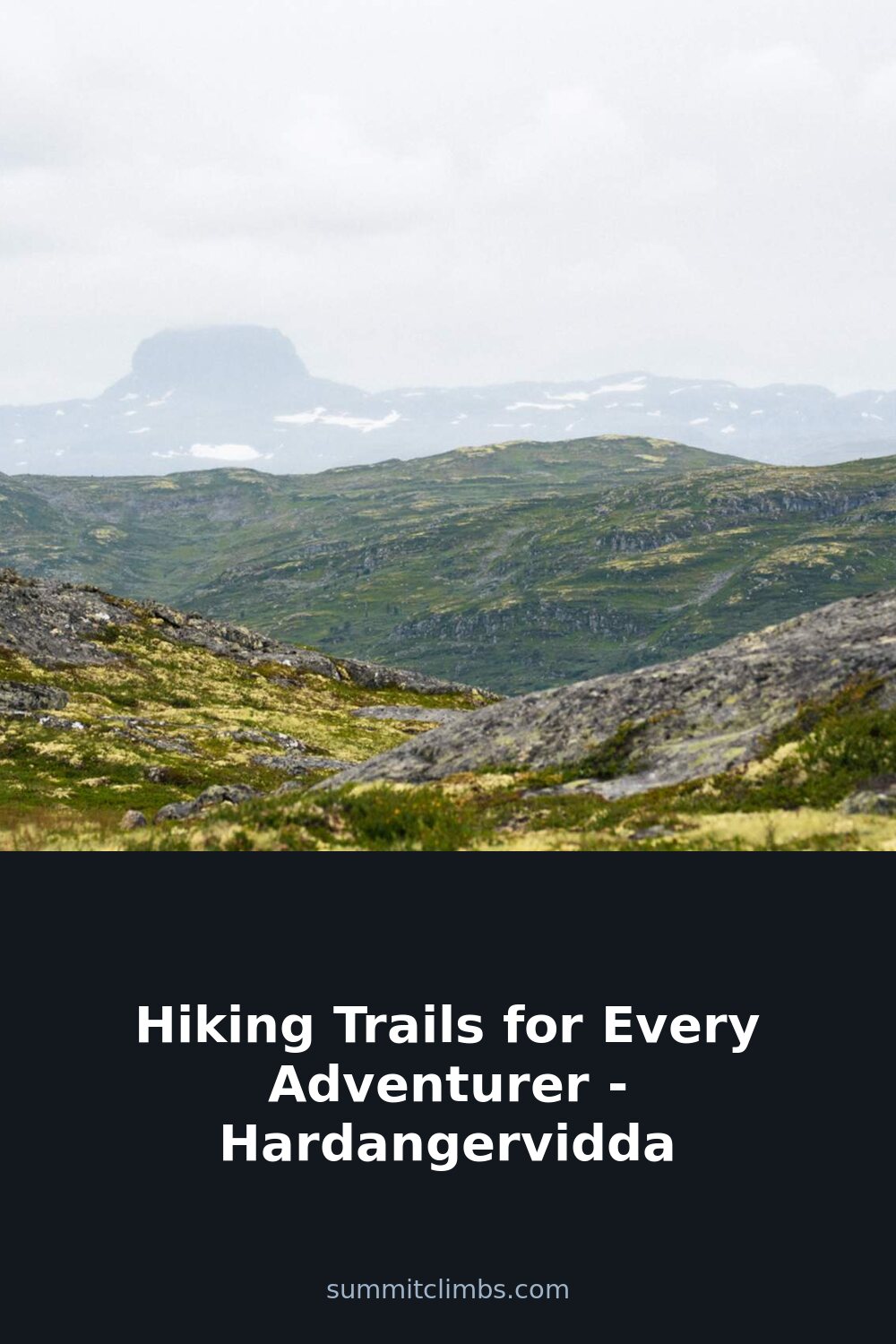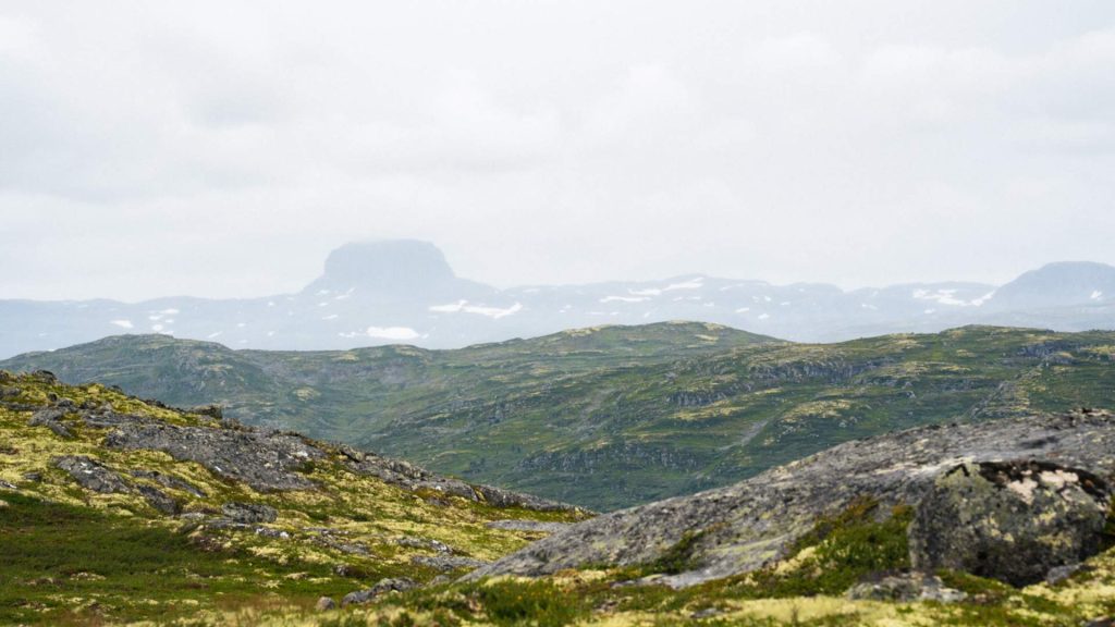
SummitClimbs Field Note: Hardangervidda is often described as Europe’s largest mountain plateau, but that fact alone doesn’t prepare you for the scale of it. At over 6,500 square kilometers, this is not a place you casually “do” in a weekend. It’s a high-altitude wilderness where the horizon stretches endlessly, weather shifts without warning, and the trails demand respect. We’ve walked sections of the Rallarvegen and the Finse traverse, and we keep coming back—not for the Instagram shots, but for the rare kind of silence that only a true plateau can offer.
Why This Place Belongs on a Norway Mountain Plan
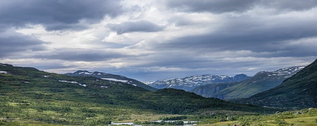
Hardangervidda sits at the heart of southern Norway, bridging the Oslo region with the fjord country. Its terrain is deceptive: from a distance, the rolling plains look gentle, but close up, the landscape is carved by glacial rivers, sudden cliffs, and boulder fields that test your footing. The plateau hosts one of Europe’s last wild reindeer herds, and the birdlife—golden plover, rough-legged buzzard, gyrfalcon—is a serious draw for naturalists. But the real draw is the walking. The trail network, maintained by the Norwegian Trekking Association (DNT), connects a series of mountain huts that make multi-day routes possible without carrying a full expedition load. That said, you need to plan carefully. This is not a place to wing it.
The SummitClimbs Snapshot
- Best for: Experienced hikers ready for multi-day trips with full weather awareness. Day hikers can find shorter routes near road access points, but the plateau’s core is remote.
- Peak season: Late June through early September. Snow lingers on higher passes into July. By mid-September, the huts close and weather turns serious.
- Navigation: Trails are marked with cairns and red paint, but fog can reduce visibility to 20 meters. Carry a paper map and compass. GPS is a backup, not a primary tool.
- Accommodation: DNT huts (self-service or staffed) spaced roughly a day’s walk apart. Book ahead in summer. Some huts require key access; check DNT’s system before you go.
- Water: Abundant from streams and lakes. Treat or boil. Giardia is rare but present in warmer months.
Route Reality and Local Conditions
Rallarvegen is the most accessible introduction to Hardangervidda. Built originally for railway construction, this 80-kilometer gravel track runs from Haugastøl to Flåm, passing through Finse and Myrdal. It’s popular with cyclists, but walkers can tackle sections without the bike traffic. The terrain is mostly gentle, with long views across the plateau. The real challenge here is wind: the corridor funnels gusts that can knock you sideways. We’ve seen experienced trekkers forced to wait out afternoon gales. Start early, and don’t assume the weather will hold.
Haukeliseter to Finse is a different beast. This roughly 100-kilometer traverse crosses the plateau’s most exposed sections. You’ll be out for five to seven days, carrying food and fuel for the entire trip. The trail is not always obvious—cairns can be widely spaced, and river crossings require judgment after rain. This route is for hikers who are confident in route-finding and comfortable with solitude. You may not see anyone for two days. The reward is a genuine wilderness experience, but it asks for competence, not bravado.
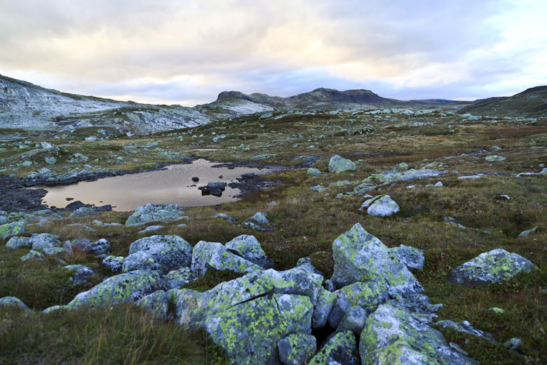
Hårteigen (the “navel of Hardangervidda”) is a distinct peak that rises abruptly from the plateau. The summit hike is short by alpine standards, but the approach from the nearest hut is a full day. The ascent involves scrambling over blocky scree; poles help, but your hands will be needed. On a clear day, the view is panoramic across the entire plateau. On a cloudy day, you’ll see nothing but rock and fog. Check the forecast, and turn back if visibility drops.
Gaustatoppen sits just south of the plateau proper, but it’s often included in Hardangervidda itineraries. The hike from the car park is steep but short (about 3 hours up, 2 down). On a clear day, the summit offers a view over one-sixth of Norway. The catch: “clear day” is rare. We’ve been up twice in perfect conditions and three times in whiteout. The trail is well-maintained, but the top is exposed. If you’re only here for one hike, Gaustatoppen is a solid choice—just be ready to descend if the clouds roll in.
What to Watch For
Weather Whiplash
Hardangervidda does not do stable. You can start a day in sunshine and be shivering in sleet by lunch. The plateau sits at 1,100–1,400 meters, and the weather systems sweep in from the Atlantic with little warning. Pack a waterproof shell, insulating mid-layer, and a hat and gloves—even in August. We’ve seen hypothermia cases from hikers who thought “summer” meant shorts.
River Crossings
Meltwater swells rivers in late afternoon. Cross early in the day, and scout for braided sections where the water spreads out. Never cross if the water is above your knees and moving fast. Turn back or wait for lower flow.
Reindeer Encounters
The herd is wild and sensitive. If you see reindeer, stop and observe from at least 100 meters. Do not approach for a photo. Dogs are not allowed on the plateau during calving season (May–July).
Hut Etiquette
DNT huts are basic: bunks, a stove, and a toilet. You’ll be sharing space with strangers. Pack in your own food, stove fuel, and a sleeping bag liner. Leave the hut cleaner than you found it. If you’re not a DNT member, you can still use the huts, but you’ll pay a higher fee.
The SummitClimbs Take
Hardangervidda is not a beginner’s playground. It’s a place for hikers who understand that the mountain doesn’t care about your schedule. The plateau rewards those who come prepared, move deliberately, and respect the weather. If you want a guided, hut-to-hut experience with minimal decision-making, this might not be the right fit. But if you’re ready to carry your own weight, navigate by compass, and accept that the summit might be hidden in cloud, then Hardangervidda will give you some of the most honest walking in Europe. We’ve been humbled here, and we keep going back. That’s the measure of a great mountain destination.
Keep the Trails Alive
Summit Climbs is free — no ads, no paywalls, no sponsored fluff.
Every guide is written from real experience to help your next adventure.
If it helped, a small support means the world and keeps the site running.