
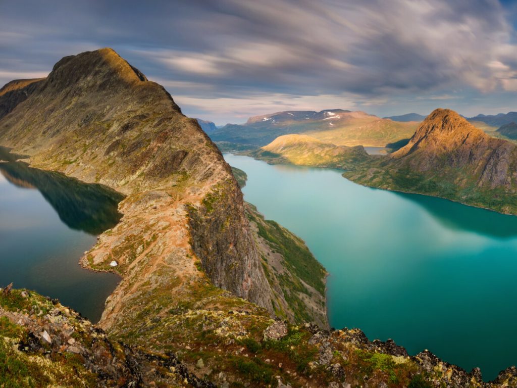
SummitClimbs Field Note: Besseggen is the narrow ridge in eastern Jotunheimen between the green lake Gjende and the deep-blue Bessvatnet, and one of the most popular mountain hikes in Norway, walked by tens of thousands of people every year. The classic route runs between Gjendesheim and Memurubu: most hikers take the boat across Gjende to Memurubu and walk back over the ridge to Gjendesheim. Ut.no grades it “extra demanding”: about 14 km, around 8 hours and 1,020 m of ascent, with the highest point on Veslfjellet (1,743 m).
Two Lakes, Two Colours
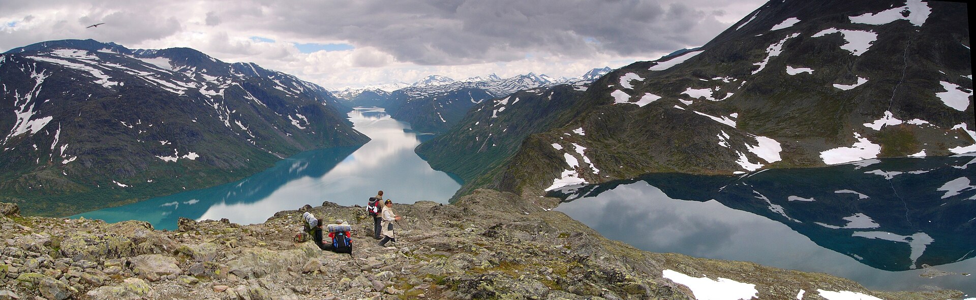
Besseggen lies in Vågå Municipality inside Jotunheimen National Park, with Veslfjellet to the east and Besshøe to the northwest. Strictly, the name belongs to the steep crest just west of Veslfjellet’s summit, but the hike usually includes the whole mountain east of Bandet. What makes the view unique is the contrast below you: Gjende lies almost 400 m lower than Bessvatnet, and while Bessvatnet has the blue colour of most lakes, Gjende is distinctly green, coloured by glacial water carrying clay (rock flour). Looking towards Memurubu you can see the river Muru clouding the water with pale runoff.
Besseggen at a Glance
- Location: Vågå, Innlandet; Jotunheimen National Park, between Gjende and Bessvatnet
- Route: Memurubu to Gjendesheim (boat first), or the other way round
- Distance: about 14 km (ut.no’s track: 13.7 km)
- Ascent: about 1,020 m in total
- Time: about 8 hours in total (ut.no); Wikipedia gives 5–7 hours of walking without breaks
- Highest point: Veslfjellet, 1,743 m; the Besseggen ridge itself is about 1,634 m
- Grade: extra demanding
- Season: June to October; peak traffic in July, August and the first weekends of September
- Visitors: sources give from about 30,000 to 50,000 hikers a year
The Classic Route
Ut.no suggests staying the night at Gjendesheim, then taking the morning boat across Gjende to Memurubu and walking back. That is the way most people go: you climb up the steep sections rather than down them, and it feels less exposed than the other direction, with half of Jotunheimen in front of you.
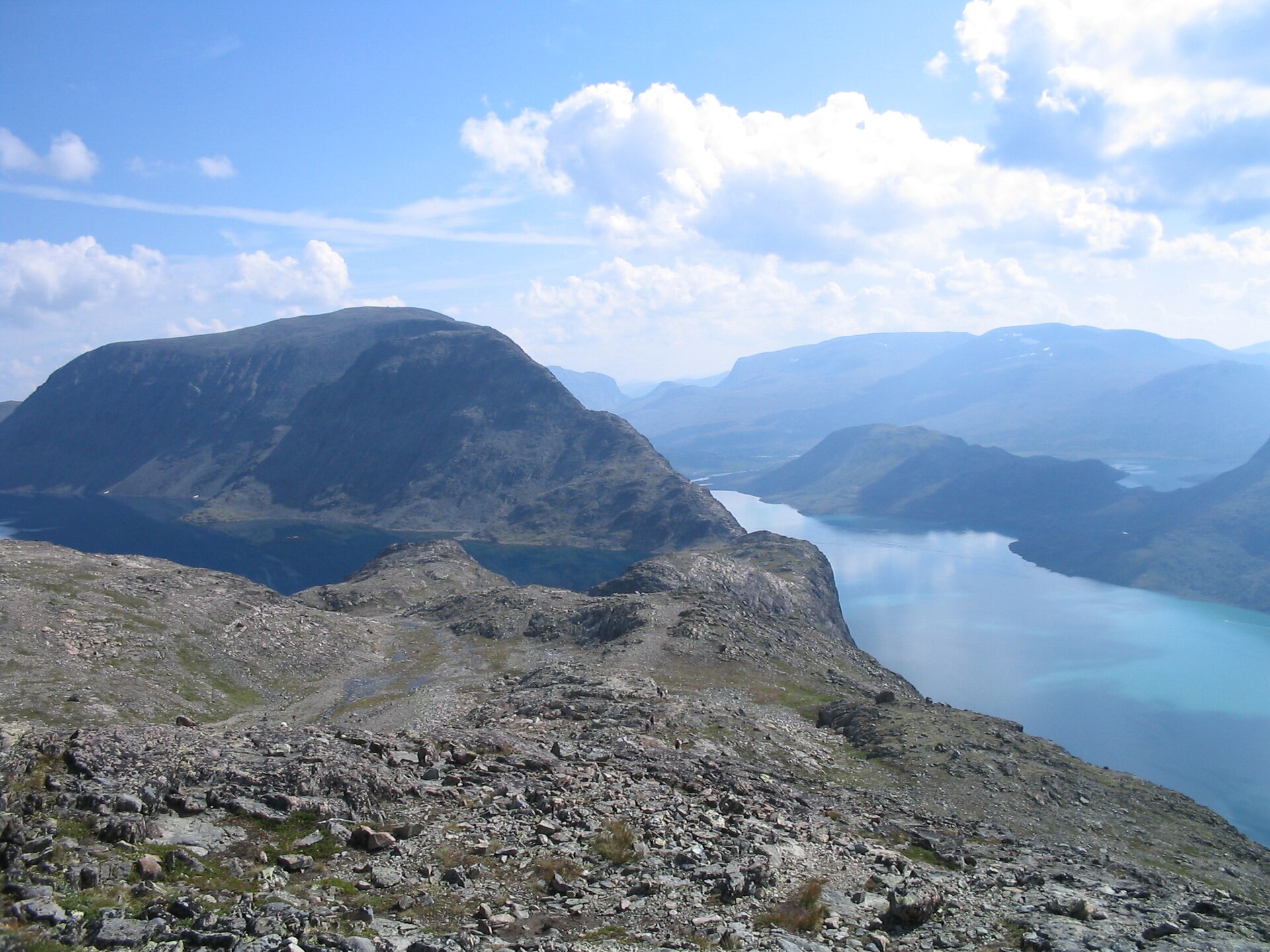
From Memurubu the path climbs steeply to Bjørnhøltjørna, then drops to Bandet (1,604 m), the flat isthmus about 100 m wide between Gjende and Bessvatnet; the slope down towards Gjende is steep. From Bandet a steep and airy crest climbs to Veslfjellet. This is Besseggen proper. From the top the path continues back down to Gjendesheim.
There is also a quieter variant. From Gjendesheim or Bessheim, walk up to Bessvatnet and around the lake to join the Memurubu path at Bandet, then follow the main path over Besseggen itself. To return to Bessheim, follow the main path to just past the highest point, where a small sign points down towards Bessvatnet and Bessheim.
Peer Gynt, Cairns and Stone Steps
Besseggen is famous from the “buck ride” in Henrik Ibsen’s Peer Gynt, where Peer tries to convince his mother Åse that he rode over Gjendineggen, now called Besseggen, on a reindeer buck. Ibsen based the scene on a tale by Asbjørnsen from 1842. The theology student Jonas Dahl wrote the first known description of the hike in 1870, and in 1871 DNT built cairns to mark the best route.
Heavy traffic has caused serious erosion on the paths from both Gjendesheim and Memurubu. From 2005, Statens naturoppsyn funded a restoration project that lays stone slabs on the trail. The stone was flown in by helicopter from Vågå, because taking stone in bulk from the national park is illegal. Accidents have been few, but one person was hit by lightning, and a hiker died in 1867 after leaving the route.
Before You Go
- Book the boat: buy your ticket for the boat across Gjende to or from Memurubu in advance.
- Parking: at Reinsvangen, about 2 km away, with a shuttle bus to the start at Gjende (parking fee); a marked footpath also runs from the car park to the boat harbour.
- By bus: Valdresekspressen runs to Gjendesheim from Oslo or Sogndal, and Ottadalen billag runs from Otta.
- Pack: a solid 30-litre pack with map and compass, first-aid kit, a fully charged phone and a headlamp.
- Stay on the path: it has been rebuilt with stone to stop erosion.
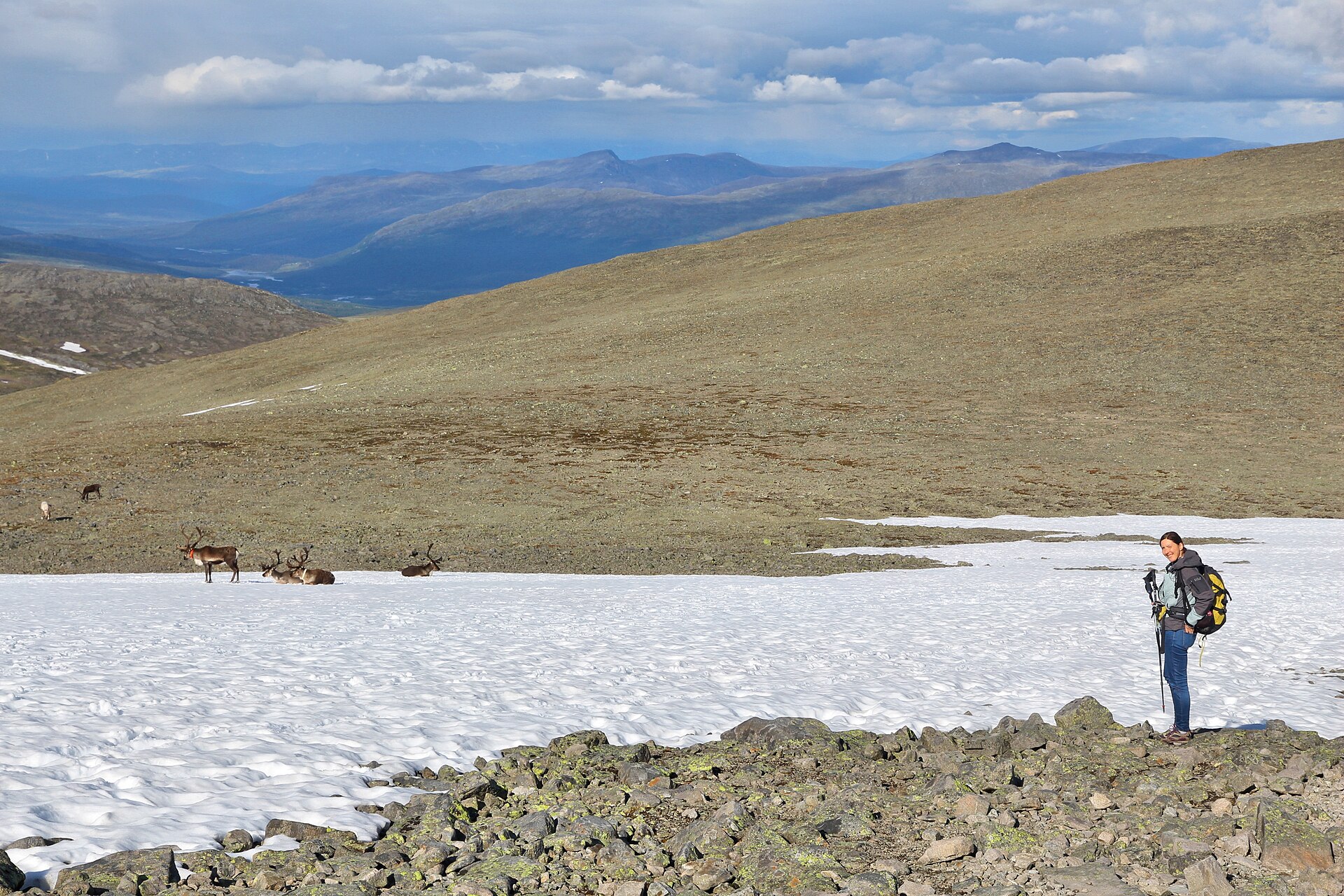
- Weather: check the mountain forecast on yr.no, and avoid the exposed ridge in thunderstorms and strong wind.
The SummitClimbs Take
Besseggen deserves its fame: a steep, airy crest with a green lake on one side and a blue lake 400 m higher on the other. Do it the classic way: boat to Memurubu in the morning, then walk home over the ridge to Gjendesheim. Book the boat, start early and carry proper mountain gear. For the wider area, see our Jotunheimen guide.
Facts from ut.no (Klassikeren over Besseggen), Norwegian Wikipedia (Besseggen) and Wikipedia. Always check current conditions and boat times before you go.